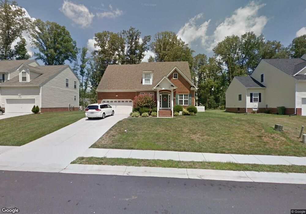
4217 Cameron Rd Hopewell, VA 23860
Estimated Value: $369,063 - $392,000
4
Beds
3
Baths
2,246
Sq Ft
$169/Sq Ft
Est. Value
About This Home
This home is located at 4217 Cameron Rd, Hopewell, VA 23860 and is currently estimated at $380,266, approximately $169 per square foot. 4217 Cameron Rd is a home located in Hopewell City with nearby schools including Carter G. Woodson Middle School, Hopewell High School, and West End Christian School.
Ownership History
Date
Name
Owned For
Owner Type
Purchase Details
Closed on
Jul 29, 2024
Sold by
Barraclough Julia Ann and Ellison Brandon
Bought by
Robinson Kelvin L and Robinson Tabatha S
Current Estimated Value
Purchase Details
Closed on
Feb 10, 2009
Sold by
James Higgins & Son Contr Inc
Bought by
Howington Joseph E
Home Financials for this Owner
Home Financials are based on the most recent Mortgage that was taken out on this home.
Original Mortgage
$245,471
Interest Rate
5.2%
Mortgage Type
FHA
Create a Home Valuation Report for This Property
The Home Valuation Report is an in-depth analysis detailing your home's value as well as a comparison with similar homes in the area
Home Values in the Area
Average Home Value in this Area
Purchase History
| Date | Buyer | Sale Price | Title Company |
|---|---|---|---|
| Robinson Kelvin L | $350,000 | Appomattox Title | |
| Howington Joseph E | $250,000 | -- |
Source: Public Records
Mortgage History
| Date | Status | Borrower | Loan Amount |
|---|---|---|---|
| Previous Owner | Howington Joseph E | $245,471 |
Source: Public Records
Tax History Compared to Growth
Tax History
| Year | Tax Paid | Tax Assessment Tax Assessment Total Assessment is a certain percentage of the fair market value that is determined by local assessors to be the total taxable value of land and additions on the property. | Land | Improvement |
|---|---|---|---|---|
| 2025 | $3,846 | $328,700 | $51,500 | $277,200 |
| 2024 | $3,657 | $312,600 | $50,000 | $262,600 |
| 2023 | $3,532 | $312,600 | $50,000 | $262,600 |
| 2022 | $2,788 | $246,700 | $45,500 | $201,200 |
| 2021 | $2,788 | $246,700 | $45,500 | $201,200 |
| 2020 | $2,614 | $231,300 | $50,000 | $181,300 |
| 2019 | $2,614 | $231,300 | $50,000 | $181,300 |
| 2018 | $2,543 | $225,000 | $48,000 | $177,000 |
| 2017 | $2,543 | $225,000 | $48,000 | $177,000 |
| 2016 | $2,574 | $227,800 | $48,000 | $179,800 |
| 2015 | $2,574 | $227,800 | $48,000 | $179,800 |
| 2014 | $2,426 | $218,600 | $45,600 | $173,000 |
Source: Public Records
Map
Nearby Homes
- NEUVILLE Plan at Anchor Point
- PINE Plan at Anchor Point
- CABRAL Plan at Anchor Point
- DELMAR Plan at Anchor Point
- ESSEX Plan at Anchor Point
- 4049 Eagle Dr
- 301 Beacon Ridge Dr Unit 109
- 3901 Cambridge Place
- 3803 Eagle Dr
- 3506 W Broadway
- 00 Brookneal Dr
- 01 Brookneal Dr
- 3500 N Colonial Dr
- 3408 N Radford Dr
- 376 Libby Ave
- 308 Pin Oak Dr
- 3611 Creekwood Dr
- 3008 W Grant St
- 420 Park Ave
- 3808 Jackson Farm Rd
- 4217 Cameron Rd
- 4219 Cameron Rd
- 4215 Cameron Rd
- 4129 Wisteria Ln
- 4221 Cameron Rd
- 4221 Cameron Rd
- 4127 Wisteria Ln
- 4209 Cameron Rd
- 4218 Cameron Rd
- 4216 Cameron Rd
- 4205 Cameron Rd
- 4220 Cameron Rd
- 4223 Cameron Rd
- 4223 Cameron Rd
- 1605 Camerons Landing Blvd
- 1605 Cameron's Landing Blvd
- 4222 Cameron Rd
- 4201 Cameron Rd
- 4214 Cameron Rd
- 1607 Camerons Landing Blvd