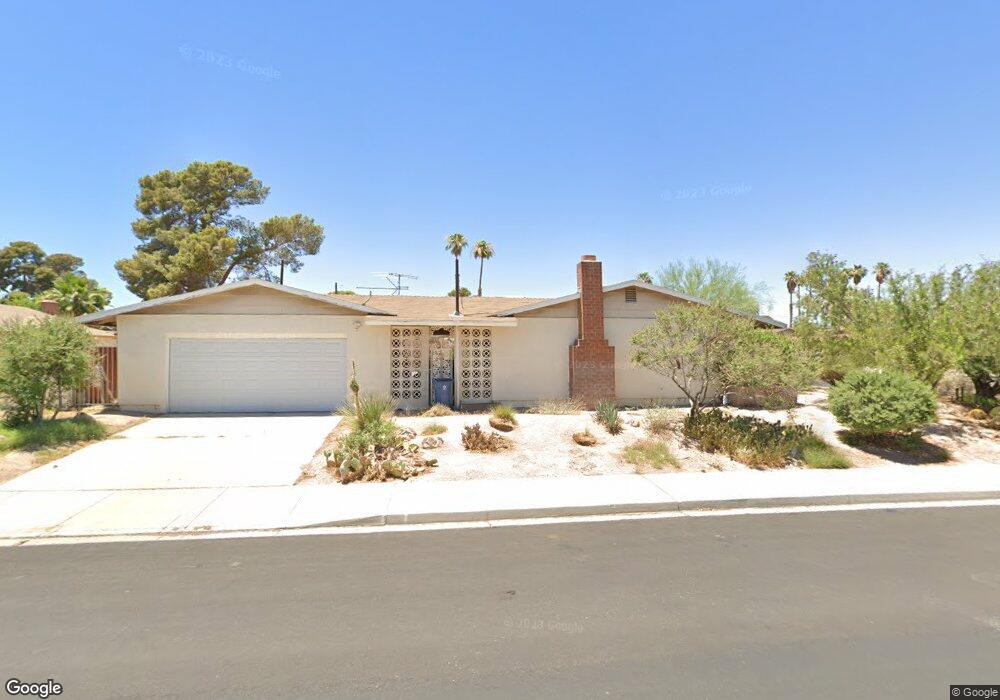
4217 Flame Cir Las Vegas, NV 89108
Twin Lakes NeighborhoodEstimated Value: $396,000 - $497,000
4
Beds
2
Baths
1,838
Sq Ft
$248/Sq Ft
Est. Value
About This Home
This home is located at 4217 Flame Cir, Las Vegas, NV 89108 and is currently estimated at $455,257, approximately $247 per square foot. 4217 Flame Cir is a home located in Clark County with nearby schools including Twin Lakes Elementary School, J. Harold Brinley Middle School, and Western High School.
Ownership History
Date
Name
Owned For
Owner Type
Purchase Details
Closed on
Sep 14, 2010
Sold by
Bohner Christopher
Bought by
Dahlquist Ann K
Current Estimated Value
Purchase Details
Closed on
Apr 7, 2004
Sold by
Jones Donald F and Jones Doris D
Bought by
Bohner Christopher
Purchase Details
Closed on
Mar 27, 2003
Sold by
Jones Donald F and Jones Doris D
Bought by
Jones Donald F and Jones Doris D
Create a Home Valuation Report for This Property
The Home Valuation Report is an in-depth analysis detailing your home's value as well as a comparison with similar homes in the area
Home Values in the Area
Average Home Value in this Area
Purchase History
| Date | Buyer | Sale Price | Title Company |
|---|---|---|---|
| Dahlquist Ann K | $115,000 | Nevada Title Las Vegas | |
| Bohner Christopher | -- | Accommodation | |
| Bohner Christopher | $265,000 | Land Title | |
| Jones Donald F | -- | -- |
Source: Public Records
Tax History Compared to Growth
Tax History
| Year | Tax Paid | Tax Assessment Tax Assessment Total Assessment is a certain percentage of the fair market value that is determined by local assessors to be the total taxable value of land and additions on the property. | Land | Improvement |
|---|---|---|---|---|
| 2025 | $1,297 | $72,343 | $37,100 | $35,243 |
| 2024 | $1,260 | $72,343 | $37,100 | $35,243 |
| 2023 | $1,260 | $71,124 | $39,550 | $31,574 |
| 2022 | $1,223 | $67,946 | $39,550 | $28,396 |
| 2021 | $1,188 | $61,037 | $34,650 | $26,387 |
| 2020 | $1,150 | $56,070 | $30,450 | $25,620 |
| 2019 | $1,117 | $52,346 | $27,650 | $24,696 |
| 2018 | $1,084 | $47,850 | $23,100 | $24,750 |
| 2017 | $1,611 | $49,156 | $23,100 | $26,056 |
| 2016 | $1,028 | $45,793 | $18,200 | $27,593 |
| 2015 | $1,025 | $42,155 | $14,350 | $27,805 |
| 2014 | $995 | $29,440 | $9,800 | $19,640 |
Source: Public Records
Map
Nearby Homes
- 4228 Gaye Ln
- 1732 Yellow Rose St
- 4406 Parkchester Cir
- 1885 Valley Dr
- 1817 Ann Greta Dr
- 1825 Stonehaven Dr
- 1825 Ann Greta Dr
- 1300 Oak Tree Ln
- 3616 Roseglen Ct
- 1912 Parkchester Dr
- 3871 Mountain Trail
- 1920 Parkchester Dr
- 1832 N Decatur Blvd Unit 104
- 1802 N Decatur Blvd Unit 203
- 1824 N Decatur Blvd Unit 101
- 1836 N Decatur Blvd Unit 203
- 1858 N Decatur Blvd Unit 204
- 1842 N Decatur Blvd Unit 101
- 4200 Coran Ln
- 1325 Pyramid Dr
- 4221 Flame Cir
- 4216 Stonebridge Ln
- 1612 Stonehaven Dr
- 4220 Stonebridge Ln
- 1608 Stonehaven Dr
- 4216 Flame Cir
- 4220 Flame Cir
- 1608 Bluestone Dr
- 1604 Stonehaven Dr
- 1612 Bluestone Dr
- 1604 Bluestone Dr
- 1620 Stonehaven Dr
- 4221 Stonebridge Ln
- 1616 Bluestone Dr
- 4217 Stonebridge Ln
- 4213 Stonebridge Ln
- 4217 Blume Cir
- 4221 Blume Cir
- 1639 Valley Dr
- 1639 Valley Dr