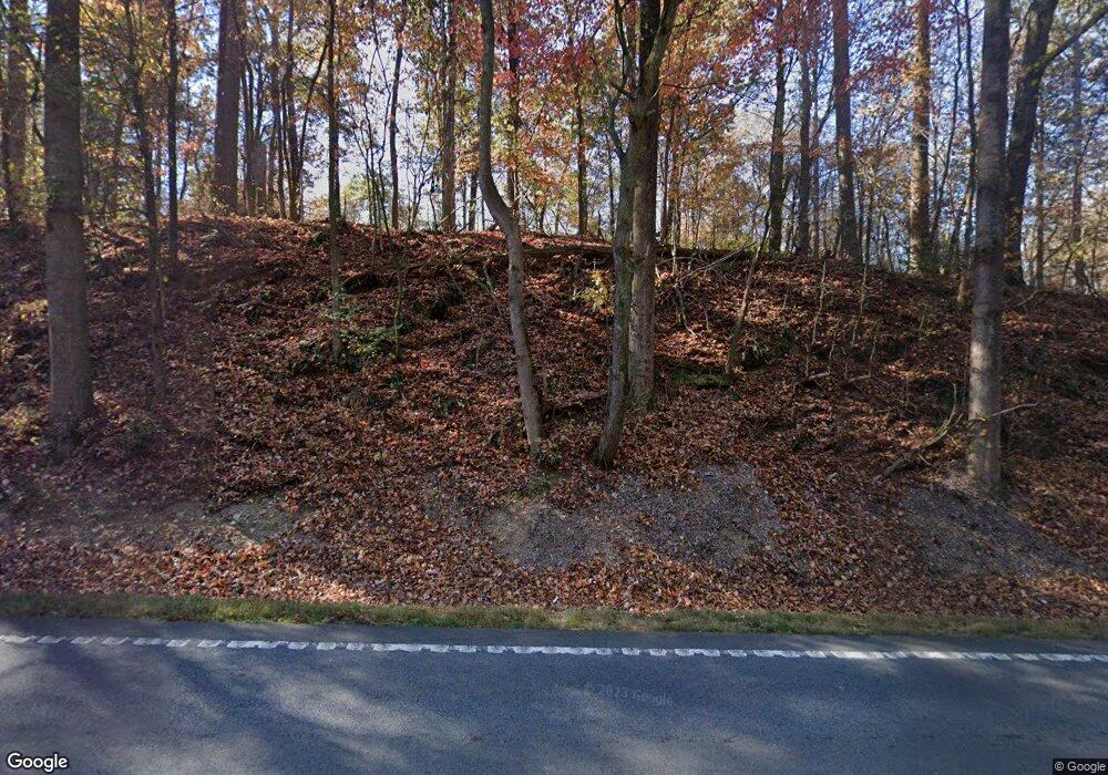
4217 Highway 136 W Dawsonville, GA 30534
Dawson County NeighborhoodEstimated Value: $912,000 - $1,243,572
3
Beds
4
Baths
2,524
Sq Ft
$432/Sq Ft
Est. Value
About This Home
This home is located at 4217 Highway 136 W, Dawsonville, GA 30534 and is currently estimated at $1,090,524, approximately $432 per square foot. 4217 Highway 136 W is a home located in Dawson County with nearby schools including Robinson Elementary School, Dawson County Junior High School, and Dawson County Middle School.
Ownership History
Date
Name
Owned For
Owner Type
Purchase Details
Closed on
Jan 9, 2023
Sold by
Tanco Investments Llc
Bought by
Tanner Stacie and Tanner Kevin
Current Estimated Value
Purchase Details
Closed on
Jan 14, 2011
Sold by
Tanner Jeff
Bought by
Tanner Kevin K
Home Financials for this Owner
Home Financials are based on the most recent Mortgage that was taken out on this home.
Original Mortgage
$310,000
Interest Rate
4.82%
Mortgage Type
New Conventional
Purchase Details
Closed on
Sep 19, 2006
Sold by
Not Provided
Bought by
Tanner Kevin K and Tanner Stacie
Create a Home Valuation Report for This Property
The Home Valuation Report is an in-depth analysis detailing your home's value as well as a comparison with similar homes in the area
Home Values in the Area
Average Home Value in this Area
Purchase History
| Date | Buyer | Sale Price | Title Company |
|---|---|---|---|
| Tanner Stacie | -- | -- | |
| Tanner Kevin K | $410,000 | -- | |
| Tanner Kevin K | -- | -- |
Source: Public Records
Mortgage History
| Date | Status | Borrower | Loan Amount |
|---|---|---|---|
| Previous Owner | Tanner Kevin K | $310,000 |
Source: Public Records
Tax History Compared to Growth
Tax History
| Year | Tax Paid | Tax Assessment Tax Assessment Total Assessment is a certain percentage of the fair market value that is determined by local assessors to be the total taxable value of land and additions on the property. | Land | Improvement |
|---|---|---|---|---|
| 2024 | $4,770 | $400,380 | $127,880 | $272,500 |
| 2023 | $4,738 | $369,060 | $97,440 | $271,620 |
| 2022 | $4,573 | $215,464 | $16,440 | $199,024 |
| 2021 | $4,220 | $188,524 | $16,440 | $172,084 |
| 2020 | $4,170 | $178,244 | $9,880 | $168,364 |
| 2019 | $4,073 | $172,644 | $9,880 | $162,764 |
| 2018 | $4,081 | $172,644 | $9,880 | $162,764 |
Source: Public Records
Map
Nearby Homes
- 7165 Ellorie Estates Unit LOT 58
- Lot 2 Yancy Dr
- 6 Crawford Place
- 9 Crawford Crest
- 8 Crawford Crest
- 7 Crawford Crest
- 0 Little Mountain Rd Unit 23939447
- 0 Cleve Wright Rd Unit 10602602
- 0 Cleve Wright Rd Unit 7647784
- 123 Stillwater Ln
- 157 Lakota Dr
- 237 Nugget Ridge Rd
- 00 Little Mountain Rd
- 167 Nugget Ridge Rd
- 312 Crown Pointe Dr
- 269 Crown Pointe Dr
- 1606 Shoal Creek Rd
- 617 Gold Bullion Dr W
- 3050 Burt Creek Rd
- 4219 Highway 136 W
- 141 Spriggs Rd
- 11 Alonzo Burt Rd
- 4212 Highway 136 W
- 3831 Highway 136 W
- 7 Spriggs Rd Unit 442
- A Spriggs Rd
- 146 Ivey Rd
- 3749 Highway 136 W
- 3777 Highway 136 W
- 1412 Old Henry Grady Rd
- 4384 Highway 136 W
- 156 Spriggs Rd
- 1310 Old Henry Grady Rd
- 1264 Old Henry Grady Rd
- 618 Old Henry Grady Rd
- 4634 Highway 136 W
- 1266 Old Henry Grady Rd
- 00 Alonzo Burt Rd
- 0 Alonzo Burt Rd
