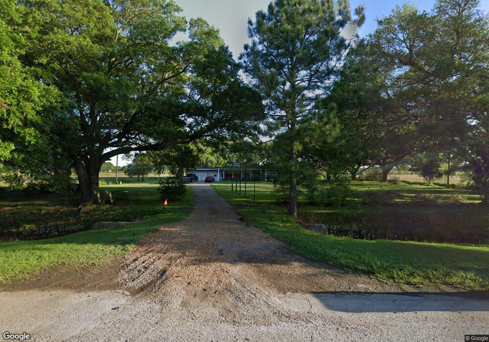
4217 Highway 190 Eunice, LA 70535
Estimated Value: $191,000 - $264,005
3
Beds
3
Baths
2,751
Sq Ft
$81/Sq Ft
Est. Value
About This Home
This home is located at 4217 Highway 190, Eunice, LA 70535 and is currently estimated at $223,001, approximately $81 per square foot. 4217 Highway 190 is a home located in St. Landry Parish with nearby schools including East Elementary School, St. Edmund Elementary School, and St. Edmund Catholic School.
Ownership History
Date
Name
Owned For
Owner Type
Purchase Details
Closed on
Nov 14, 2022
Sold by
Cognevich Steven D and Stephens Cherie Lynn
Bought by
Gaspard Patrick
Current Estimated Value
Home Financials for this Owner
Home Financials are based on the most recent Mortgage that was taken out on this home.
Original Mortgage
$116,219
Outstanding Balance
$112,615
Interest Rate
6.95%
Mortgage Type
New Conventional
Estimated Equity
$110,386
Purchase Details
Closed on
Feb 23, 2006
Sold by
Aguillard James Steven and Howie Glen E
Bought by
Cognevich Rene Joseph and Cognevich Margaret Hamby
Home Financials for this Owner
Home Financials are based on the most recent Mortgage that was taken out on this home.
Original Mortgage
$90,000
Interest Rate
6.09%
Mortgage Type
Purchase Money Mortgage
Create a Home Valuation Report for This Property
The Home Valuation Report is an in-depth analysis detailing your home's value as well as a comparison with similar homes in the area
Home Values in the Area
Average Home Value in this Area
Purchase History
| Date | Buyer | Sale Price | Title Company |
|---|---|---|---|
| Gaspard Patrick | $110,000 | Cypress Title | |
| Cognevich Rene Joseph | $145,000 | -- |
Source: Public Records
Mortgage History
| Date | Status | Borrower | Loan Amount |
|---|---|---|---|
| Open | Gaspard Patrick | $116,219 | |
| Previous Owner | Cognevich Rene Joseph | $90,000 |
Source: Public Records
Tax History Compared to Growth
Tax History
| Year | Tax Paid | Tax Assessment Tax Assessment Total Assessment is a certain percentage of the fair market value that is determined by local assessors to be the total taxable value of land and additions on the property. | Land | Improvement |
|---|---|---|---|---|
| 2024 | $345 | $14,500 | $1,000 | $13,500 |
| 2023 | $348 | $14,500 | $1,000 | $13,500 |
| 2022 | $720 | $14,500 | $1,000 | $13,500 |
| 2021 | $720 | $14,500 | $1,000 | $13,500 |
| 2020 | $720 | $14,500 | $1,000 | $13,500 |
| 2019 | $697 | $14,500 | $1,000 | $13,500 |
| 2018 | $702 | $14,500 | $1,000 | $13,500 |
| 2017 | $702 | $14,500 | $1,000 | $13,500 |
| 2015 | $699 | $14,500 | $1,000 | $13,500 |
| 2013 | $698 | $14,500 | $1,000 | $13,500 |
Source: Public Records
Map
Nearby Homes
- 545 Louisiana 367
- 401 Great Slave Ave
- Tbd Suzie Dr
- 0 E Laurel Ave Unit 21010342
- 0 E Laurel Ave Unit 22003406
- 1445 Amazon St
- 1411 Nile St
- 220 S Vivian Ave
- 117 Sam St
- 565 Kyries Hebert St
- 1221 Anne St
- Tbd Brother J Rd
- Tbd Laurel St
- 1450 Laurel St
- 1100 Nile St
- 450 E Vine Ave
- 341 N Saint George St
- 220 S Mallet St
- 421 Cotton Ave
- Tbd Hwy 190
- 4217 U S 190
- 4214 Highway 190
- 4198 Highway 190
- 4254 Highway 190
- 129 Max Rd
- 4270 Highway 190
- 4287 Highway 190
- 184 Max Rd
- 159 Willie Young Rd
- Tbd Willie Young (C_2) Rd Unit 2
- 159 Max Rd
- Tbd Willie Young (C_1) Rd Unit 1
- 243 Max Rd
- 189 Willie Young Rd
- 173 Willie Young Rd
- 146 G J Zydeco Rd
- 124 Danny Ln
- 237 Willie Young Rd
- 152 Danny Ln
- 263 Max Rd