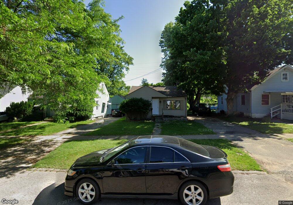
4217 Pengelly Rd Flint, MI 48507
Circle Drive NeighborhoodEstimated Value: $68,000 - $137,000
3
Beds
2
Baths
1,374
Sq Ft
$69/Sq Ft
Est. Value
About This Home
This home is located at 4217 Pengelly Rd, Flint, MI 48507 and is currently estimated at $94,408, approximately $68 per square foot. 4217 Pengelly Rd is a home located in Genesee County with nearby schools including Freeman Elementary School, Flint Southwestern Classical Academy, and International Academy of Flint (K-12).
Ownership History
Date
Name
Owned For
Owner Type
Purchase Details
Closed on
Apr 15, 2025
Sold by
To Life Real Estate Llc
Bought by
Disher Trace S
Current Estimated Value
Purchase Details
Closed on
May 15, 2024
Sold by
To Life Real Estate Llc
Bought by
Fisher Trace Stewart
Purchase Details
Closed on
Sep 30, 2009
Sold by
Dionne Aaron J and Eisele Cheryl
Bought by
Stokes Gabriel
Purchase Details
Closed on
Sep 30, 2008
Sold by
Preston Steven C and Secretary Of Housing & Urban D
Bought by
Dionne Aaron J
Purchase Details
Closed on
Aug 28, 2007
Sold by
Countrywide Home Loans Inc
Bought by
Hud
Purchase Details
Closed on
Feb 21, 2007
Sold by
Ford Anthony L and Charter Bert M
Bought by
Countrywide Home Loans Inc
Create a Home Valuation Report for This Property
The Home Valuation Report is an in-depth analysis detailing your home's value as well as a comparison with similar homes in the area
Home Values in the Area
Average Home Value in this Area
Purchase History
| Date | Buyer | Sale Price | Title Company |
|---|---|---|---|
| Disher Trace S | $25,000 | None Listed On Document | |
| Fisher Trace Stewart | $25,000 | -- | |
| Stokes Gabriel | -- | Cislo Title Co | |
| Dionne Aaron J | $3,800 | None Available | |
| Hud | -- | None Available | |
| Countrywide Home Loans Inc | $40,355 | None Available |
Source: Public Records
Tax History Compared to Growth
Tax History
| Year | Tax Paid | Tax Assessment Tax Assessment Total Assessment is a certain percentage of the fair market value that is determined by local assessors to be the total taxable value of land and additions on the property. | Land | Improvement |
|---|---|---|---|---|
| 2025 | $2,717 | $28,700 | $0 | $0 |
| 2024 | $2,482 | $34,300 | $0 | $0 |
| 2023 | $885 | $28,700 | $0 | $0 |
| 2022 | $0 | $23,200 | $0 | $0 |
| 2021 | $737 | $19,600 | $0 | $0 |
| 2020 | $672 | $16,500 | $0 | $0 |
| 2019 | $659 | $13,500 | $0 | $0 |
| 2018 | $644 | $12,600 | $0 | $0 |
| 2017 | $628 | $0 | $0 | $0 |
| 2016 | $624 | $0 | $0 | $0 |
| 2015 | -- | $0 | $0 | $0 |
| 2014 | -- | $0 | $0 | $0 |
| 2012 | -- | $10,800 | $0 | $0 |
Source: Public Records
Map
Nearby Homes
- 4205 Red Arrow Rd
- 326 Burroughs Ave
- 4127 Custer Ave
- 4010 Milton Dr
- 454 E Atherton Rd
- 621 Burroughs Ave
- 630 Buckingham Ave
- 3902 Cuthbertson St
- 1453 Carman St
- 115 E Livingston Dr
- 0 Allen St Unit 50168596
- 810 Macdonald Ave
- 213 E Lakeview Ave
- 1324 Allen St
- 1393 Carman St
- 3614 Comanche Ave
- 1325 Norton St
- 3505 Comanche Ave
- 627 Campbell St
- 631 Campbell St
- 4221 Pengelly Rd
- 4213 Pengelly Rd
- 4209 Pengelly Rd
- 4225 Pengelly Rd
- 4205 Pengelly Rd
- 4229 Pengelly Rd
- 4218 Pengelly Rd
- 4233 Pengelly Rd
- 4201 Pengelly Rd
- 4222 Pengelly Rd
- 4214 Pengelly Rd
- 4206 Pengelly Rd
- 4301 Pengelly Rd
- 4129 Pengelly Rd
- 4202 Pengelly Rd
- 4305 Pengelly Rd
- 4125 Pengelly Rd
- 4630 Milton Dr
- 365 Browning Ave
- 4626 Milton Dr