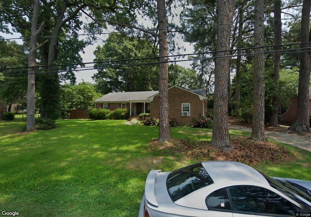
4217 Quince Rd Portsmouth, VA 23703
Churchland NeighborhoodEstimated Value: $303,053 - $372,000
3
Beds
2
Baths
1,850
Sq Ft
$186/Sq Ft
Est. Value
About This Home
This home is located at 4217 Quince Rd, Portsmouth, VA 23703 and is currently estimated at $343,263, approximately $185 per square foot. 4217 Quince Rd is a home located in Portsmouth City with nearby schools including Churchland Primary/Intermediate School, Churchland Middle School, and Churchland High School.
Ownership History
Date
Name
Owned For
Owner Type
Purchase Details
Closed on
Nov 24, 1999
Sold by
Torres Pedro J
Bought by
Msith Nathan H
Current Estimated Value
Home Financials for this Owner
Home Financials are based on the most recent Mortgage that was taken out on this home.
Original Mortgage
$105,050
Outstanding Balance
$31,792
Interest Rate
7.86%
Estimated Equity
$311,471
Create a Home Valuation Report for This Property
The Home Valuation Report is an in-depth analysis detailing your home's value as well as a comparison with similar homes in the area
Home Values in the Area
Average Home Value in this Area
Purchase History
| Date | Buyer | Sale Price | Title Company |
|---|---|---|---|
| Msith Nathan H | $103,000 | -- |
Source: Public Records
Mortgage History
| Date | Status | Borrower | Loan Amount |
|---|---|---|---|
| Open | Msith Nathan H | $105,050 |
Source: Public Records
Tax History Compared to Growth
Tax History
| Year | Tax Paid | Tax Assessment Tax Assessment Total Assessment is a certain percentage of the fair market value that is determined by local assessors to be the total taxable value of land and additions on the property. | Land | Improvement |
|---|---|---|---|---|
| 2025 | $3,738 | $295,980 | $96,000 | $199,980 |
| 2024 | $3,738 | $290,010 | $96,000 | $194,010 |
| 2023 | $3,401 | $272,100 | $96,000 | $176,100 |
| 2022 | $3,271 | $251,620 | $80,000 | $171,620 |
| 2021 | $2,798 | $215,240 | $64,510 | $150,730 |
| 2020 | $2,758 | $212,170 | $61,440 | $150,730 |
| 2019 | $2,739 | $210,680 | $61,440 | $149,240 |
| 2018 | $2,739 | $210,680 | $61,440 | $149,240 |
| 2017 | $2,739 | $210,680 | $61,440 | $149,240 |
| 2016 | $2,739 | $210,680 | $61,440 | $149,240 |
| 2015 | $2,739 | $210,680 | $61,440 | $149,240 |
| 2014 | $2,676 | $210,680 | $61,440 | $149,240 |
Source: Public Records
Map
Nearby Homes
- 4200 Quince Rd
- 4224 Burnham Dr
- 4232 Summerset Dr
- 4028 Swannanoa Dr
- 5833 Hawthorne Ln
- 5728 Hawthorne Ln
- 5807 Dunkin St
- 4100 Mayfair Way
- 21 Windy Pines Crescent
- 5606 Gregory Ct
- 3433 Willow Breeze Dr
- 4444 Southampton Arch
- 8 Compass Ct
- 17 Shoal Ct
- 4008 Oakhurst Rd
- 5693 Rivermill Cir
- 3866 Augustine Cir
- 3860 Sugar Creek Cir
- 4071 Long Point Blvd
- 4619 River Shore Rd
- 4221 Quince Rd
- 4213 Quince Rd
- 4212 Burnham Dr
- 4216 Quince Rd
- 4225 Quince Rd
- 4209 Quince Rd
- 4220 Quince Rd
- 4212 Quince Rd
- 4220 Burnham Dr
- 4208 Burnham Dr
- 4208 Quince Rd
- 4205 Quince Rd
- 4229 Quince Rd
- 4224 Quince Rd
- 4204 Burnham Dr
- 4228 Burnham Dr
- 4204 Quince Rd
- 4217 Burnham Dr
- 4213 Burnham Dr
- 4241 Twin Pines Rd