4217 S 22nd Rd South Range, WI 54874
Estimated Value: $195,000 - $327,000
--
Bed
--
Bath
--
Sq Ft
40
Acres
About This Home
This home is located at 4217 S 22nd Rd, South Range, WI 54874 and is currently estimated at $259,963. 4217 S 22nd Rd is a home located in Douglas County with nearby schools including Northwestern High School.
Ownership History
Date
Name
Owned For
Owner Type
Purchase Details
Closed on
Oct 4, 2019
Sold by
Hill Wade F
Bought by
Hill Tonia M
Current Estimated Value
Purchase Details
Closed on
Nov 30, 2017
Sold by
Kylaya Investments Llc
Bought by
Rgg One Llc
Purchase Details
Closed on
Sep 27, 2013
Sold by
Red Sparrow Llc
Bought by
Kylaya Investments Llc
Purchase Details
Closed on
Apr 24, 2006
Sold by
Johnson Jonathan C
Bought by
Hill Wade F and Hill Tonia M
Purchase Details
Closed on
Dec 16, 2005
Sold by
Johnson Jonathan
Bought by
Hill Wade and Hill Tonia
Create a Home Valuation Report for This Property
The Home Valuation Report is an in-depth analysis detailing your home's value as well as a comparison with similar homes in the area
Home Values in the Area
Average Home Value in this Area
Purchase History
| Date | Buyer | Sale Price | Title Company |
|---|---|---|---|
| Hill Tonia M | $111,300 | -- | |
| Rgg One Llc | $149,000 | -- | |
| Kylaya Investments Llc | $114,900 | -- | |
| Hill Wade F | $268,250 | -- | |
| Hill Wade | $268,250 | -- |
Source: Public Records
Tax History Compared to Growth
Tax History
| Year | Tax Paid | Tax Assessment Tax Assessment Total Assessment is a certain percentage of the fair market value that is determined by local assessors to be the total taxable value of land and additions on the property. | Land | Improvement |
|---|---|---|---|---|
| 2024 | $2,108 | $110,400 | $18,700 | $91,700 |
| 2023 | $2,005 | $111,100 | $19,400 | $91,700 |
| 2022 | $1,804 | $111,500 | $19,800 | $91,700 |
| 2021 | $1,730 | $111,200 | $19,500 | $91,700 |
| 2020 | $1,829 | $111,100 | $19,400 | $91,700 |
| 2019 | $1,857 | $111,000 | $19,300 | $91,700 |
| 2018 | $2,019 | $110,800 | $19,100 | $91,700 |
| 2017 | $1,989 | $110,800 | $19,100 | $91,700 |
| 2016 | $1,981 | $110,800 | $19,100 | $91,700 |
| 2015 | $2,187 | $91,700 | $19,100 | $91,700 |
| 2014 | $2,187 | $130,400 | $23,900 | $106,500 |
| 2013 | $2,600 | $150,700 | $16,600 | $134,100 |
Source: Public Records
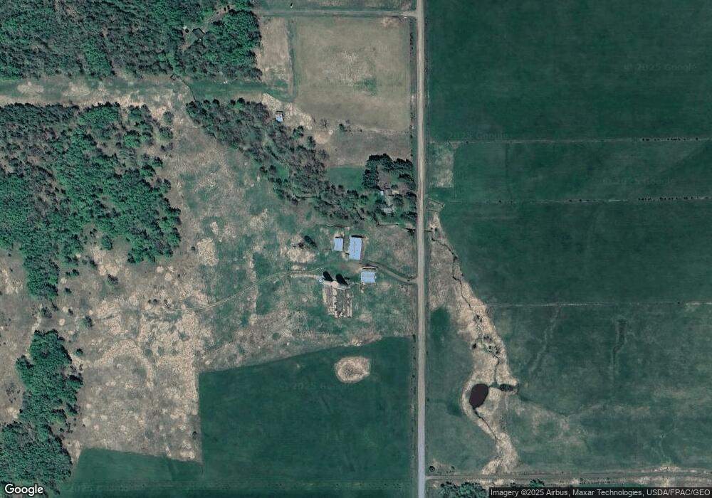
Map
Nearby Homes
- 3994 S County Road U
- 3968 S County Road U Unit (10) acres
- 9377 E Wood Lot 5 Rd
- 9377 E Wood Lot 1 Rd
- 9377 Wood Rd
- 9377 E Rd
- 9377 E Wood Lot 2 Rd
- 9377 E Rd
- 9476 E Elm Rd
- 9789 E Moonshine Rd
- 5400 County Road D
- 9480 State Highway 13
- 5243 Forest Rd
- 5210 S County Road D
- 56xx County Road P
- 10030 The Meadows Rd
- XXXX Middle River Rd
- 7195 E State Road 13
- 6866 E County Road Uu
- 7654 E County Road V
- 4191 S 22nd Rd
- 20 acres 22nd Rd
- 0 22nd Rd
- 3679 22nd Rd
- 4124 S 22nd Rd
- 4383 S 22nd Rd
- 42X0 22nd Rd
- 8672 E Spaulding Rd
- 8686 E Spaulding Rd
- 8506 E Spaulding Rd
- 8494 E Spaulding Rd
- 8546 E Spaulding Rd
- 8476 E Spaulding Rd
- 3999 S 22nd Rd
- 8460 E Spaulding Rd
- 8446 E Spaulding Rd
- 8446 E Spaulding Rd
- 8633 E Moonshine Rd
- 8681 E Moonshine Rd
- 8744 E Moonshine Rd