Estimated Value: $133,000 - $171,000
2
Beds
2
Baths
938
Sq Ft
$158/Sq Ft
Est. Value
About This Home
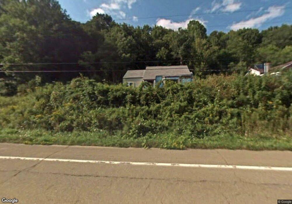
This home is located at 4217 State Route 17c, Owego, NY 13827 and is currently estimated at $148,451, approximately $158 per square foot. 4217 State Route 17c is a home with nearby schools including Apalachin Elementary School, Owego-Apalachin Middle School, and Owego Free Academy.
Ownership History
Date
Name
Owned For
Owner Type
Purchase Details
Closed on
Aug 26, 2020
Sold by
Heath Allen C and Heath Cynthia M
Bought by
Spencer Benjamin
Current Estimated Value
Home Financials for this Owner
Home Financials are based on the most recent Mortgage that was taken out on this home.
Original Mortgage
$92,700
Outstanding Balance
$82,265
Interest Rate
2.9%
Mortgage Type
Stand Alone Refi Refinance Of Original Loan
Estimated Equity
$66,186
Purchase Details
Closed on
Sep 24, 1999
Create a Home Valuation Report for This Property
The Home Valuation Report is an in-depth analysis detailing your home's value as well as a comparison with similar homes in the area
Home Values in the Area
Average Home Value in this Area
Purchase History
| Date | Buyer | Sale Price | Title Company |
|---|---|---|---|
| Spencer Benjamin | $92,700 | None Available | |
| Spencer Benjamin | $92,700 | None Available | |
| -- | $15,000 | -- |
Source: Public Records
Mortgage History
| Date | Status | Borrower | Loan Amount |
|---|---|---|---|
| Open | Spencer Benjamin | $92,700 | |
| Closed | Spencer Benjamin | $92,700 |
Source: Public Records
Tax History Compared to Growth
Tax History
| Year | Tax Paid | Tax Assessment Tax Assessment Total Assessment is a certain percentage of the fair market value that is determined by local assessors to be the total taxable value of land and additions on the property. | Land | Improvement |
|---|---|---|---|---|
| 2024 | $681 | $13,400 | $6,600 | $6,800 |
| 2023 | $7 | $13,400 | $6,600 | $6,800 |
| 2022 | $684 | $13,400 | $6,600 | $6,800 |
| 2021 | $674 | $13,400 | $6,600 | $6,800 |
| 2020 | $662 | $13,400 | $6,600 | $6,800 |
| 2019 | $378 | $13,400 | $6,600 | $6,800 |
| 2018 | $633 | $13,400 | $6,600 | $6,800 |
| 2017 | $619 | $13,400 | $6,600 | $6,800 |
| 2016 | $611 | $13,400 | $6,600 | $6,800 |
| 2015 | -- | $13,400 | $6,600 | $6,800 |
| 2014 | -- | $13,400 | $6,600 | $6,800 |
Source: Public Records
Map
Nearby Homes
- 1442 Marshland Rd
- 2686 Marshland Rd
- 2912 New York 17c
- 5531 State Route 17c
- 1003 Tilbury Hill Rd
- 2744 State Route 17c
- 3543 Bornt Hill Rd
- 93 Tilbury Hill Rd
- 3 Lincolnshire Blvd
- 945 Forest Hill Rd
- 63 Holmes Rd Unit 65
- 0 New York 434
- 00 New York 434
- 6995 New York 17c
- 68 Degroat Rd
- 00 Sunnyside Dr S
- 0 Sunnyside Dr S
- 0 Nuel Ct Unit 327444
- 797 Lisle Rd
- 1761 N Cafferty Hill Rd
- 4195 State Route 17c
- 4235 State Route 17c
- 4269 State Route 17c
- 4287 State Route 17c
- 4287 New York 17c
- 4119 New York 17c
- 4419 State Route 17c
- 4455 State Route 17c
- 4455 New York 17c
- 1777 Marshland Rd
- 1801 Marshland Rd
- 30 Sawyer Dr
- 1655 Marshland Rd
- 1746 Marshland Rd
- 1855 Marshland Rd
- 4573 State Route 17c
- 1646 Marshland Rd
- 60 Sawyer Dr
- 1911 Marshland Rd
- 1872 Marshland Rd