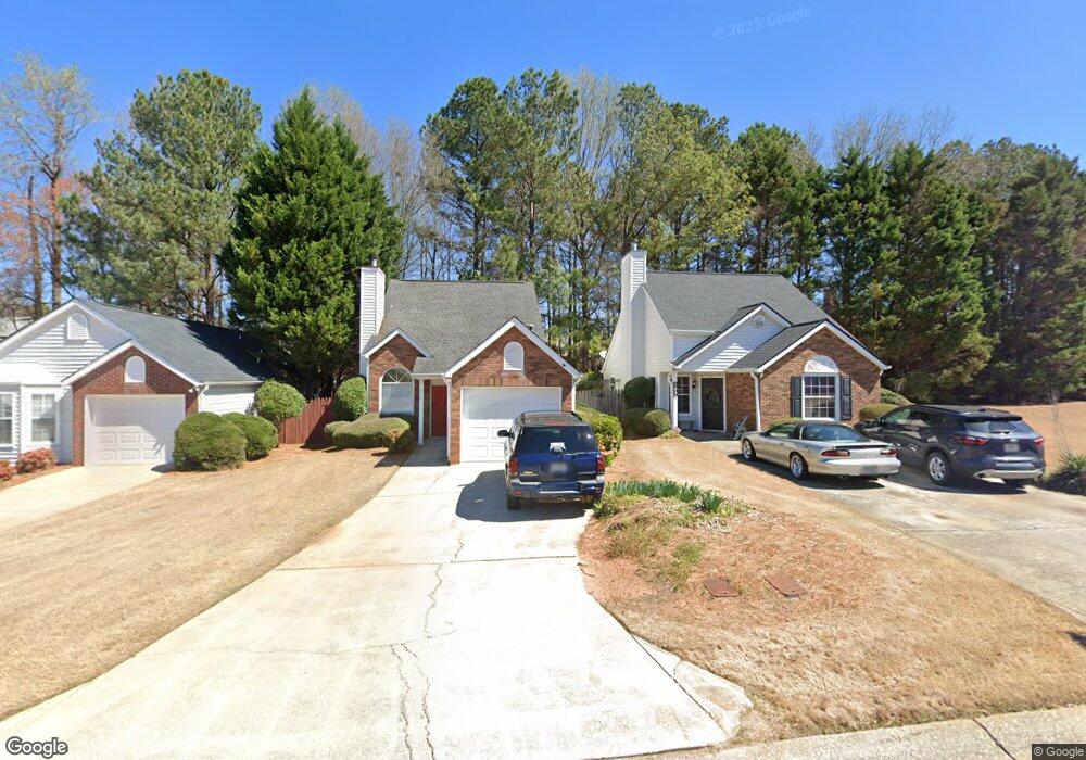
4217 Tenneyson Ln Unit 2 Austell, GA 30106
Estimated Value: $250,604 - $262,000
2
Beds
2
Baths
1,019
Sq Ft
$253/Sq Ft
Est. Value
About This Home
This home is located at 4217 Tenneyson Ln Unit 2, Austell, GA 30106 and is currently estimated at $257,651, approximately $252 per square foot. 4217 Tenneyson Ln Unit 2 is a home located in Cobb County with nearby schools including Deerwood Elementary School, Clarkdale Elementary School, and Garrett Middle School.
Ownership History
Date
Name
Owned For
Owner Type
Purchase Details
Closed on
Jan 27, 1994
Sold by
Columbia Homes
Bought by
Wills James A Melissa
Current Estimated Value
Home Financials for this Owner
Home Financials are based on the most recent Mortgage that was taken out on this home.
Original Mortgage
$70,450
Interest Rate
7.1%
Create a Home Valuation Report for This Property
The Home Valuation Report is an in-depth analysis detailing your home's value as well as a comparison with similar homes in the area
Home Values in the Area
Average Home Value in this Area
Purchase History
| Date | Buyer | Sale Price | Title Company |
|---|---|---|---|
| Wills James A Melissa | $72,700 | -- |
Source: Public Records
Mortgage History
| Date | Status | Borrower | Loan Amount |
|---|---|---|---|
| Closed | Wills James A Melissa | $70,450 |
Source: Public Records
Tax History Compared to Growth
Tax History
| Year | Tax Paid | Tax Assessment Tax Assessment Total Assessment is a certain percentage of the fair market value that is determined by local assessors to be the total taxable value of land and additions on the property. | Land | Improvement |
|---|---|---|---|---|
| 2025 | $2,102 | $98,372 | $20,000 | $78,372 |
| 2024 | $2,104 | $98,372 | $20,000 | $78,372 |
| 2023 | $1,561 | $98,372 | $20,000 | $78,372 |
| 2022 | $1,399 | $65,384 | $9,600 | $55,784 |
| 2021 | $1,198 | $56,208 | $9,600 | $46,608 |
| 2020 | $1,017 | $47,936 | $9,600 | $38,336 |
| 2019 | $1,017 | $47,936 | $9,600 | $38,336 |
| 2018 | $974 | $45,956 | $8,000 | $37,956 |
| 2017 | $643 | $32,144 | $8,000 | $24,144 |
| 2016 | $585 | $29,428 | $9,600 | $19,828 |
| 2015 | $600 | $29,428 | $9,600 | $19,828 |
| 2014 | $351 | $20,644 | $0 | $0 |
Source: Public Records
Map
Nearby Homes
- 4287 Keats Ct
- 4192 Rhinehart Dr
- 2013 Chesley Dr
- 4420 Pink Rose Ct
- 2085 Lenoa Ln
- 2300 Anderson Mill Rd
- 2083 Lenoa Ln
- 2081 Lenoa Ln
- 2034 Drennon Ave
- 2072 Mcduffie Rd
- 2402 Greenside Ct
- 4349 Kousa Rd Unit 4
- 2110 Plum Ln
- 4470 Austell Rd
- 2163 Willow Ln
- 2473 Greenside Ct
- 2373 Buckley Ct
- 2539 Dogwood Hills Ct
- 4219 Tenneyson Ln
- 4221 Tenneyson Ln
- 4223 Tenneyson Ln
- 4225 Tenneyson Ln
- 4240 Tenneyson Ln Unit 2
- 4230 Tenneyson Ln
- 4228 Tenneyson Ln Unit 2
- 4226 Tenneyson Ln Unit 2
- 4224 Tenneyson Ln
- 4227 Tenneyson Ln
- 4242 Tenneyson Ln
- 4222 Tenneyson Ln
- 4222 Tenneyson Ln
- 4232 Tenneyson Ln
- 4238 Tenneyson Ln Unit 2
- 4236 Tenneyson Ln Unit 2
- 4229 Tenneyson Ln
- 4234 Tenneyson Ln Unit 2
- 4220 Tenneyson Ln Unit 2
- 4244 Tenneyson Ln