4218 Ferguson Dr Doylestown, PA 18902
Plumstead NeighborhoodEstimated Value: $855,034 - $1,144,000
4
Beds
4
Baths
3,512
Sq Ft
$275/Sq Ft
Est. Value
About This Home
This home is located at 4218 Ferguson Dr, Doylestown, PA 18902 and is currently estimated at $964,259, approximately $274 per square foot. 4218 Ferguson Dr is a home located in Bucks County with nearby schools including Gayman Elementary School, Tohickon Middle School, and Central Bucks High School - East.
Ownership History
Date
Name
Owned For
Owner Type
Purchase Details
Closed on
Oct 6, 2011
Sold by
Ferguson Hill Associates L P
Bought by
Gerstberger Matthew and Gerstberger Ashlynne C
Current Estimated Value
Home Financials for this Owner
Home Financials are based on the most recent Mortgage that was taken out on this home.
Original Mortgage
$555,750
Outstanding Balance
$381,774
Interest Rate
4.25%
Mortgage Type
New Conventional
Estimated Equity
$582,485
Create a Home Valuation Report for This Property
The Home Valuation Report is an in-depth analysis detailing your home's value as well as a comparison with similar homes in the area
Home Values in the Area
Average Home Value in this Area
Purchase History
| Date | Buyer | Sale Price | Title Company |
|---|---|---|---|
| Gerstberger Matthew | $585,000 | None Available |
Source: Public Records
Mortgage History
| Date | Status | Borrower | Loan Amount |
|---|---|---|---|
| Open | Gerstberger Matthew | $555,750 |
Source: Public Records
Tax History Compared to Growth
Tax History
| Year | Tax Paid | Tax Assessment Tax Assessment Total Assessment is a certain percentage of the fair market value that is determined by local assessors to be the total taxable value of land and additions on the property. | Land | Improvement |
|---|---|---|---|---|
| 2025 | $9,108 | $52,420 | $5,420 | $47,000 |
| 2024 | $9,108 | $52,420 | $5,420 | $47,000 |
| 2023 | $8,819 | $52,420 | $5,420 | $47,000 |
| 2022 | $8,720 | $52,420 | $5,420 | $47,000 |
| 2021 | $8,623 | $52,420 | $5,420 | $47,000 |
| 2020 | $8,623 | $52,420 | $5,420 | $47,000 |
| 2019 | $8,570 | $52,420 | $5,420 | $47,000 |
| 2018 | $8,570 | $52,420 | $5,420 | $47,000 |
| 2017 | $8,452 | $52,420 | $5,420 | $47,000 |
| 2016 | $8,452 | $52,420 | $5,420 | $47,000 |
| 2015 | -- | $52,420 | $5,420 | $47,000 |
| 2014 | -- | $52,420 | $5,420 | $47,000 |
Source: Public Records
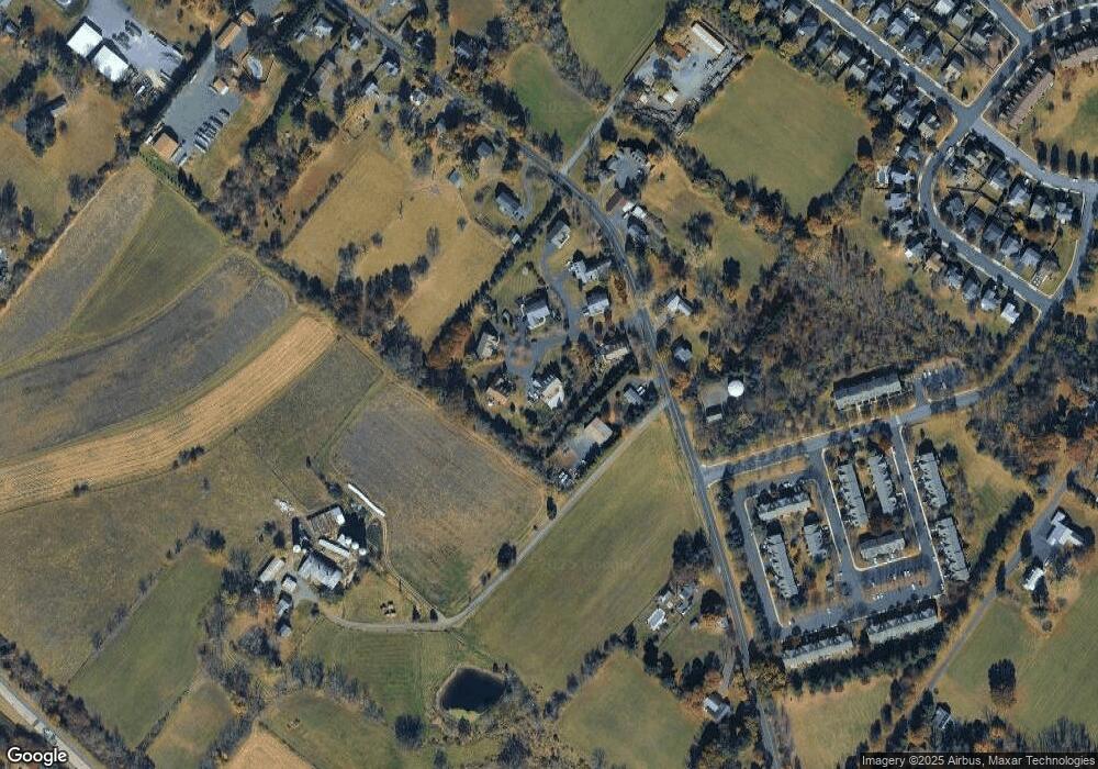
Map
Nearby Homes
- 4263 Kleinot Dr
- 4330 Kleinot Dr
- 4317 Kleinot Dr
- 4464 Kleinot Dr
- 4246 Kleinot Dr
- 4306 Kleinot Dr
- 4298 Kleinot Dr
- 3923 Ferry Rd
- 4748 Bishop Cir
- 3838 Jacob Stout Rd
- 3765 William Daves Rd
- 4221 Sir Andrew Cir
- 4190 Milords Ln
- 3723 William Daves Rd
- 3711 Jacob Stout Rd Unit 5
- 114 Blackfriars Cir
- 100 Bishops Gate Ln Unit 67
- 4964 Point Pleasant Pike
- 194 Victoria Ct Unit 143
- 301 Windy Run Rd
- 4650 Old Easton Rd
- 4212 Ferguson Dr
- 4230 Ferguson Dr
- 4215 Ferguson Dr
- 4217 Ferguson Dr
- 4225 Ferguson Dr
- 0 Signature Dr
- 4682 Old Easton Rd
- 4223 Ferguson Dr
- 4665 Old Easton Rd
- 4221 Ferguson Dr
- 4724 Old Easton Rd
- 4689 Old Easton Rd
- 4022 Redbud Cir
- 4612 Old Easton Rd
- 4701 Old Easton Rd
- 4020 Redbud Cir
- 4736 Old Easton Rd
- 4154 Signature Ln
- 4026 Redbud Cir