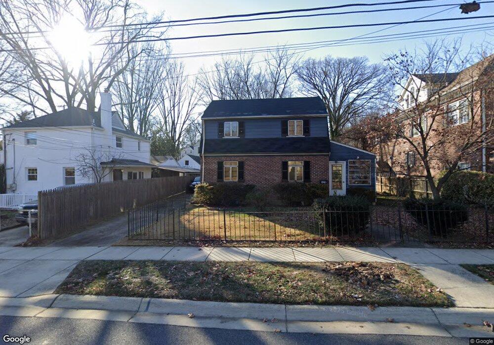
4218 Sleaford Rd Bethesda, MD 20814
West Chevy Chase Heights NeighborhoodEstimated Value: $917,000 - $1,060,000
--
Bed
1
Bath
1,144
Sq Ft
$864/Sq Ft
Est. Value
About This Home
This home is located at 4218 Sleaford Rd, Bethesda, MD 20814 and is currently estimated at $988,073, approximately $863 per square foot. 4218 Sleaford Rd is a home located in Montgomery County with nearby schools including Hoover School, Hughes Elementary School, and Somerset Elementary School.
Ownership History
Date
Name
Owned For
Owner Type
Purchase Details
Closed on
Aug 6, 2008
Sold by
Tyson Lois
Bought by
Tyson William S
Current Estimated Value
Home Financials for this Owner
Home Financials are based on the most recent Mortgage that was taken out on this home.
Original Mortgage
$285,000
Outstanding Balance
$187,695
Interest Rate
6.4%
Mortgage Type
Purchase Money Mortgage
Estimated Equity
$800,378
Purchase Details
Closed on
Jul 29, 2008
Sold by
Tyson Lois
Bought by
Tyson William S
Home Financials for this Owner
Home Financials are based on the most recent Mortgage that was taken out on this home.
Original Mortgage
$285,000
Outstanding Balance
$187,695
Interest Rate
6.4%
Mortgage Type
Purchase Money Mortgage
Estimated Equity
$800,378
Purchase Details
Closed on
Oct 5, 1999
Sold by
Tyson Charles M
Bought by
Tyson Lois
Purchase Details
Closed on
Jan 16, 1996
Sold by
Tyson Lois F
Bought by
Tyson Charles M
Create a Home Valuation Report for This Property
The Home Valuation Report is an in-depth analysis detailing your home's value as well as a comparison with similar homes in the area
Home Values in the Area
Average Home Value in this Area
Purchase History
| Date | Buyer | Sale Price | Title Company |
|---|---|---|---|
| Tyson William S | -- | -- | |
| Tyson William S | -- | -- | |
| Tyson Lois | -- | -- | |
| Tyson Charles M | -- | -- |
Source: Public Records
Mortgage History
| Date | Status | Borrower | Loan Amount |
|---|---|---|---|
| Open | Tyson William S | $285,000 | |
| Closed | Tyson William S | $285,000 |
Source: Public Records
Tax History Compared to Growth
Tax History
| Year | Tax Paid | Tax Assessment Tax Assessment Total Assessment is a certain percentage of the fair market value that is determined by local assessors to be the total taxable value of land and additions on the property. | Land | Improvement |
|---|---|---|---|---|
| 2025 | $10,055 | $869,000 | $609,600 | $259,400 |
| 2024 | $10,055 | $817,867 | $0 | $0 |
| 2023 | $8,761 | $766,733 | $0 | $0 |
| 2022 | $7,778 | $715,600 | $554,200 | $161,400 |
| 2021 | $7,634 | $713,300 | $0 | $0 |
| 2020 | $7,634 | $711,000 | $0 | $0 |
| 2019 | $7,574 | $708,700 | $503,800 | $204,900 |
| 2018 | $7,262 | $682,067 | $0 | $0 |
| 2017 | $7,088 | $655,433 | $0 | $0 |
| 2016 | $5,978 | $628,800 | $0 | $0 |
| 2015 | $5,978 | $613,000 | $0 | $0 |
| 2014 | $5,978 | $597,200 | $0 | $0 |
Source: Public Records
Map
Nearby Homes
- 4242 East-West Hwy Unit 605
- 4242 E West Hwy Unit 417
- 4242 E West Hwy Unit 618
- 4242 E West Hwy Unit 406
- 4242 E West Hwy Unit 714
- 4242 E West Hwy Unit 307
- 4242 E West Hwy Unit 514
- 4242 E West Hwy Unit 414
- 7923 Chelton Rd
- 4213 Leland St
- 4106 Aspen St
- 3921 Aspen St
- 4535 Avondale St
- 3902 Aspen St
- 3910 Underwood St
- 4801 Fairmont Ave Unit 705
- 4601 S Chelsea Ln
- 4706 Rosedale Ave
- 7200 Connecticut Ave
- 7710 Woodmont Ave Unit 911
- 4300 Lynbrook Dr
- 4301 Kentbury Dr
- 4305 Kentbury Dr
- 4304 Lynbrook Dr
- 4307 Kentbury Dr
- 4221 Sleaford Rd
- 7900 Kentbury Dr
- 4309 Kentbury Dr
- 4308 Lynbrook Dr
- 4223 Sleaford Rd
- 4302 Kentbury Dr
- 4311 Kentbury Dr
- 4300 Kentbury Dr
- 4304 Kentbury Dr
- 4225 Sleaford Rd
- 7902 Kentbury Dr
- 4306 Kentbury Dr
- 4303 Lynbrook Dr
- 4313 Kentbury Dr
- 4310 Lynbrook Dr