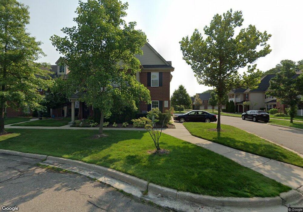
4219 Berkeley Ave Canton, MI 48188
Estimated Value: $232,035 - $250,000
Studio
1
Bath
1,410
Sq Ft
$170/Sq Ft
Est. Value
About This Home
This home is located at 4219 Berkeley Ave, Canton, MI 48188 and is currently estimated at $240,009, approximately $170 per square foot. 4219 Berkeley Ave is a home located in Wayne County with nearby schools including Rawsonville Elementary School, Owen Intermediate School, and McBride Middle School.
Ownership History
Date
Name
Owned For
Owner Type
Purchase Details
Closed on
Dec 10, 2019
Sold by
Congdon Brenda
Bought by
Singer Jennifer
Current Estimated Value
Home Financials for this Owner
Home Financials are based on the most recent Mortgage that was taken out on this home.
Original Mortgage
$139,500
Outstanding Balance
$122,989
Interest Rate
3.6%
Mortgage Type
New Conventional
Estimated Equity
$117,020
Purchase Details
Closed on
Apr 24, 2015
Sold by
Irelan Nicole J and Kunec Nicole J
Bought by
Congdon Brenda
Purchase Details
Closed on
Feb 18, 2003
Sold by
Selective Delaware Llc
Bought by
Kunec Nicole J
Purchase Details
Closed on
Jul 17, 2002
Sold by
Selective Delaware Llc
Bought by
Centex Homes
Create a Home Valuation Report for This Property
The Home Valuation Report is an in-depth analysis detailing your home's value as well as a comparison with similar homes in the area
Home Values in the Area
Average Home Value in this Area
Purchase History
| Date | Buyer | Sale Price | Title Company |
|---|---|---|---|
| Singer Jennifer | $155,000 | Liberty Title | |
| Congdon Brenda | $121,500 | None Available | |
| Kunec Nicole J | -- | American Titleworks | |
| Centex Homes | -- | Lawyers Title Ins |
Source: Public Records
Mortgage History
| Date | Status | Borrower | Loan Amount |
|---|---|---|---|
| Open | Singer Jennifer | $139,500 |
Source: Public Records
Tax History
| Year | Tax Paid | Tax Assessment Tax Assessment Total Assessment is a certain percentage of the fair market value that is determined by local assessors to be the total taxable value of land and additions on the property. | Land | Improvement |
|---|---|---|---|---|
| 2025 | $1,446 | $107,900 | $0 | $0 |
| 2024 | $1,406 | $99,700 | $0 | $0 |
| 2023 | $1,341 | $88,600 | $0 | $0 |
| 2022 | $3,292 | $78,900 | $0 | $0 |
| 2021 | $3,196 | $76,900 | $0 | $0 |
| 2020 | $3,154 | $73,900 | $0 | $0 |
| 2019 | $4,103 | $71,420 | $0 | $0 |
| 2018 | $2,193 | $66,220 | $0 | $0 |
| 2017 | $3,379 | $64,100 | $0 | $0 |
| 2016 | $2,652 | $64,700 | $0 | $0 |
| 2015 | $3,688 | $57,720 | $0 | $0 |
| 2013 | $3,573 | $37,230 | $0 | $0 |
| 2010 | -- | $42,890 | $25,000 | $17,890 |
Source: Public Records
Map
Nearby Homes
- 47628 Ormskirk Dr
- 47624 Pembroke Dr
- 47544 Pembroke Dr
- 4015 Norwich Dr Unit 14
- 4041 Radcliff Dr
- 4148 Elizabeth Ave
- 4055 Berkeley Ave Unit 54
- 47861 Cardiff Ave Unit 95
- 3663 Shepherd Ln Unit 43
- 4186 Coronet Ave
- 4191 Cornerstone Dr Unit 200
- 4428 Bridgeview Ln
- 4016 Cornerstone Dr Unit 131
- 3956 Cornerstone Dr Unit 568
- 3928 Cornerstone Dr Unit 566
- 48474 Bridge Way Unit 569
- 48480 Bridge Way Unit 570
- 48486 Bridge Way Unit 560
- 48492 Bridge Way Unit 559
- 48504 Bridge Way Unit 562
- 47623 Pembroke Dr
- 47480 Pembroke Dr
- 47448 Pembroke Dr
- 3902 Norwich Dr Unit 36
- 3942 Norwich Dr
- 3983 Norwich Dr
- 3991 Norwich Dr
- 4006 Norwich Dr
- 47472 Pembroke Dr Unit 58
- 47667 Ormskirk Dr
- 4074 Radcliff Dr
- 4089 Radcliff Dr
- 47660 Ormskirk Dr
- 47869 Cardiff Ave Unit 88
- 4081 Radcliff Dr
- 3946 Radcliff Dr
- 47631 Pembroke Dr Unit 94
- 47568 Pembroke Dr Unit 83
- 47808 Pembroke Dr
- 47680 Pembroke Dr
Your Personal Tour Guide
Ask me questions while you tour the home.