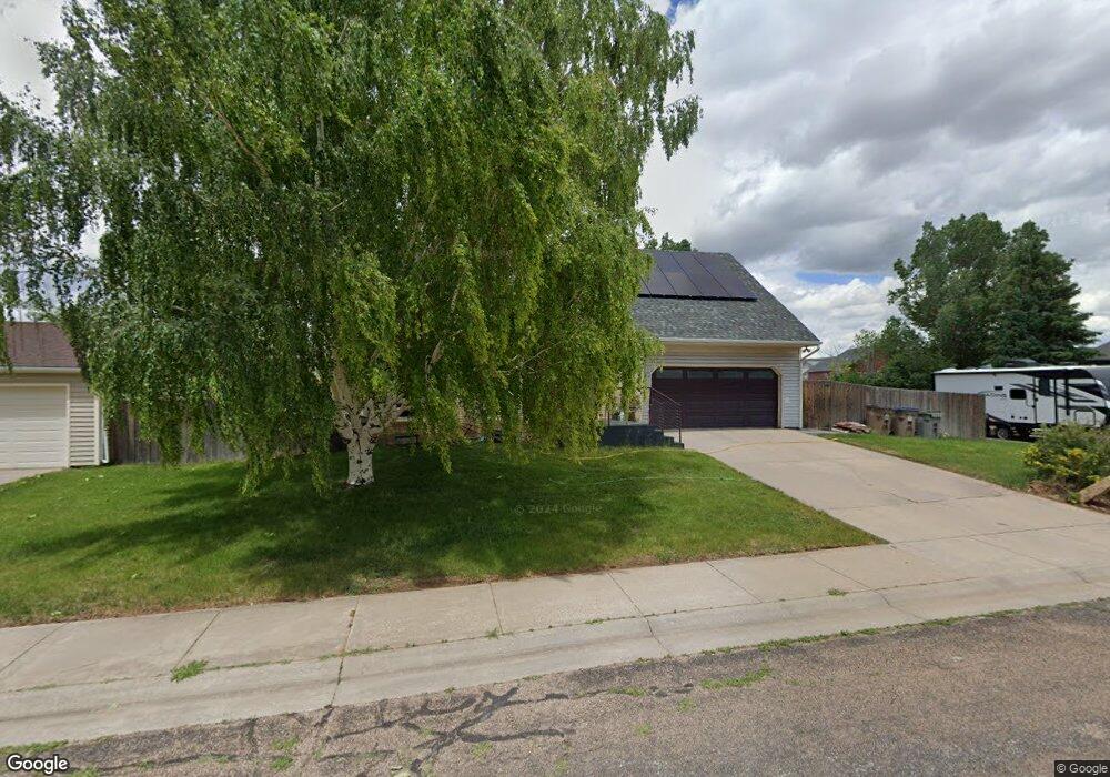
4219 Navajo Dr Laramie, WY 82072
Estimated Value: $383,000 - $445,000
3
Beds
2
Baths
1,592
Sq Ft
$261/Sq Ft
Est. Value
About This Home
This home is located at 4219 Navajo Dr, Laramie, WY 82072 and is currently estimated at $415,409, approximately $260 per square foot. 4219 Navajo Dr is a home located in Albany County with nearby schools including Indian Paintbrush Elementary School, Laramie Middle School, and Laramie High School.
Ownership History
Date
Name
Owned For
Owner Type
Purchase Details
Closed on
Jul 7, 2025
Sold by
Forrest Blake Randall and Richardson Linda
Bought by
Blake Randall Forrest and Richardson Blake Linda
Current Estimated Value
Create a Home Valuation Report for This Property
The Home Valuation Report is an in-depth analysis detailing your home's value as well as a comparison with similar homes in the area
Home Values in the Area
Average Home Value in this Area
Purchase History
| Date | Buyer | Sale Price | Title Company |
|---|---|---|---|
| Blake Randall Forrest | -- | None Listed On Document |
Source: Public Records
Tax History Compared to Growth
Tax History
| Year | Tax Paid | Tax Assessment Tax Assessment Total Assessment is a certain percentage of the fair market value that is determined by local assessors to be the total taxable value of land and additions on the property. | Land | Improvement |
|---|---|---|---|---|
| 2025 | $2,628 | $18,717 | $2,508 | $16,209 |
| 2024 | $2,628 | $35,994 | $4,824 | $31,170 |
| 2023 | $2,586 | $35,425 | $4,824 | $30,601 |
| 2022 | $2,382 | $32,636 | $4,824 | $27,812 |
| 2021 | $2,198 | $30,103 | $4,638 | $25,465 |
| 2020 | $2,101 | $28,779 | $4,638 | $24,141 |
| 2019 | $1,956 | $26,798 | $4,638 | $22,160 |
| 2018 | $1,935 | $26,513 | $4,638 | $21,875 |
| 2017 | $1,839 | $25,193 | $3,792 | $21,401 |
| 2016 | $1,700 | $23,289 | $3,792 | $19,497 |
| 2015 | $1,681 | $23,026 | $3,792 | $19,234 |
| 2014 | $1,652 | $22,635 | $0 | $0 |
Source: Public Records
Map
Nearby Homes
- 1050 N Indian Hills Dr
- 4421 Shoshone Dr
- 4324 Pueblo Dr
- 4106 Kiowa Dr
- 4341 E Crow Dr
- 4420 E Grays Gable Rd
- 3734 Reynolds St
- 1651 Fox Ridge Rd
- TBD Hayford Ave
- 1772 Eaglecrest Ct
- 1071 Duna Dr
- 1062 Bonita Dr
- 2919 Plains St
- 2719 Nighthawk Dr
- 2611 Reynolds St Unit A
- 1766 N 23rd St
- 2130 Edward Dr
- 2122 E Curtis St
- 1554 Henry Dr
- 1501 Arabian Dr
- 1454 Dakota Dr
- 4215 Navajo Dr
- 4303 Navajo Dr
- 1456 Dakota Dr
- 4222 Navajo Dr
- 4216 Navajo Dr
- 4302 Navajo Dr
- 4209 Navajo Dr
- 4212 Navajo Dr
- 4307 Navajo Dr
- 1460 Dakota Dr
- 4306 Navajo Dr
- 4210 Navajo Dr
- 4308 Chippewa Dr
- 4311 Navajo Dr
- 4311 Cheyenne Dr
- 4307 Cheyenne Dr
- 4203 Navajo Dr
- 4310 Navajo Dr
- 4315 Cheyenne Dr