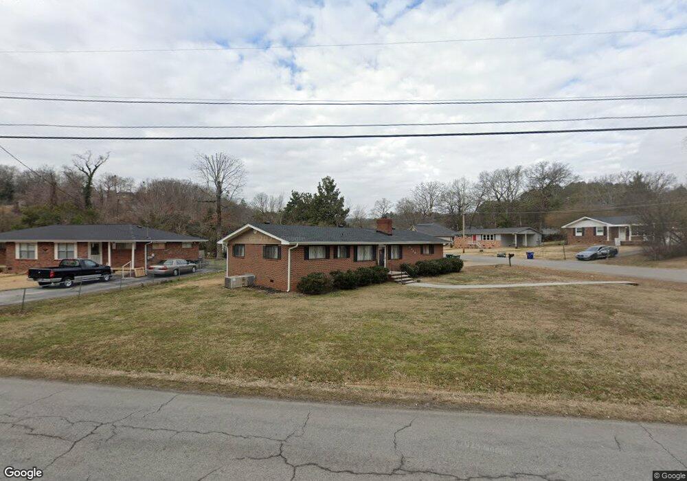
4219 Norcross Rd Hixson, TN 37343
Lupton City NeighborhoodEstimated Value: $290,453 - $298,000
3
Beds
2
Baths
1,400
Sq Ft
$211/Sq Ft
Est. Value
About This Home
This home is located at 4219 Norcross Rd, Hixson, TN 37343 and is currently estimated at $295,363, approximately $210 per square foot. 4219 Norcross Rd is a home located in Hamilton County with nearby schools including DuPont Elementary School, Red Bank Middle School, and Red Bank High School.
Ownership History
Date
Name
Owned For
Owner Type
Purchase Details
Closed on
Feb 27, 2001
Sold by
Keith Brenda J and Payne Brenda J
Bought by
Payne Gary E and Payne Candrice A
Current Estimated Value
Home Financials for this Owner
Home Financials are based on the most recent Mortgage that was taken out on this home.
Original Mortgage
$88,200
Interest Rate
7.06%
Mortgage Type
Purchase Money Mortgage
Create a Home Valuation Report for This Property
The Home Valuation Report is an in-depth analysis detailing your home's value as well as a comparison with similar homes in the area
Home Values in the Area
Average Home Value in this Area
Purchase History
We collect this data history from publicly available records. To have your information removed, we recommend requesting removal directly through your county’s website.
| Date | Buyer | Sale Price | Title Company |
|---|---|---|---|
| Payne Gary E | $86,000 | First Title |
Source: Public Records
Mortgage History
We collect this data history from publicly available records. To have your information removed, we recommend requesting removal directly through your county’s website.
| Date | Status | Borrower | Loan Amount |
|---|---|---|---|
| Closed | Payne Gary E | $88,200 |
Source: Public Records
Tax History
| Year | Tax Paid | Tax Assessment Tax Assessment Total Assessment is a certain percentage of the fair market value that is determined by local assessors to be the total taxable value of land and additions on the property. | Land | Improvement |
|---|---|---|---|---|
| 2025 | $1,169 | $77,100 | $0 | $0 |
| 2024 | $903 | $40,350 | $0 | $0 |
| 2023 | $903 | $40,350 | $0 | $0 |
| 2022 | $903 | $40,350 | $0 | $0 |
| 2021 | $903 | $40,350 | $0 | $0 |
| 2020 | $835 | $30,200 | $0 | $0 |
| 2019 | $835 | $30,200 | $0 | $0 |
| 2018 | $814 | $30,200 | $0 | $0 |
| 2017 | $835 | $30,200 | $0 | $0 |
| 2016 | $749 | $0 | $0 | $0 |
| 2015 | $1,489 | $27,075 | $0 | $0 |
| 2014 | $1,489 | $0 | $0 | $0 |
Source: Public Records
Map
Nearby Homes
- 1324 Easy Ln
- 949 Brynwood Dr
- 4105 Forest Plaza Dr
- 1325 Highland Rd
- 4323 Norcross Rd
- 1315 Northgate Cir
- 961 Ashland Terrace
- 4103 Highwood Dr Unit 1
- 4407 Comet Trail
- 4413 Comet Trail
- 946 Sherry Cir
- 1434 Williams Rd
- 1512 Ely Rd
- 3925 Forest Highland Dr
- 936 Sherry Cir
- 4609 Plaza Hills Ln
- 3909 Forest Highland Dr
- 2624 Hixson Pike
- 3944 Azalean Dr
- 3931 Birmingham Dr
- 4217 Norcross Rd
- 1338 Highland Way
- 1339 Highland Way
- 4225 Norcross Rd
- 1337 Highland Way
- 1335 Highland Way
- 4209 Norcross Rd
- 1336 Highland Way
- 4214 Norcross Rd
- 4239 Norcross Rd
- 1333 Highland Way
- 1338 Ely Rd
- 1011 Brynwood Dr
- 963 Brynwood Dr
- 963 Brynwood Dr Unit B
- 963 Brynwood Dr Unit 1 A (RIGHT)
- 0 Joni Cir Unit 1366192
- 0 Joni Cir Unit 1200633
- 0 Joni Cir Unit RTC2325183
- 0 Joni Cir Unit 1258895
Your Personal Tour Guide
Ask me questions while you tour the home.