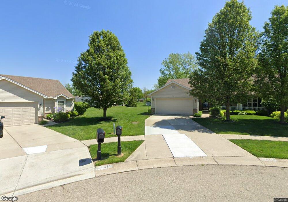
4219 Pheasant Ct Unit 4219 Dayton, OH 45424
Estimated Value: $146,000 - $189,371
3
Beds
2
Baths
1,268
Sq Ft
$139/Sq Ft
Est. Value
About This Home
This home is located at 4219 Pheasant Ct Unit 4219, Dayton, OH 45424 and is currently estimated at $176,093, approximately $138 per square foot. 4219 Pheasant Ct Unit 4219 is a home located in Montgomery County with nearby schools including Wayne High School and Pathway School of Discovery.
Ownership History
Date
Name
Owned For
Owner Type
Purchase Details
Closed on
Jul 17, 2020
Sold by
Webster Addie
Bought by
Gibson Johh S
Current Estimated Value
Home Financials for this Owner
Home Financials are based on the most recent Mortgage that was taken out on this home.
Original Mortgage
$113,050
Outstanding Balance
$99,868
Interest Rate
2.9%
Mortgage Type
New Conventional
Estimated Equity
$76,225
Purchase Details
Closed on
Sep 3, 2004
Sold by
Crossmann Communities Of Ohio Inc
Bought by
Webster Addie
Home Financials for this Owner
Home Financials are based on the most recent Mortgage that was taken out on this home.
Original Mortgage
$109,163
Interest Rate
6.17%
Mortgage Type
VA
Create a Home Valuation Report for This Property
The Home Valuation Report is an in-depth analysis detailing your home's value as well as a comparison with similar homes in the area
Home Values in the Area
Average Home Value in this Area
Purchase History
| Date | Buyer | Sale Price | Title Company |
|---|---|---|---|
| Gibson Johh S | $119,000 | First American Mortgage Sln | |
| Webster Addie | $119,200 | None Available |
Source: Public Records
Mortgage History
| Date | Status | Borrower | Loan Amount |
|---|---|---|---|
| Open | Gibson Johh S | $113,050 | |
| Previous Owner | Webster Addie | $109,163 |
Source: Public Records
Tax History Compared to Growth
Tax History
| Year | Tax Paid | Tax Assessment Tax Assessment Total Assessment is a certain percentage of the fair market value that is determined by local assessors to be the total taxable value of land and additions on the property. | Land | Improvement |
|---|---|---|---|---|
| 2024 | $2,286 | $44,430 | $8,260 | $36,170 |
| 2023 | $2,286 | $44,430 | $8,260 | $36,170 |
| 2022 | $2,401 | $36,720 | $6,830 | $29,890 |
| 2021 | $2,487 | $36,720 | $6,830 | $29,890 |
| 2020 | $1,859 | $36,720 | $6,830 | $29,890 |
| 2019 | $1,426 | $27,640 | $5,250 | $22,390 |
| 2018 | $1,431 | $27,640 | $5,250 | $22,390 |
| 2017 | $1,400 | $27,640 | $5,250 | $22,390 |
| 2016 | $1,532 | $28,920 | $5,250 | $23,670 |
| 2015 | $1,512 | $28,920 | $5,250 | $23,670 |
| 2014 | $1,512 | $28,920 | $5,250 | $23,670 |
| 2012 | -- | $33,930 | $8,390 | $25,540 |
Source: Public Records
Map
Nearby Homes
- 4209 Pheasant Ct Unit 4211
- 4646 Wayne Meadows Cir Unit 4640
- 4640 Wayne Meadows Cir
- 5720 Old Troy Pike
- 4407 Nowak Ave
- 4470 Mahler Dr
- 4390 Longfellow Ave
- 4608 Nowak Ave
- 4440 Longfellow Ave
- 5230 Monitor Dr
- 5433 Pentland Cir
- 4955 Pennswood Dr
- 4568 Fishburg Rd
- 5784 Pennywell Dr
- 5365 Mariner Dr
- 5660 Tomberg St
- 4488 Northern Cir
- 4756 Rittenhouse Dr
- 4309 Kitridge Rd
- 5848 Tomberg St
- 4221 Pheasant Ct Unit 4221
- 4211 Pheasant Ct Unit 4209
- 4214 Pheasant Ct Unit 4214
- 4212 Pheasant Ct Unit 4212
- 4222 Bird Dog Ct Unit 4222
- 5257 Coco Dr
- 4224 Bird Dog Ct Unit 4224
- 4212 Bird Dog Ct Unit 4212
- 5261 Coco Dr Unit 11A
- 4210 Bird Dog Ct Unit 4210
- 4199 Pheasant Ct Unit 4199
- 4197 Pheasant Ct Unit 4197
- 4202 Pheasant Ct Unit 4202
- 5263 Coco Dr Unit 11B
- 4200 Bird Dog Ct Unit 4200
- 4200 Pheasant Ct Unit 4200
- 5255 Coco Dr
- 5271 Coco Dr Unit 12A
- 4232 Bird Dog Ct Unit 4232
- 4198 Bird Dog Ct Unit 4198