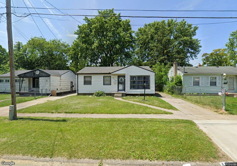
4219 Winona St Flint, MI 48504
Merill NeighborhoodEstimated Value: $41,000 - $60,000
3
Beds
2
Baths
955
Sq Ft
$57/Sq Ft
Est. Value
About This Home
This home is located at 4219 Winona St, Flint, MI 48504 and is currently estimated at $54,176, approximately $56 per square foot. 4219 Winona St is a home located in Genesee County with nearby schools including Brownell STEM Academy, Eagle's Nest Academy, and Greater Heights Academy.
Ownership History
Date
Name
Owned For
Owner Type
Purchase Details
Closed on
Dec 20, 2022
Sold by
Genesee County Treasurer
Bought by
Genesee County Land Bank Authority
Current Estimated Value
Purchase Details
Closed on
Feb 23, 2015
Sold by
King Anthony
Bought by
Winters Brenda and King Anthony
Purchase Details
Closed on
Jun 25, 2013
Sold by
Baker Robbie Ann
Bought by
King Anthony N
Purchase Details
Closed on
Mar 7, 2001
Sold by
Baker Robbie Ann
Bought by
Nationscredit Home Equity Services Corp
Create a Home Valuation Report for This Property
The Home Valuation Report is an in-depth analysis detailing your home's value as well as a comparison with similar homes in the area
Home Values in the Area
Average Home Value in this Area
Purchase History
| Date | Buyer | Sale Price | Title Company |
|---|---|---|---|
| Genesee County Land Bank Authority | -- | -- | |
| Winters Brenda | -- | Tt | |
| King Anthony N | -- | None Available | |
| Nationscredit Home Equity Services Corp | $23,150 | -- |
Source: Public Records
Tax History Compared to Growth
Tax History
| Year | Tax Paid | Tax Assessment Tax Assessment Total Assessment is a certain percentage of the fair market value that is determined by local assessors to be the total taxable value of land and additions on the property. | Land | Improvement |
|---|---|---|---|---|
| 2025 | $1,043 | $17,400 | $0 | $0 |
| 2024 | $943 | $14,600 | $0 | $0 |
| 2023 | -- | $0 | $0 | $0 |
| 2022 | $0 | $7,600 | $0 | $0 |
| 2021 | $658 | $7,200 | $0 | $0 |
| 2020 | $642 | $7,900 | $0 | $0 |
| 2019 | $1,319 | $8,800 | $0 | $0 |
| 2018 | $793 | $10,200 | $0 | $0 |
| 2017 | $1,038 | $0 | $0 | $0 |
| 2016 | $835 | $0 | $0 | $0 |
| 2015 | -- | $0 | $0 | $0 |
| 2014 | -- | $0 | $0 | $0 |
| 2012 | -- | $14,600 | $0 | $0 |
Source: Public Records
Map
Nearby Homes
- 4201 Winona St
- 2118 Santa Barbara Dr
- 3819 Brownell Blvd
- 3330 Maywood Dr
- 3617 Kellar Ave
- 1913 Cherrylawn Dr
- 3412 Comstock Ave
- 3084 Roanoke St
- 5106 Cloverlawn Dr
- 3420 Fleming Rd
- 1705 W Pasadena Ave
- 3145 Raywood St
- 3722 Sterling St
- 1621 Shamrock Ln
- 3802 Milbourne Ave
- 4006 Donnelly St
- 3513 Milbourne Ave
- 2907 Trumbull Ave
- 4515 Baldwin Blvd
- 1720 Marlowe Dr
- 4225 Winona St
- 4213 Winona St
- 4231 Winona St
- 4220 Kellar Ave
- 4207 Winona St
- 4226 Kellar Ave
- 4214 Kellar Ave
- 4232 Kellar Ave
- 4208 Kellar Ave
- 4220 Winona St
- 4214 Winona St
- 4226 Winona St
- 4235 Winona St
- 4232 Winona St
- 4208 Winona St
- 4202 Kellar Ave
- 2107 W Stewart Ave
- 4236 Kellar Ave
- 4236 Winona St
- 4202 Winona St