422 Anchors Way Unit 115 Saint Joseph, MI 49085
Estimated Value: $472,000 - $562,000
2
Beds
2
Baths
2,123
Sq Ft
$247/Sq Ft
Est. Value
About This Home
This home is located at 422 Anchors Way Unit 115, Saint Joseph, MI 49085 and is currently estimated at $525,198, approximately $247 per square foot. 422 Anchors Way Unit 115 is a home located in Berrien County with nearby schools including Upton Middle School, St. Joseph High School, and Benton Harbor Charter School Academy.
Ownership History
Date
Name
Owned For
Owner Type
Purchase Details
Closed on
Nov 29, 2013
Sold by
Coutant David E and Coutant Carrie
Bought by
Coutant David E and Coutant Carrie
Current Estimated Value
Purchase Details
Closed on
Jan 17, 2003
Sold by
Island Pointe Marina Llc
Bought by
Coutant David E and Coutant Carrie
Home Financials for this Owner
Home Financials are based on the most recent Mortgage that was taken out on this home.
Original Mortgage
$232,850
Interest Rate
6.01%
Mortgage Type
Construction
Create a Home Valuation Report for This Property
The Home Valuation Report is an in-depth analysis detailing your home's value as well as a comparison with similar homes in the area
Home Values in the Area
Average Home Value in this Area
Purchase History
| Date | Buyer | Sale Price | Title Company |
|---|---|---|---|
| Coutant David E | -- | Dfcu Title Agency Llc | |
| Coutant David E | $71,000 | Metropolitan Title Company |
Source: Public Records
Mortgage History
| Date | Status | Borrower | Loan Amount |
|---|---|---|---|
| Closed | Coutant David E | $232,850 |
Source: Public Records
Tax History Compared to Growth
Tax History
| Year | Tax Paid | Tax Assessment Tax Assessment Total Assessment is a certain percentage of the fair market value that is determined by local assessors to be the total taxable value of land and additions on the property. | Land | Improvement |
|---|---|---|---|---|
| 2025 | $10,430 | $286,500 | $0 | $0 |
| 2024 | $10,214 | $253,800 | $0 | $0 |
| 2023 | $9,970 | $225,200 | $0 | $0 |
| 2022 | $9,513 | $197,800 | $0 | $0 |
| 2021 | $9,189 | $204,400 | $42,500 | $161,900 |
| 2020 | $9,063 | $202,900 | $0 | $0 |
| 2019 | $8,963 | $183,200 | $41,000 | $142,200 |
| 2018 | $8,794 | $183,200 | $0 | $0 |
| 2017 | $8,086 | $181,300 | $0 | $0 |
| 2016 | $8,086 | $172,200 | $0 | $0 |
| 2015 | $8,011 | $170,400 | $0 | $0 |
| 2014 | $7,715 | $168,400 | $0 | $0 |
Source: Public Records
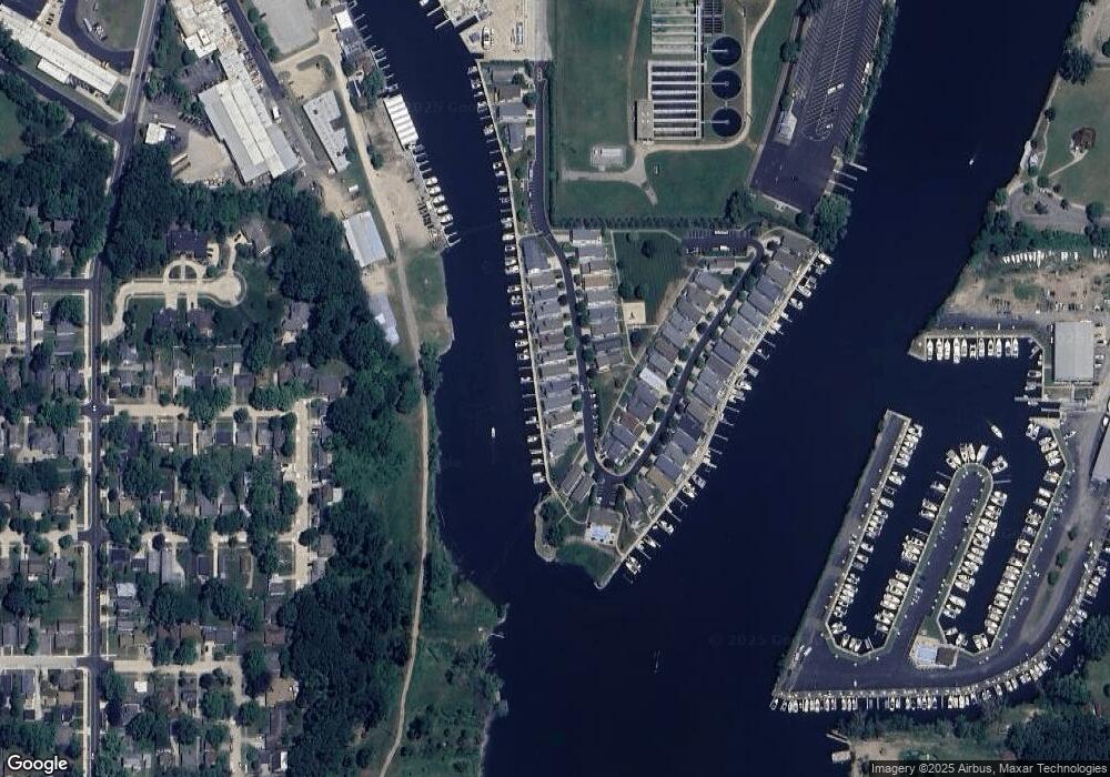
Map
Nearby Homes
- 398 Anchors Way Unit 87s
- 398 Anchors Way Unit 82s
- 1000 Riverview Dr Unit 11
- 1311 Wolcott Ave
- 1405 Manley Ct
- 1221 Broad St Unit 3
- 1210 Guernsey Ct
- 389 Parker Ave
- 377 Parker Ave
- 1004 Harrison Ave
- 298 W Empire Ave
- 0 Wayne St Unit 25003159
- 912 Market St
- 1008 Wayne St
- 205 Wayne St
- 197 Wayne St
- 379 Western Ave
- 144 Mariners Cove
- 617 Elm St
- 800 Whitwam Dr Unit Slip 22
- 420 Anchors Way Unit 112
- 424 Anchors Way
- 418 Anchors Way Unit 110
- 426 Anchors Way
- 414 Anchors Way Unit 107
- 417 Anchors Way Unit 90
- 428 Anchors Way Unit 123
- 412 Anchors Way
- 415 Anchors Way Unit 125
- 413 Anchors Way
- 410 Anchors Way
- 430 Island Pointe Dr Unit 122
- 432 Island Pointe Dr Unit 113
- 428 Island Pointe Dr Unit 111
- 428 Island Pointe Dr
- 431 Anchors Way
- 426 Island Pointe Dr
- 411 Anchors Way Unit 56
- 408 Anchors Way Unit 102
- 424 Island Pointe Dr Unit 156