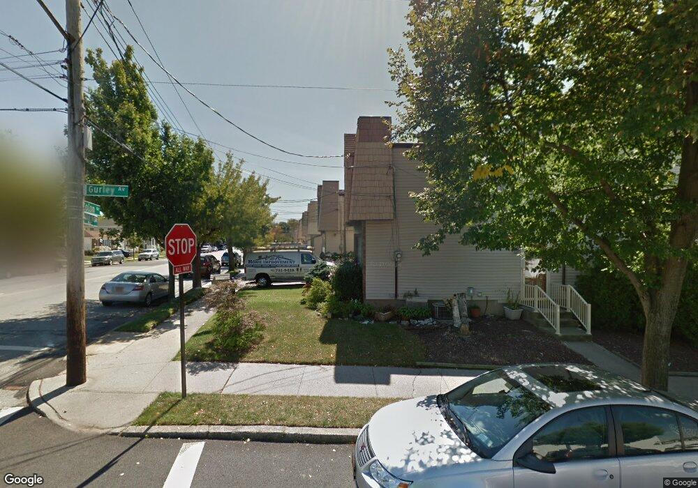
422 Colon Ave Staten Island, NY 10308
Great Kills NeighborhoodEstimated Value: $613,930 - $715,000
--
Bed
4
Baths
1,092
Sq Ft
$597/Sq Ft
Est. Value
About This Home
This home is located at 422 Colon Ave, Staten Island, NY 10308 and is currently estimated at $651,983, approximately $597 per square foot. 422 Colon Ave is a home located in Richmond County with nearby schools including P.S. 32 The Gifford School, I.S. 075 Frank D. Paulo, and Susan E Wagner High School.
Ownership History
Date
Name
Owned For
Owner Type
Purchase Details
Closed on
May 3, 2017
Sold by
John J Cleary
Bought by
Toth Thomas and Toth Kimberly
Current Estimated Value
Home Financials for this Owner
Home Financials are based on the most recent Mortgage that was taken out on this home.
Original Mortgage
$117,000
Outstanding Balance
$97,113
Interest Rate
4.03%
Estimated Equity
$554,870
Create a Home Valuation Report for This Property
The Home Valuation Report is an in-depth analysis detailing your home's value as well as a comparison with similar homes in the area
Home Values in the Area
Average Home Value in this Area
Purchase History
| Date | Buyer | Sale Price | Title Company |
|---|---|---|---|
| Toth Thomas | -- | -- |
Source: Public Records
Mortgage History
| Date | Status | Borrower | Loan Amount |
|---|---|---|---|
| Open | Toth Thomas | $117,000 | |
| Closed | Toth Thomas | -- | |
| Previous Owner | Toth Thomas | $50,000 |
Source: Public Records
Tax History Compared to Growth
Tax History
| Year | Tax Paid | Tax Assessment Tax Assessment Total Assessment is a certain percentage of the fair market value that is determined by local assessors to be the total taxable value of land and additions on the property. | Land | Improvement |
|---|---|---|---|---|
| 2025 | $5,794 | $37,980 | $6,087 | $31,893 |
| 2024 | $5,794 | $35,700 | $6,109 | $29,591 |
| 2023 | $5,527 | $27,216 | $5,832 | $21,384 |
| 2022 | $5,399 | $31,020 | $7,560 | $23,460 |
| 2021 | $5,684 | $29,160 | $7,560 | $21,600 |
| 2020 | $5,394 | $31,140 | $7,560 | $23,580 |
| 2019 | $5,029 | $29,940 | $7,560 | $22,380 |
| 2018 | $4,623 | $22,680 | $6,350 | $16,330 |
| 2017 | $4,006 | $22,536 | $6,977 | $15,559 |
| 2016 | $3,905 | $22,510 | $6,834 | $15,676 |
| 2015 | $3,302 | $21,236 | $5,806 | $15,430 |
| 2014 | $3,302 | $20,034 | $5,993 | $14,041 |
Source: Public Records
Map
Nearby Homes
- 350 Brookfield Ave
- 379 Brookfield Ave
- 414 Elverton Ave
- 466 Doane Ave
- 72 Eric Ln
- 339 Abingdon Ave
- 26 E Brandis Ave
- 259 Brookfield Ave
- 345 Colon Ave
- 307 Abingdon Ave
- 87 Pemberton Ave
- 74 E Brandis Ave
- 919 Armstrong Ave
- 185 Brookfield Ave
- 248 Abingdon Ave
- 132 Elkhart St
- 924 Armstrong Ave Unit 2-3
- 271 Doane Ave
- 223 Abingdon Ave
- 420 Arthur Kill Rd
- 424 Colon Ave
- 418 Colon Ave
- 426 Colon Ave
- 416 Colon Ave
- 428 Colon Ave
- 414 Colon Ave
- 432 Colon Ave
- 412 Colon Ave
- 335 Brookfield Ave
- 337 Brookfield Ave
- 333 Brookfield Ave
- 434 Colon Ave
- 339 Brookfield Ave
- 410 Colon Ave
- 331 Brookfield Ave
- 341 Brookfield Ave
- 329 Brookfield Ave
- 436 Colon Ave
- 343 Brookfield Ave
- 408 Colon Ave