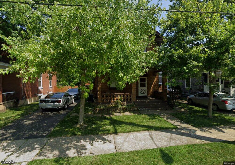
422 Dexter Ave Cincinnati, OH 45215
Estimated Value: $136,018 - $161,000
3
Beds
1
Bath
1,334
Sq Ft
$114/Sq Ft
Est. Value
About This Home
This home is located at 422 Dexter Ave, Cincinnati, OH 45215 and is currently estimated at $151,505, approximately $113 per square foot. 422 Dexter Ave is a home located in Hamilton County with nearby schools including Lockland Elementary School, Lockland Middle School, and Lockland High School.
Ownership History
Date
Name
Owned For
Owner Type
Purchase Details
Closed on
Jul 25, 2011
Sold by
Deborde Irene R
Bought by
Deborde Don W
Current Estimated Value
Home Financials for this Owner
Home Financials are based on the most recent Mortgage that was taken out on this home.
Original Mortgage
$20,000
Interest Rate
4.52%
Mortgage Type
New Conventional
Purchase Details
Closed on
Sep 11, 1998
Sold by
Hampton Cecil and Hampton Ernestine
Bought by
Deborde Irene R
Home Financials for this Owner
Home Financials are based on the most recent Mortgage that was taken out on this home.
Original Mortgage
$48,000
Interest Rate
6.98%
Create a Home Valuation Report for This Property
The Home Valuation Report is an in-depth analysis detailing your home's value as well as a comparison with similar homes in the area
Home Values in the Area
Average Home Value in this Area
Purchase History
| Date | Buyer | Sale Price | Title Company |
|---|---|---|---|
| Deborde Don W | $25,000 | Attorney | |
| Deborde Irene R | $67,900 | -- |
Source: Public Records
Mortgage History
| Date | Status | Borrower | Loan Amount |
|---|---|---|---|
| Closed | Deborde Don W | $20,000 | |
| Closed | Deborde Irene R | $48,000 |
Source: Public Records
Tax History
| Year | Tax Paid | Tax Assessment Tax Assessment Total Assessment is a certain percentage of the fair market value that is determined by local assessors to be the total taxable value of land and additions on the property. | Land | Improvement |
|---|---|---|---|---|
| 2025 | $722 | $23,171 | $3,462 | $19,709 |
| 2023 | $775 | $23,171 | $3,462 | $19,709 |
| 2022 | $756 | $19,681 | $3,042 | $16,639 |
| 2021 | $745 | $19,681 | $3,042 | $16,639 |
| 2020 | $1,182 | $19,681 | $3,042 | $16,639 |
| 2019 | $1,205 | $18,746 | $2,898 | $15,848 |
| 2018 | $1,186 | $18,746 | $2,898 | $15,848 |
| 2017 | $1,117 | $18,746 | $2,898 | $15,848 |
| 2016 | $1,231 | $21,123 | $2,961 | $18,162 |
| 2015 | $1,156 | $21,123 | $2,961 | $18,162 |
| 2014 | $1,155 | $21,123 | $2,961 | $18,162 |
| 2013 | $1,225 | $22,960 | $3,220 | $19,740 |
Source: Public Records
Map
Nearby Homes
- 415 Arlington Ave
- 321 Southern Ave
- 311 Southern Ave
- 653 Harmes Ave
- 334 Williams St
- 20 Clark Rd
- 129 Pike St
- 529 Elliott Ave
- 654 3rd St
- 329 Walnut St
- 217 W Wyoming Ave
- 1401 Jefferson Ave
- 0 Hill St Unit 1616370
- 1421 Jefferson Ave
- 310 E Vine St
- 2281 E Galbraith Rd
- 8338 Anthony Wayne Ave
- 701 W Wyoming Ave
- 1521 Hunt Rd
- 8421 Wiswell St
- 426 Dexter Ave
- 416 Dexter Ave
- 430 Dexter Ave
- 430 Dexter Ave Unit 432
- 432 Dexter Ave
- 410 Dexter Ave
- 434 Dexter Ave
- 419 Dexter Ave
- 425 Dexter Ave
- 417 Dexter Ave
- 436 Dexter Ave
- 436 Dexter Ave
- 436 Dexter Ave
- 436 Dexter Ave
- 406 Dexter Ave
- 433 Dexter Ave
- 405 Dexter Ave
- 507 Davis St
- 442 Dexter Ave
- 503 Davis St
Your Personal Tour Guide
Ask me questions while you tour the home.