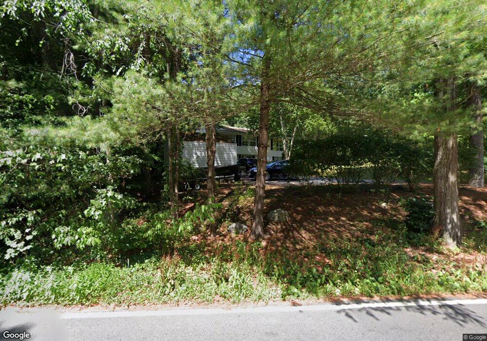
422 Fowler Rd Northbridge, MA 01534
Estimated Value: $415,000 - $445,000
3
Beds
1
Bath
970
Sq Ft
$450/Sq Ft
Est. Value
About This Home
This home is located at 422 Fowler Rd, Northbridge, MA 01534 and is currently estimated at $436,291, approximately $449 per square foot. 422 Fowler Rd is a home located in Worcester County with nearby schools including Northbridge Elementary School, Northbridge Middle School, and Northbridge High School.
Ownership History
Date
Name
Owned For
Owner Type
Purchase Details
Closed on
Jul 15, 2005
Sold by
Potter Donna M and Potter John G
Bought by
Depasquale Amy M and Depasquale Matthew
Current Estimated Value
Home Financials for this Owner
Home Financials are based on the most recent Mortgage that was taken out on this home.
Original Mortgage
$260,910
Outstanding Balance
$134,551
Interest Rate
5.67%
Mortgage Type
Purchase Money Mortgage
Estimated Equity
$301,740
Create a Home Valuation Report for This Property
The Home Valuation Report is an in-depth analysis detailing your home's value as well as a comparison with similar homes in the area
Home Values in the Area
Average Home Value in this Area
Purchase History
| Date | Buyer | Sale Price | Title Company |
|---|---|---|---|
| Depasquale Amy M | $289,900 | -- | |
| Depasquale Amy M | $289,900 | -- |
Source: Public Records
Mortgage History
| Date | Status | Borrower | Loan Amount |
|---|---|---|---|
| Open | Depasquale Amy M | $260,910 | |
| Closed | Depasquale Amy M | $260,910 | |
| Previous Owner | Depasquale Amy M | $105,000 | |
| Previous Owner | Depasquale Amy M | $77,000 |
Source: Public Records
Tax History Compared to Growth
Tax History
| Year | Tax Paid | Tax Assessment Tax Assessment Total Assessment is a certain percentage of the fair market value that is determined by local assessors to be the total taxable value of land and additions on the property. | Land | Improvement |
|---|---|---|---|---|
| 2025 | $4,095 | $347,300 | $157,600 | $189,700 |
| 2024 | $4,021 | $332,600 | $157,600 | $175,000 |
| 2023 | $4,248 | $327,800 | $157,600 | $170,200 |
| 2022 | $3,812 | $276,800 | $121,600 | $155,200 |
| 2021 | $3,007 | $252,200 | $115,900 | $136,300 |
| 2020 | $2,102 | $246,500 | $115,900 | $130,600 |
| 2019 | $3,104 | $239,300 | $115,900 | $123,400 |
| 2018 | $1,893 | $228,000 | $110,300 | $117,700 |
| 2017 | $2,968 | $219,400 | $110,300 | $109,100 |
| 2016 | $2,764 | $201,000 | $100,300 | $100,700 |
| 2015 | $2,689 | $201,000 | $100,300 | $100,700 |
| 2014 | $2,665 | $201,000 | $100,300 | $100,700 |
Source: Public Records
Map
Nearby Homes
- 557 Fowler Rd
- 369 Cooper Rd
- 151 Fowler Rd
- 119 Susanne Dr
- 135 Windstone Dr
- 1076 Hill St
- 1880 Providence Rd
- 79-81 Upton St
- 306 Rumonoski Dr
- 0 Puddon St
- 86 Kingsnorth St
- 1825 Quaker St
- 1540 Quaker St
- 192 Rebecca Rd
- 2767 Providence Rd
- 73 Plummer Ave
- 46 Rebecca Rd
- 86 Mikes Way Unit 86
- 84 Mikes Way Unit 84
- 150 Sprague St