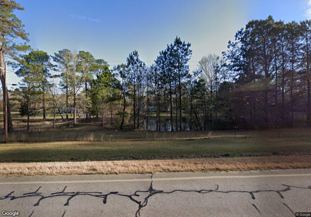
422 Ga Highway 17 N Millen, GA 30442
Estimated Value: $187,000 - $306,000
4
Beds
3
Baths
2,145
Sq Ft
$114/Sq Ft
Est. Value
About This Home
This home is located at 422 Ga Highway 17 N, Millen, GA 30442 and is currently estimated at $244,849, approximately $114 per square foot. 422 Ga Highway 17 N is a home located in Jenkins County with nearby schools including Jenkins County Elementary School, Jenkins County Middle School, and Jenkins County High School.
Ownership History
Date
Name
Owned For
Owner Type
Purchase Details
Closed on
Sep 16, 2021
Sold by
Morris Richard C
Bought by
Miller Courtney L and Burke William C
Current Estimated Value
Home Financials for this Owner
Home Financials are based on the most recent Mortgage that was taken out on this home.
Original Mortgage
$137,464
Outstanding Balance
$125,082
Interest Rate
2.8%
Mortgage Type
FHA
Estimated Equity
$119,767
Create a Home Valuation Report for This Property
The Home Valuation Report is an in-depth analysis detailing your home's value as well as a comparison with similar homes in the area
Home Values in the Area
Average Home Value in this Area
Purchase History
| Date | Buyer | Sale Price | Title Company |
|---|---|---|---|
| Miller Courtney L | $140,000 | -- |
Source: Public Records
Mortgage History
| Date | Status | Borrower | Loan Amount |
|---|---|---|---|
| Open | Miller Courtney L | $137,464 |
Source: Public Records
Tax History Compared to Growth
Tax History
| Year | Tax Paid | Tax Assessment Tax Assessment Total Assessment is a certain percentage of the fair market value that is determined by local assessors to be the total taxable value of land and additions on the property. | Land | Improvement |
|---|---|---|---|---|
| 2024 | $2,031 | $89,760 | $7,480 | $82,280 |
| 2023 | $1,912 | $77,560 | $7,480 | $70,080 |
| 2022 | $1,216 | $48,040 | $7,480 | $40,560 |
| 2021 | $1,194 | $48,040 | $7,480 | $40,560 |
| 2020 | $1,239 | $48,040 | $7,480 | $40,560 |
| 2019 | $1,506 | $53,455 | $4,604 | $48,851 |
| 2018 | $1,398 | $53,455 | $4,604 | $48,851 |
| 2017 | $1,371 | $50,135 | $4,604 | $45,531 |
| 2016 | $1,366 | $50,135 | $4,604 | $45,531 |
| 2015 | -- | $50,135 | $4,604 | $45,531 |
| 2014 | -- | $50,135 | $4,604 | $45,531 |
Source: Public Records
Map
Nearby Homes
- 121 Terri Dr
- 117 Gayle Dr
- 3058 Old Eighty Rd
- 1 Old Eighty Rd
- 349 Palmer Row
- 235 Johnson St
- 0 U S 25 Unit 546423
- 0 U S 25 Unit 519033
- 0 Hwy 25 N Unit 21649586
- HWY 25 U S 25
- 50.65 ACRES U S 25
- 9.75 acres U S 25
- 144 E Winthrope Ave
- 3023 Finch Rd
- 428 Riverview St
- 423 Richards Ave
- 623 Virginia Ave
- 606 Edenfield Ave
- 821 Harvey St
- 808 Harvey St
- 442 Ga Highway 17 N
- 452 Ga Highway 17 N
- 452 Ga Highway 17 N
- 456 Ga Highway 17 N
- 115 Edward Dr
- 112 Terri Dr
- 119 Lynda Dr
- 133 Edward Dr
- 110 Lynda Dr
- 128 Lynda Dr
- 0 Harriett Miller Rd Unit 8460575
- 0 Wallace Rd Unit 8442797
- 0 Dry Branch Church Rd Unit 55222
- 33.38 acre Oak Hill Church Rd
- 0 Guinea Ridge Ln Unit 8243225
- 0 Barefield Rd Unit 6 8233503
- 0 Old Savannah Hwy Unit 8228759
- 0 Mulkey Rd Unit 3213293
- 0 Mulkey Rd Unit 8020105
- 0 Hiltonia Rd Unit 10373522
