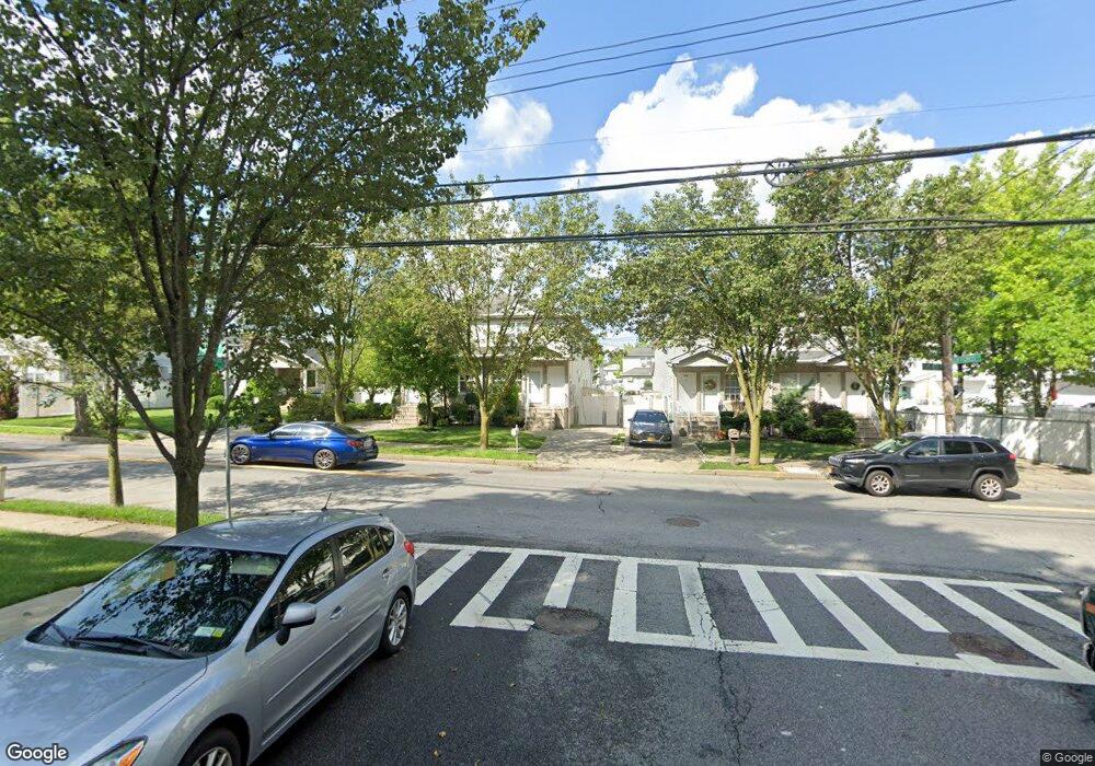
422 Giffords Ln Staten Island, NY 10308
Great Kills NeighborhoodEstimated Value: $700,591 - $1,005,000
--
Bed
--
Bath
1,700
Sq Ft
$511/Sq Ft
Est. Value
About This Home
This home is located at 422 Giffords Ln, Staten Island, NY 10308 and is currently estimated at $869,148, approximately $511 per square foot. 422 Giffords Ln is a home located in Richmond County with nearby schools including P.S. 32 The Gifford School, I.S. 075 Frank D. Paulo, and Susan E Wagner High School.
Ownership History
Date
Name
Owned For
Owner Type
Purchase Details
Closed on
Jun 24, 1999
Sold by
Rockland Ventures Ltd
Bought by
Lai Peter Chi Woo and Foo Jenny Weng Leng
Current Estimated Value
Home Financials for this Owner
Home Financials are based on the most recent Mortgage that was taken out on this home.
Original Mortgage
$202,900
Interest Rate
8.1%
Create a Home Valuation Report for This Property
The Home Valuation Report is an in-depth analysis detailing your home's value as well as a comparison with similar homes in the area
Home Values in the Area
Average Home Value in this Area
Purchase History
| Date | Buyer | Sale Price | Title Company |
|---|---|---|---|
| Lai Peter Chi Woo | $294,000 | First American Title Ins Co |
Source: Public Records
Mortgage History
| Date | Status | Borrower | Loan Amount |
|---|---|---|---|
| Previous Owner | Lai Peter Chi Woo | $202,900 |
Source: Public Records
Tax History Compared to Growth
Tax History
| Year | Tax Paid | Tax Assessment Tax Assessment Total Assessment is a certain percentage of the fair market value that is determined by local assessors to be the total taxable value of land and additions on the property. | Land | Improvement |
|---|---|---|---|---|
| 2025 | $3,508 | $56,340 | $6,899 | $49,441 |
| 2024 | $3,520 | $46,020 | $7,969 | $38,051 |
| 2023 | $3,547 | $37,728 | $7,886 | $29,842 |
| 2022 | $7,188 | $40,560 | $9,720 | $30,840 |
| 2021 | $7,131 | $37,560 | $9,720 | $27,840 |
| 2020 | $6,758 | $35,520 | $9,720 | $25,800 |
| 2019 | $6,284 | $31,440 | $9,720 | $21,720 |
| 2018 | $2,909 | $31,464 | $8,538 | $22,926 |
| 2017 | $2,893 | $31,320 | $9,720 | $21,600 |
| 2016 | $2,707 | $30,180 | $9,720 | $20,460 |
| 2015 | $1,503 | $28,556 | $7,489 | $21,067 |
| 2014 | $1,503 | $26,940 | $8,340 | $18,600 |
Source: Public Records
Map
Nearby Homes
- 87 Pemberton Ave
- 132 Elkhart St
- 72 Eric Ln
- 12 Lexington Ln
- 420 Arthur Kill Rd
- 466 Doane Ave
- 414 Elverton Ave
- 62 Daleham St
- 379 Brookfield Ave
- 12 Troy St
- 350 Brookfield Ave
- 38 Troy St
- 40 Troy St
- 259 Brookfield Ave
- 52 Barlow Ave
- 339 Abingdon Ave
- 47 Jumel St
- 305 Corbin Ave
- 98 Kennington St
- 160 Tanglewood Dr
- 426 Giffords Ln
- 420 Giffords Ln
- 428 Giffords Ln
- 416 Giffords Ln
- 408 Giffords Ln
- 20 Dorit Ct
- 16 Dorit Ct
- 24 Dorit Ct
- 89 Pemberton Ave
- 93 Pemberton Ave
- 14 Dorit Ct
- 83 Pemberton Ave
- 101 Pemberton Ave
- 406 Giffords Ln
- 81 Pemberton Ave
- 105 Pemberton Ave
- 181 Gurley Ave
- 179 Gurley Ave
- 154 Fairfield St
- 109 Pemberton Ave