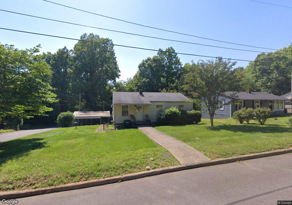
422 Hawthorne Dr Statesville, NC 28677
Estimated Value: $87,000 - $156,000
3
Beds
1
Bath
900
Sq Ft
$134/Sq Ft
Est. Value
About This Home
This home is located at 422 Hawthorne Dr, Statesville, NC 28677 and is currently estimated at $120,515, approximately $133 per square foot. 422 Hawthorne Dr is a home located in Iredell County with nearby schools including N.B. Mills Elementary School, West Iredell Middle School, and West Iredell High School.
Ownership History
Date
Name
Owned For
Owner Type
Purchase Details
Closed on
Jan 28, 2025
Sold by
Salerno Elizabeth
Bought by
Salerno Elizabeth and Salerno Maria Nancy
Current Estimated Value
Purchase Details
Closed on
Jan 18, 2025
Sold by
Pope Daniels Peggy
Bought by
Salerno Elizabeth
Purchase Details
Closed on
Jan 19, 2000
Sold by
Daniels Peggy Pope
Bought by
Daniels Peggy Pope and Salerno Elizabeth
Purchase Details
Closed on
Jun 1, 1972
Create a Home Valuation Report for This Property
The Home Valuation Report is an in-depth analysis detailing your home's value as well as a comparison with similar homes in the area
Home Values in the Area
Average Home Value in this Area
Purchase History
| Date | Buyer | Sale Price | Title Company |
|---|---|---|---|
| Salerno Elizabeth | -- | None Listed On Document | |
| Salerno Elizabeth | -- | None Listed On Document | |
| Salerno Elizabeth | -- | None Listed On Document | |
| Salerno Elizabeth | -- | None Listed On Document | |
| Daniels Peggy Pope | -- | -- | |
| -- | $9,500 | -- |
Source: Public Records
Tax History Compared to Growth
Tax History
| Year | Tax Paid | Tax Assessment Tax Assessment Total Assessment is a certain percentage of the fair market value that is determined by local assessors to be the total taxable value of land and additions on the property. | Land | Improvement |
|---|---|---|---|---|
| 2024 | $260 | $45,200 | $10,000 | $35,200 |
| 2023 | $520 | $45,200 | $10,000 | $35,200 |
| 2022 | $599 | $38,950 | $10,000 | $28,950 |
| 2021 | $599 | $38,950 | $10,000 | $28,950 |
| 2020 | $599 | $38,950 | $10,000 | $28,950 |
| 2019 | $297 | $38,950 | $10,000 | $28,950 |
| 2018 | $288 | $40,050 | $10,000 | $30,050 |
| 2017 | $284 | $40,050 | $10,000 | $30,050 |
| 2016 | $284 | $40,050 | $10,000 | $30,050 |
| 2015 | $214 | $40,050 | $10,000 | $30,050 |
| 2014 | -- | $43,460 | $10,000 | $33,460 |
Source: Public Records
Map
Nearby Homes
- 1713 Forest Dr
- 2321 Cline St
- 50 S Miller Ave Unit A
- 50 S Miller Ave Unit B
- 1716 Younger Ave
- 328 N Miller Ave
- 1709 Younger Ave
- 127 Bristol Rd
- 417 Central Dr
- 407 Central Dr
- 2607 Moss Rd
- 214 H St
- 3 Williams Ave
- 1309 Williams Rd
- 812 Candy Dr
- 818 Candy Dr
- 612 Stewart Ct
- Robie Plan at Bristol Terrace
- Penwell Plan at Bristol Terrace
- Hayden Plan at Bristol Terrace
- 416 Hawthorne Dr
- 412 Hawthorne Dr
- 2014 Walker St
- 2002 Newton Dr
- 1571 Walker St
- 2020 Newton Dr
- 1907 Newton Dr Unit L2-6 L1 21
- 503 Hawthorne Dr
- 320 Hawthorne Dr
- 511 Hawthorne Dr
- 316 Hawthorne Dr
- 2021 Newton Dr
- 515 Park Dr
- 2025 Newton Dr
- 517 Park Dr
- 329 Security Dr
- 2019 Cline St
- 2003 Cline St
- 525 Park Dr
- 2005 Cline St