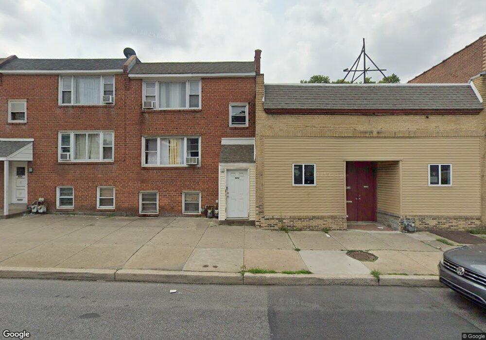
422 Long Ln Upper Darby, PA 19082
Estimated Value: $189,729 - $233,000
2
Beds
2
Baths
1,360
Sq Ft
$155/Sq Ft
Est. Value
About This Home
This home is located at 422 Long Ln, Upper Darby, PA 19082 and is currently estimated at $210,682, approximately $154 per square foot. 422 Long Ln is a home located in Delaware County with nearby schools including Upper Darby Kdg Center, Upper Darby High School, and Vision Academy Charter School.
Ownership History
Date
Name
Owned For
Owner Type
Purchase Details
Closed on
May 12, 2008
Sold by
Elem John
Bought by
Mahmud Mesbah
Current Estimated Value
Home Financials for this Owner
Home Financials are based on the most recent Mortgage that was taken out on this home.
Original Mortgage
$54,400
Interest Rate
5.46%
Mortgage Type
Purchase Money Mortgage
Purchase Details
Closed on
Aug 17, 2007
Sold by
Elem Real Estate Investment Corp
Bought by
Elem John
Purchase Details
Closed on
Jun 27, 2000
Sold by
Federal National Mortgage Association
Bought by
Elem Real Estate Inv Corp
Purchase Details
Closed on
May 22, 2000
Sold by
Unknown Heirs Of William K Leahy
Bought by
Federal National Mortgage Association
Create a Home Valuation Report for This Property
The Home Valuation Report is an in-depth analysis detailing your home's value as well as a comparison with similar homes in the area
Home Values in the Area
Average Home Value in this Area
Purchase History
| Date | Buyer | Sale Price | Title Company |
|---|---|---|---|
| Mahmud Mesbah | $68,000 | Commonwealth Land Title Insu | |
| Elem John | -- | None Available | |
| Elem Real Estate Inv Corp | $26,000 | T A Title Insurance Company | |
| Federal National Mortgage Association | -- | -- |
Source: Public Records
Mortgage History
| Date | Status | Borrower | Loan Amount |
|---|---|---|---|
| Closed | Mahmud Mesbah | $54,400 |
Source: Public Records
Tax History Compared to Growth
Tax History
| Year | Tax Paid | Tax Assessment Tax Assessment Total Assessment is a certain percentage of the fair market value that is determined by local assessors to be the total taxable value of land and additions on the property. | Land | Improvement |
|---|---|---|---|---|
| 2025 | $4,167 | $98,530 | $14,440 | $84,090 |
| 2024 | $4,167 | $98,530 | $14,440 | $84,090 |
| 2023 | $4,128 | $98,530 | $14,440 | $84,090 |
| 2022 | $4,017 | $98,530 | $14,440 | $84,090 |
| 2021 | $5,416 | $98,530 | $14,440 | $84,090 |
| 2020 | $3,070 | $47,460 | $13,130 | $34,330 |
| 2019 | $3,016 | $47,460 | $13,130 | $34,330 |
| 2018 | $2,981 | $47,460 | $0 | $0 |
| 2017 | $2,904 | $47,460 | $0 | $0 |
| 2016 | $260 | $47,460 | $0 | $0 |
| 2015 | $260 | $47,460 | $0 | $0 |
| 2014 | $260 | $53,210 | $0 | $0 |
Source: Public Records
Map
Nearby Homes
- 7139 Guilford Rd
- 655 Copley Rd
- 669 Long Ln
- 404 Croyden Rd
- 419 Gilpin Rd
- 607 Littlecroft Rd
- 7120 Clinton Rd
- 346 Long Ln
- 7162 Radbourne Rd
- 433 Copley Rd
- 426 Hampden Rd
- 432 Grace Rd
- 418 Hampden Rd
- 504 Woodcliffe Rd
- 92 Springton Rd
- 513 Woodcliffe Rd
- 6982 Clinton Rd
- 213 1/2 Melrose Ave
- 424 Woodcliffe Rd
- 577 Snowden Rd