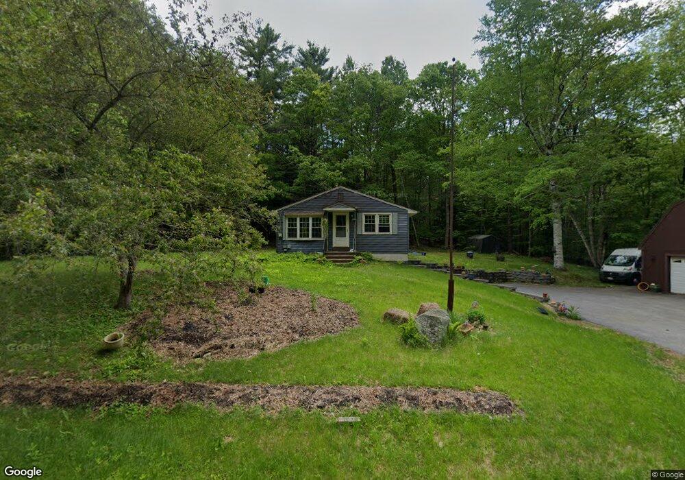
422 Maple St Farmingdale, ME 04344
Estimated Value: $256,752 - $369,000
5
Beds
2
Baths
1,740
Sq Ft
$191/Sq Ft
Est. Value
About This Home
This home is located at 422 Maple St, Farmingdale, ME 04344 and is currently estimated at $331,688, approximately $190 per square foot. 422 Maple St is a home located in Kennebec County with nearby schools including Hall-Dale Elementary School, Dresden Elementary School, and Marcia Buker School.
Ownership History
Date
Name
Owned For
Owner Type
Purchase Details
Closed on
Nov 19, 2024
Sold by
Betts Howard R Est and Betts
Bought by
Betts Miranda L
Current Estimated Value
Purchase Details
Closed on
Apr 4, 2011
Sold by
Smith Props T
Bought by
Betts Howard R
Home Financials for this Owner
Home Financials are based on the most recent Mortgage that was taken out on this home.
Original Mortgage
$112,400
Interest Rate
5.04%
Mortgage Type
Commercial
Create a Home Valuation Report for This Property
The Home Valuation Report is an in-depth analysis detailing your home's value as well as a comparison with similar homes in the area
Home Values in the Area
Average Home Value in this Area
Purchase History
| Date | Buyer | Sale Price | Title Company |
|---|---|---|---|
| Betts Miranda L | -- | None Available | |
| Betts Miranda L | -- | None Available | |
| Betts Howard R | -- | -- | |
| Betts Howard R | -- | -- |
Source: Public Records
Mortgage History
| Date | Status | Borrower | Loan Amount |
|---|---|---|---|
| Previous Owner | Betts Howard R | $112,400 |
Source: Public Records
Tax History Compared to Growth
Tax History
| Year | Tax Paid | Tax Assessment Tax Assessment Total Assessment is a certain percentage of the fair market value that is determined by local assessors to be the total taxable value of land and additions on the property. | Land | Improvement |
|---|---|---|---|---|
| 2024 | $3,250 | $135,400 | $28,300 | $107,100 |
| 2023 | $3,019 | $135,400 | $28,300 | $107,100 |
| 2022 | $2,776 | $135,400 | $28,300 | $107,100 |
| 2021 | $2,356 | $135,400 | $28,300 | $107,100 |
| 2020 | $2,370 | $135,400 | $28,300 | $107,100 |
| 2019 | $2,322 | $135,400 | $28,300 | $107,100 |
| 2018 | $2,207 | $135,400 | $28,300 | $107,100 |
| 2017 | $2,173 | $135,400 | $28,300 | $107,100 |
| 2016 | $2,078 | $135,400 | $28,300 | $107,100 |
| 2015 | $1,929 | $135,400 | $28,300 | $107,100 |
| 2014 | $1,896 | $135,400 | $28,300 | $107,100 |
| 2013 | $1,787 | $135,400 | $28,300 | $107,100 |
Source: Public Records
Map
Nearby Homes
- TBD Litchfield Rd
- 67 Littlefield Ln
- 26 Rutabeggar Ln
- 16 Meadowood Dr
- Lot 6 Meadowood Dr
- 14 Blt Dr
- 14 Blt Ln
- 955 Northern Ave
- Map7Lot2B Caldwell Rd
- Map7Lot2A Caldwell Rd
- 496 Litchfield Rd
- 55 Maple St
- 68 Mayflower Rd
- 85 Middle St Unit 10
- 81 Middle St
- 103 Central St
- 6 Grove St
- 4 Mayflower Rd
- 335 Water St
- 24 High St