422 Mountain Trace Dr Dahlonega, GA 30533
Estimated Value: $840,000 - $1,076,000
3
Beds
5
Baths
4,434
Sq Ft
$218/Sq Ft
Est. Value
About This Home
This home is located at 422 Mountain Trace Dr, Dahlonega, GA 30533 and is currently estimated at $966,702, approximately $218 per square foot. 422 Mountain Trace Dr is a home located in Lumpkin County with nearby schools including Clay County Middle School and Lumpkin County High School.
Ownership History
Date
Name
Owned For
Owner Type
Purchase Details
Closed on
Apr 22, 2005
Sold by
Magee Mark
Bought by
Magee Mark A and Magee Carol
Current Estimated Value
Purchase Details
Closed on
Jul 2, 2003
Sold by
Owens Valley Farm Lp
Bought by
Magee Mark and Magee Carol
Purchase Details
Closed on
Jun 21, 2002
Sold by
Owens Valley Farm Lp
Bought by
Magee Mark and Magee Carol
Purchase Details
Closed on
Apr 17, 1998
Bought by
Owens Valley Farm Lp
Create a Home Valuation Report for This Property
The Home Valuation Report is an in-depth analysis detailing your home's value as well as a comparison with similar homes in the area
Home Values in the Area
Average Home Value in this Area
Purchase History
| Date | Buyer | Sale Price | Title Company |
|---|---|---|---|
| Magee Mark A | -- | -- | |
| Magee Mark | -- | -- | |
| Magee Mark | $65,200 | -- | |
| Owens Valley Farm Lp | -- | -- |
Source: Public Records
Tax History Compared to Growth
Tax History
| Year | Tax Paid | Tax Assessment Tax Assessment Total Assessment is a certain percentage of the fair market value that is determined by local assessors to be the total taxable value of land and additions on the property. | Land | Improvement |
|---|---|---|---|---|
| 2024 | $4,396 | $262,129 | $12,000 | $250,129 |
| 2023 | $3,744 | $245,361 | $12,000 | $233,361 |
| 2022 | $4,145 | $231,371 | $12,000 | $219,371 |
| 2021 | $3,367 | $198,474 | $12,000 | $186,474 |
| 2020 | $3,374 | $194,833 | $12,000 | $182,833 |
| 2019 | $3,672 | $202,833 | $20,000 | $182,833 |
| 2018 | $3,416 | $188,181 | $28,395 | $159,786 |
| 2017 | $3,250 | $181,648 | $28,395 | $153,253 |
| 2016 | $6,466 | $172,551 | $28,395 | $144,156 |
| 2015 | $5,582 | $172,552 | $28,395 | $144,156 |
| 2014 | $5,582 | $174,153 | $28,395 | $145,758 |
| 2013 | -- | $173,879 | $26,520 | $147,359 |
Source: Public Records
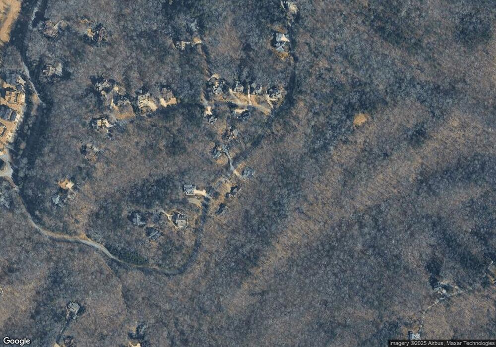
Map
Nearby Homes
- 1259 Birch River Dr
- 1364 Birch River Dr
- 133 Stamp Mill Dr
- 0 Stamp Mill Dr
- 176 Stamp Mill Ln
- 48 Kasten Run
- 134 Prospector Ridge
- 270 Prospector Ridge
- 1376 Robinson Rd
- 179 Golden Bear Pass
- 448 Golden Bear Pass
- 1113 Kiliahote Pass
- 245 Perkins Rd
- 205 Perkins Rd
- 201 Perkins Rd
- 2041 Long Branch Rd
- 2041 Long Branch Rd Unit TRACT 2A
- 72 Rustin Ridge Unit 276
- 42 Rustin Ridge Unit 285
- 532 Mountain Trace Dr
- 392 Mountain Trace Dr
- 419 Mountain Trace Dr
- 447 Mountain Trace Dr
- 370 Mountain Trace Dr
- 531 Mountain Trace Dr
- 95 Mountain Trace Dr
- 0 Mountain Trace Dr Unit 7008623
- 0 Mountain Trace Dr Unit 8572423
- 0 Mountain Trace Dr Unit 7583194
- 29 Placer Dr Unit 508
- 29 Placer Dr
- 369 Mountain Trace Dr
- 79 Mountain Trace Ln Unit 5
- 79 Mountain Trace Ln
- 189 Peace Valley Rd
- 79 Mountain Trace Ln Unit 531
- 79 Placer Dr Unit 509
- 79 Placer Dr
- 57 Mountain Trace Pointe