422 N River Rd Coventry, CT 06238
Estimated Value: $453,000 - $698,000
3
Beds
3
Baths
2,982
Sq Ft
$196/Sq Ft
Est. Value
About This Home
This home is located at 422 N River Rd, Coventry, CT 06238 and is currently estimated at $584,533, approximately $196 per square foot. 422 N River Rd is a home located in Tolland County with nearby schools including Coventry Grammar School, George Hersey Robertson School, and Capt. Nathan Hale School.
Ownership History
Date
Name
Owned For
Owner Type
Purchase Details
Closed on
Apr 10, 2020
Sold by
Grondin Brian R
Bought by
Grondin Brian R
Current Estimated Value
Home Financials for this Owner
Home Financials are based on the most recent Mortgage that was taken out on this home.
Original Mortgage
$195,360
Outstanding Balance
$172,737
Interest Rate
3.3%
Mortgage Type
FHA
Estimated Equity
$411,796
Purchase Details
Closed on
Mar 11, 2002
Sold by
Olson Lura
Bought by
Grondin Brian
Home Financials for this Owner
Home Financials are based on the most recent Mortgage that was taken out on this home.
Original Mortgage
$80,000
Interest Rate
7.01%
Create a Home Valuation Report for This Property
The Home Valuation Report is an in-depth analysis detailing your home's value as well as a comparison with similar homes in the area
Home Values in the Area
Average Home Value in this Area
Purchase History
| Date | Buyer | Sale Price | Title Company |
|---|---|---|---|
| Grondin Brian R | -- | None Available | |
| Grondin Brian R | -- | None Available | |
| Grondin Brian | $75,000 | -- |
Source: Public Records
Mortgage History
| Date | Status | Borrower | Loan Amount |
|---|---|---|---|
| Open | Grondin Brian R | $195,360 | |
| Closed | Grondin Brian R | $195,360 | |
| Previous Owner | Grondin Brian | $80,000 |
Source: Public Records
Tax History
| Year | Tax Paid | Tax Assessment Tax Assessment Total Assessment is a certain percentage of the fair market value that is determined by local assessors to be the total taxable value of land and additions on the property. | Land | Improvement |
|---|---|---|---|---|
| 2025 | $9,780 | $411,600 | $81,300 | $330,300 |
| 2024 | $9,350 | $280,700 | $69,900 | $210,800 |
| 2023 | $8,383 | $264,100 | $69,900 | $194,200 |
| 2022 | $8,227 | $264,100 | $69,900 | $194,200 |
| 2021 | $8,227 | $264,100 | $69,900 | $194,200 |
| 2020 | $4,248 | $136,300 | $69,900 | $66,400 |
| 2019 | $4,382 | $136,100 | $69,900 | $66,200 |
| 2018 | $4,598 | $142,800 | $69,900 | $72,900 |
| 2017 | $4,570 | $142,800 | $69,900 | $72,900 |
| 2016 | $4,455 | $142,800 | $69,900 | $72,900 |
| 2015 | $4,455 | $142,800 | $69,900 | $72,900 |
| 2014 | $4,954 | $174,000 | $87,000 | $87,000 |
Source: Public Records
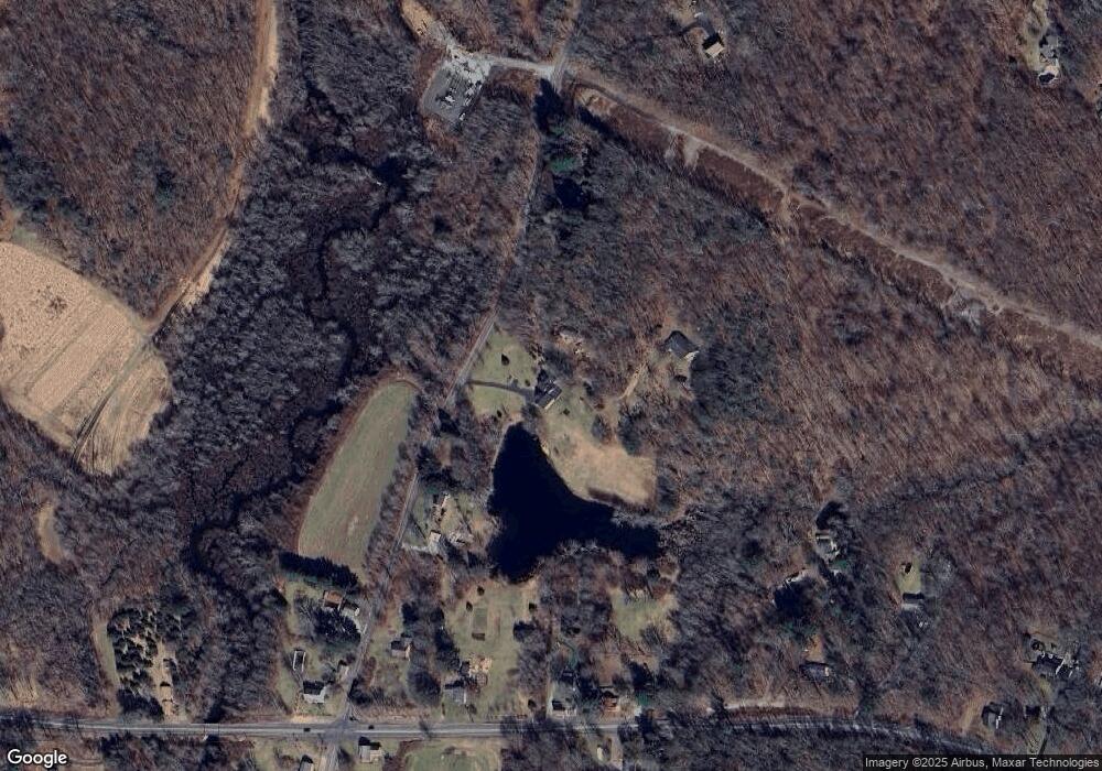
Map
Nearby Homes
- 864 Boston Turnpike
- 499 Woodmont Dr
- 2478 Main St
- 0 Daly Rd Unit 24146464
- 37 Wolf Hill Lot (#40) Rd
- 37 Wolf Hill Rd Unit Lot 40
- 395 Grant Hill Rd Unit Lot21
- 395 Grant Hill (Mill Race Drive) Lot #21 Rd
- 25 Wolf Hill Rd
- 152 Cheney Ln
- 106 David Dr
- 279 Mark Dr
- 27 Fox Trail
- 64 Summerwood Ridge
- 0 Boston Turnpike Unit 24128587
- 0 Merrow Rd Unit 24141193
- 20 Barlow Dr
- 0 Hinkel Mae Dr
- 17 Ireland Dr
- 222 Spring Rd
- 434 N River Rd
- 376 N River Rd
- 460 N River Rd
- 962 Boston Turnpike
- 330 N River Rd
- 508 N River Rd
- 351 N River Rd
- 930 Boston Turnpike
- 971 Boston Turnpike
- 335 N River Rd
- 908 Boston Turnpike
- 949 Boston Turnpike
- 890 Boston Turnpike
- 1084 Boston Turnpike
- 78 Riley Mountain Rd
- 550 N River Rd
- 50 Riley Mountain Rd
- 70 Riley Mountain Rd
- 100 Riley Mountain Rd
- 844 Boston Turnpike
Your Personal Tour Guide
Ask me questions while you tour the home.