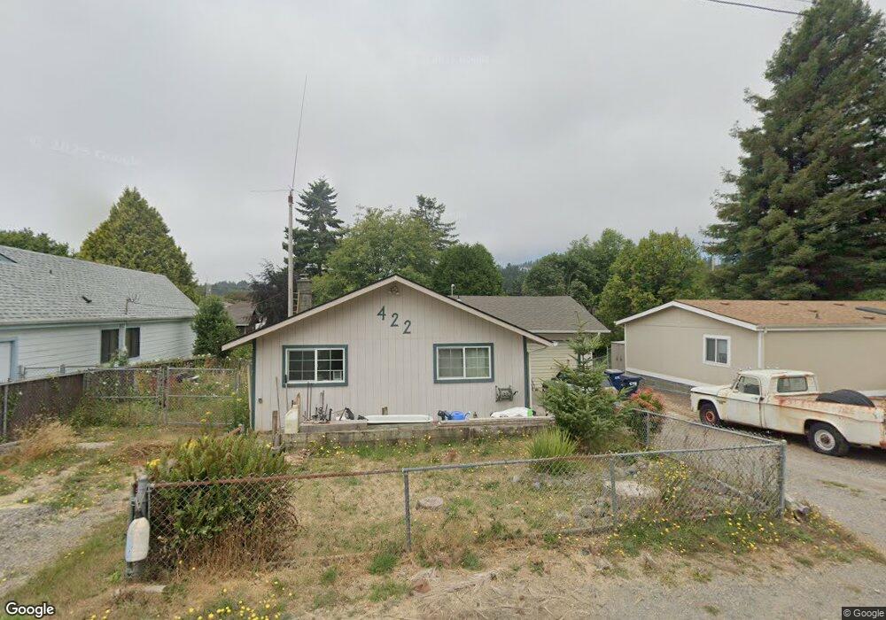
422 Pine St Brookings, OR 97415
Estimated Value: $372,000 - $391,250
3
Beds
1
Bath
1,152
Sq Ft
$331/Sq Ft
Est. Value
About This Home
This home is located at 422 Pine St, Brookings, OR 97415 and is currently estimated at $381,625, approximately $331 per square foot. 422 Pine St is a home located in Curry County with nearby schools including Kalmiopsis Elementary School, Azalea Middle School, and Brookings-Harbor High School.
Ownership History
Date
Name
Owned For
Owner Type
Purchase Details
Closed on
Apr 15, 2019
Sold by
Knopsnyder Brandon and Knopsnyder Shelly
Bought by
Moralli Bennie E and Moralli Robin L
Current Estimated Value
Home Financials for this Owner
Home Financials are based on the most recent Mortgage that was taken out on this home.
Original Mortgage
$220,924
Outstanding Balance
$195,086
Interest Rate
4.62%
Mortgage Type
FHA
Estimated Equity
$186,539
Purchase Details
Closed on
Jun 14, 2005
Sold by
Walker Paul D and Walker Malinda L
Bought by
Knopsnyder Brandon and Knopsnyder Shelly
Home Financials for this Owner
Home Financials are based on the most recent Mortgage that was taken out on this home.
Original Mortgage
$233,500
Interest Rate
5.58%
Mortgage Type
New Conventional
Create a Home Valuation Report for This Property
The Home Valuation Report is an in-depth analysis detailing your home's value as well as a comparison with similar homes in the area
Home Values in the Area
Average Home Value in this Area
Purchase History
| Date | Buyer | Sale Price | Title Company |
|---|---|---|---|
| Moralli Bennie E | $225,000 | -- | |
| Knopsnyder Brandon | $235,000 | Curry County Title Inc |
Source: Public Records
Mortgage History
| Date | Status | Borrower | Loan Amount |
|---|---|---|---|
| Open | Moralli Bennie E | $220,924 | |
| Previous Owner | Knopsnyder Brandon | $233,500 |
Source: Public Records
Tax History
| Year | Tax Paid | Tax Assessment Tax Assessment Total Assessment is a certain percentage of the fair market value that is determined by local assessors to be the total taxable value of land and additions on the property. | Land | Improvement |
|---|---|---|---|---|
| 2025 | $1,840 | $194,680 | -- | -- |
| 2024 | $1,787 | $189,010 | -- | -- |
| 2023 | $1,735 | $183,510 | $0 | $0 |
| 2022 | $1,684 | $178,170 | -- | -- |
| 2021 | $1,635 | $172,990 | $0 | $0 |
| 2020 | $1,688 | $167,960 | $0 | $0 |
| 2019 | $1,550 | $163,070 | $0 | $0 |
| 2018 | $1,617 | $158,330 | $0 | $0 |
| 2017 | $1,557 | $158,330 | $0 | $0 |
| 2016 | $1,519 | $153,720 | $0 | $0 |
Source: Public Records
Map
Nearby Homes
- 430 Pine St
- 433 Pine St
- 542 Pacific Ave
- 403 Linden Ln
- 328 Spruce Dr
- 518 Rosichelli Dr
- 714 Pioneer Rd Unit 4B
- 205 N Bank Chetco River Rd
- 6420 Bridge St
- 425 Railroad St
- 325 Railroad St
- 531 Hemlock St
- 616 Pacific Ave
- 815 Old County Rd Unit 5
- 322 Del Norte Ln
- 728 Easy St
- 6758 Jasmine Ct
- 221 Alder St
- 929 Old County Rd
- Lot #7 Joshua Ct
Your Personal Tour Guide
Ask me questions while you tour the home.