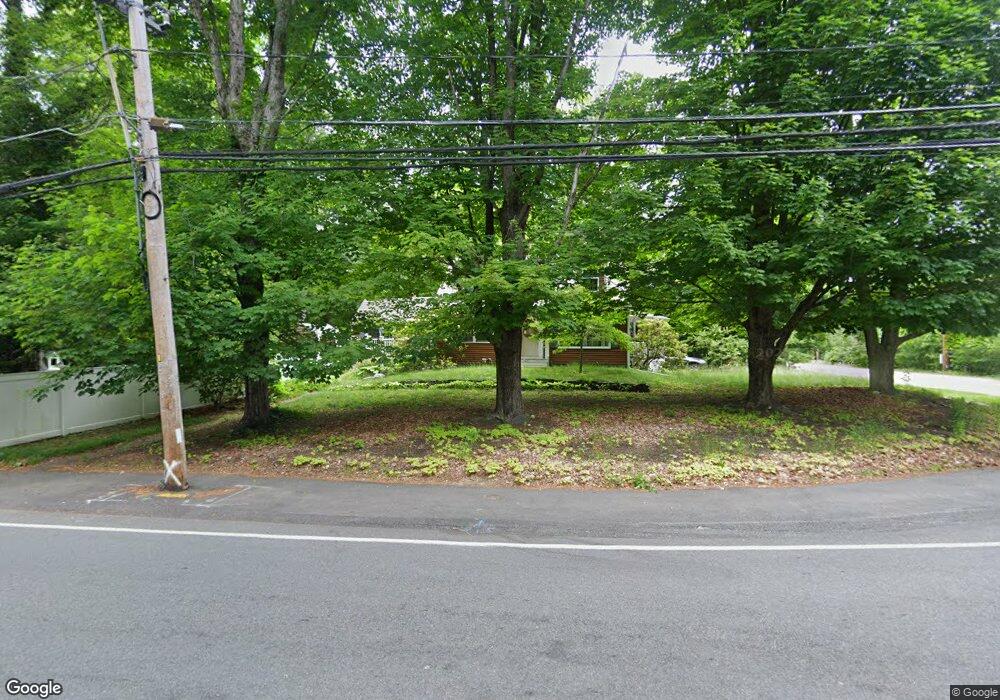
422 Stone St Walpole, MA 02081
Estimated Value: $738,000 - $863,000
3
Beds
2
Baths
1,854
Sq Ft
$426/Sq Ft
Est. Value
About This Home
This home is located at 422 Stone St, Walpole, MA 02081 and is currently estimated at $790,624, approximately $426 per square foot. 422 Stone St is a home located in Norfolk County with nearby schools including Boyden School, Eleanor N. Johnson Middle School, and Walpole High School.
Ownership History
Date
Name
Owned For
Owner Type
Purchase Details
Closed on
Jan 17, 1997
Sold by
Mcavoy Brian G and Mcavoy Dianne M
Bought by
Teixeira P Gregg and Teixeira Jill A
Current Estimated Value
Home Financials for this Owner
Home Financials are based on the most recent Mortgage that was taken out on this home.
Original Mortgage
$159,750
Interest Rate
7.36%
Mortgage Type
Purchase Money Mortgage
Purchase Details
Closed on
Sep 14, 1988
Sold by
Ciapciak Stephen R
Bought by
Mcavoy Brian G
Create a Home Valuation Report for This Property
The Home Valuation Report is an in-depth analysis detailing your home's value as well as a comparison with similar homes in the area
Home Values in the Area
Average Home Value in this Area
Purchase History
| Date | Buyer | Sale Price | Title Company |
|---|---|---|---|
| Teixeira P Gregg | $177,500 | -- | |
| Mcavoy Brian G | $167,000 | -- |
Source: Public Records
Mortgage History
| Date | Status | Borrower | Loan Amount |
|---|---|---|---|
| Open | Mcavoy Brian G | $177,000 | |
| Closed | Mcavoy Brian G | $212,000 | |
| Closed | Mcavoy Brian G | $159,750 |
Source: Public Records
Tax History
| Year | Tax Paid | Tax Assessment Tax Assessment Total Assessment is a certain percentage of the fair market value that is determined by local assessors to be the total taxable value of land and additions on the property. | Land | Improvement |
|---|---|---|---|---|
| 2025 | $8,388 | $653,800 | $326,700 | $327,100 |
| 2024 | $8,138 | $615,600 | $314,100 | $301,500 |
| 2023 | $7,870 | $566,600 | $273,200 | $293,400 |
| 2022 | $7,431 | $513,900 | $252,900 | $261,000 |
| 2021 | $7,002 | $471,800 | $238,600 | $233,200 |
| 2020 | $6,889 | $459,600 | $225,200 | $234,400 |
| 2019 | $6,686 | $442,800 | $216,400 | $226,400 |
| 2018 | $6,311 | $413,300 | $208,400 | $204,900 |
| 2017 | $6,103 | $398,100 | $200,500 | $197,600 |
| 2016 | $5,980 | $384,300 | $194,100 | $190,200 |
| 2015 | $5,776 | $367,900 | $184,800 | $183,100 |
| 2014 | $5,543 | $351,700 | $184,800 | $166,900 |
Source: Public Records
Map
Nearby Homes
- 635 Old Post Rd Unit 303
- 635 Old Post Rd Unit 302
- 587 Common St
- 224 School St Unit 9
- 145 South St Unit 5
- 222 School St Unit 9
- 1110 Main St
- 1 Palace Ct
- 1 Providence Hwy
- 0 U S Route 1
- 881 Main St Unit 9
- 486 Washington St
- 667 South St
- 1391 Main St Unit 308
- 1391 Main St Unit 306
- 1391 Main St Unit 304
- 56 North St
- 127 Clear Pond Dr
- 41 Gill St Unit A
- 137 Clear Pond Dr
- 410 Stone St
- 959 Washington St
- 87-89 Washington St
- 415 Stone St
- 402 Stone St
- 409 Stone St
- 947 Washington St
- 399 Stone St
- 394 Stone St
- 1029 Washington St
- 382 Stone St
- 393 Stone St
- 943 Washington St
- 1035 Washington St
- 374 Stone St
- 1041 Washington St
- 939 Washington St
- 362 Stone St
- 367 Stone St
- 1051 Washington St