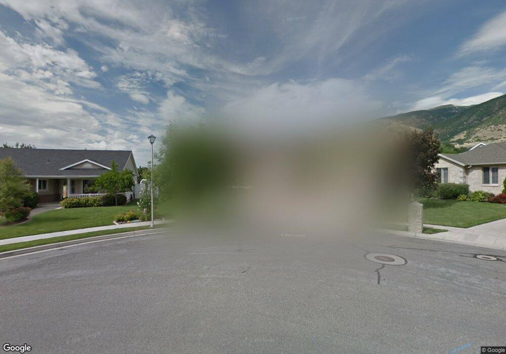
422 W 1050 N Centerville, UT 84014
Estimated Value: $506,000 - $567,851
3
Beds
2
Baths
1,298
Sq Ft
$408/Sq Ft
Est. Value
About This Home
This home is located at 422 W 1050 N, Centerville, UT 84014 and is currently estimated at $528,963, approximately $407 per square foot. 422 W 1050 N is a home located in Davis County with nearby schools including Stewart Elementary School, Centerville Jr High, and Viewmont High School.
Ownership History
Date
Name
Owned For
Owner Type
Purchase Details
Closed on
Oct 26, 2020
Sold by
Krek Tauny M
Bought by
Krek Tauny M and Zacher Kerry
Current Estimated Value
Purchase Details
Closed on
May 8, 2013
Sold by
Sharp Gary W and Sharp Kelly L
Bought by
Krek Tauny M
Home Financials for this Owner
Home Financials are based on the most recent Mortgage that was taken out on this home.
Original Mortgage
$232,800
Outstanding Balance
$164,845
Interest Rate
3.54%
Mortgage Type
New Conventional
Estimated Equity
$364,118
Purchase Details
Closed on
Sep 13, 1999
Sold by
Robert Homes Construction Inc
Bought by
Sharp Gary W and Sharp Kelly L
Home Financials for this Owner
Home Financials are based on the most recent Mortgage that was taken out on this home.
Original Mortgage
$130,000
Interest Rate
7.66%
Mortgage Type
Construction
Create a Home Valuation Report for This Property
The Home Valuation Report is an in-depth analysis detailing your home's value as well as a comparison with similar homes in the area
Home Values in the Area
Average Home Value in this Area
Purchase History
| Date | Buyer | Sale Price | Title Company |
|---|---|---|---|
| Krek Tauny M | -- | None Available | |
| Krek Tauny M | -- | Title Guarantee River | |
| Sharp Gary W | -- | Western States Title Company |
Source: Public Records
Mortgage History
| Date | Status | Borrower | Loan Amount |
|---|---|---|---|
| Open | Krek Tauny M | $232,800 | |
| Previous Owner | Sharp Gary W | $130,000 | |
| Closed | Sharp Gary W | $12,500 |
Source: Public Records
Tax History Compared to Growth
Tax History
| Year | Tax Paid | Tax Assessment Tax Assessment Total Assessment is a certain percentage of the fair market value that is determined by local assessors to be the total taxable value of land and additions on the property. | Land | Improvement |
|---|---|---|---|---|
| 2025 | -- | $282,150 | $172,367 | $109,783 |
| 2024 | -- | $270,050 | $157,150 | $112,900 |
| 2023 | $956 | $471,000 | $254,856 | $216,144 |
| 2022 | $956 | $262,900 | $129,282 | $133,618 |
| 2021 | $798 | $371,000 | $200,617 | $170,383 |
| 2020 | $2,149 | $324,000 | $194,295 | $129,705 |
| 2019 | $2,340 | $332,000 | $189,295 | $142,705 |
| 2018 | $2,117 | $308,000 | $175,352 | $132,648 |
| 2016 | $1,768 | $142,890 | $58,193 | $84,697 |
| 2015 | $1,868 | $142,450 | $58,193 | $84,257 |
| 2014 | $1,698 | $132,489 | $58,193 | $74,296 |
| 2013 | -- | $134,750 | $50,216 | $84,534 |
Source: Public Records
Map
Nearby Homes
- 429 W 1050 N
- 1154 N 700 W
- 271 Brookfield Ln
- 732 W 1175 N
- 495 Creek View Rd
- 781 Pheasantbrook Dr
- 763 Pheasantbrook Dr
- 751 Pheasantbrook Dr
- 775 Pheasantbrook Cir
- 509 Applewood Dr
- 282 W 650 N
- 67 W Pheasantbrook Dr
- 638 N 800 W
- 447 W 620 N Unit 106
- 281 W 650 N Unit C
- 171 W 650 N
- 1441 N Main St
- 1285 Nola Dr
- 274 N 100 W
- 232 N 100 W