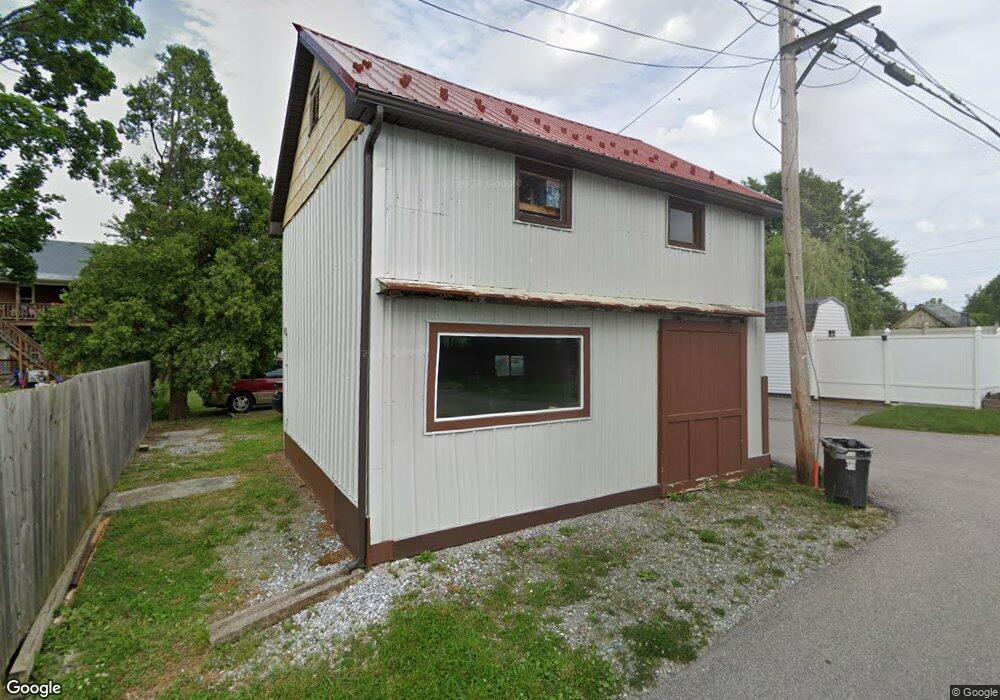
422 W Howard St Dallastown, PA 17313
Estimated Value: $165,000 - $187,962
2
Beds
1
Bath
784
Sq Ft
$229/Sq Ft
Est. Value
About This Home
This home is located at 422 W Howard St, Dallastown, PA 17313 and is currently estimated at $179,491, approximately $228 per square foot. 422 W Howard St is a home located in York County with nearby schools including Dallastown Elementary School, Dallastown Area Middle School, and Dallastown Area High School.
Ownership History
Date
Name
Owned For
Owner Type
Purchase Details
Closed on
Sep 26, 2003
Sold by
Anderson David L and Anderson Patricia K
Bought by
Strayer Tracy L and Strayer Leslie D
Current Estimated Value
Home Financials for this Owner
Home Financials are based on the most recent Mortgage that was taken out on this home.
Original Mortgage
$97,693
Outstanding Balance
$45,714
Interest Rate
6.25%
Mortgage Type
FHA
Estimated Equity
$133,777
Purchase Details
Closed on
Oct 1, 1992
Bought by
Anderson David L and Anderson Patricia K
Create a Home Valuation Report for This Property
The Home Valuation Report is an in-depth analysis detailing your home's value as well as a comparison with similar homes in the area
Home Values in the Area
Average Home Value in this Area
Purchase History
| Date | Buyer | Sale Price | Title Company |
|---|---|---|---|
| Strayer Tracy L | $98,500 | First American Title Ins Co | |
| Anderson David L | $73,000 | -- |
Source: Public Records
Mortgage History
| Date | Status | Borrower | Loan Amount |
|---|---|---|---|
| Open | Strayer Tracy L | $97,693 |
Source: Public Records
Tax History Compared to Growth
Tax History
| Year | Tax Paid | Tax Assessment Tax Assessment Total Assessment is a certain percentage of the fair market value that is determined by local assessors to be the total taxable value of land and additions on the property. | Land | Improvement |
|---|---|---|---|---|
| 2025 | $3,085 | $89,880 | $40,250 | $49,630 |
| 2024 | $3,040 | $89,880 | $40,250 | $49,630 |
| 2023 | $3,040 | $89,880 | $40,250 | $49,630 |
| 2022 | $2,941 | $89,880 | $40,250 | $49,630 |
| 2021 | $2,802 | $89,880 | $40,250 | $49,630 |
| 2020 | $2,802 | $89,880 | $40,250 | $49,630 |
| 2019 | $2,793 | $89,880 | $40,250 | $49,630 |
| 2018 | $2,774 | $89,880 | $40,250 | $49,630 |
| 2017 | $2,663 | $89,880 | $40,250 | $49,630 |
| 2016 | $0 | $89,880 | $40,250 | $49,630 |
| 2015 | -- | $89,880 | $40,250 | $49,630 |
| 2014 | -- | $89,880 | $40,250 | $49,630 |
Source: Public Records
Map
Nearby Homes
- 428 W Main St
- 355 W Main St
- 0 S Franklin St
- 2981 Sunset Dr
- 732 Blossom Hill Ln
- 106 Teila Dr
- 774 Blossom Hill Ln
- 136 Teila Dr
- 424 Dartha Dr
- 435 Frederick Dr
- 0 Gary Dr
- 2933 Exeter Dr S
- 64 S Pleasant Ave
- 122 S Pleasant Ave
- 2925 Starfire Dr
- 680 Hampstead Ct
- 2960 Starfire Dr
- 125 Verna Dr
- 74 S Main St
- 56 E Frederick St
- 420 W Howard St
- 400 W Howard St
- 425 W Howard St
- 460 W Cherry Ln
- 390 W Cherry Ln Unit 392
- 412 W Main St
- 418 W Main St
- 410 W Main St
- 408 W Main St
- 422 W Main St
- 424 W Main St
- 400 W Main St
- 432 W Main St
- 436 W Main St
- 446 W Main St
- 404 W Main St
- 424 W Howard St
- 392 W Main St
- 454 W Main St
- 388 W Main St