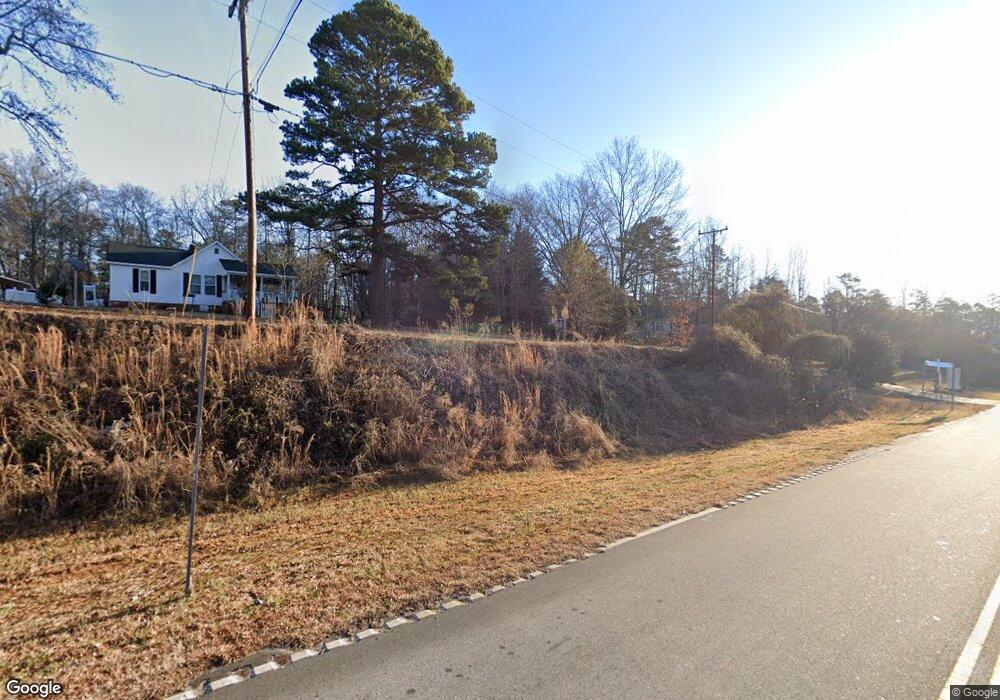
4220 Highway 5 Rock Hill, SC 29730
Estimated Value: $270,000 - $327,000
3
Beds
2
Baths
1,450
Sq Ft
$211/Sq Ft
Est. Value
About This Home
This home is located at 4220 Highway 5, Rock Hill, SC 29730 and is currently estimated at $305,741, approximately $210 per square foot. 4220 Highway 5 is a home located in York County with nearby schools including Lesslie Elementary School, Castle Heights Middle School, and Rock Hill High School.
Ownership History
Date
Name
Owned For
Owner Type
Purchase Details
Closed on
Oct 27, 2014
Sold by
Werth Melvin T
Bought by
Woolley Michael
Current Estimated Value
Home Financials for this Owner
Home Financials are based on the most recent Mortgage that was taken out on this home.
Original Mortgage
$146,428
Outstanding Balance
$113,235
Interest Rate
4.26%
Mortgage Type
New Conventional
Estimated Equity
$192,506
Purchase Details
Closed on
Aug 14, 2012
Sold by
Estate Of Richard C Totherow Jr
Bought by
Totherow Lola W and Ferguson Teresa
Purchase Details
Closed on
Jun 26, 2003
Sold by
Foxx Michael W and Smarr Tara M
Bought by
Werth Melvin T
Create a Home Valuation Report for This Property
The Home Valuation Report is an in-depth analysis detailing your home's value as well as a comparison with similar homes in the area
Home Values in the Area
Average Home Value in this Area
Purchase History
| Date | Buyer | Sale Price | Title Company |
|---|---|---|---|
| Woolley Michael | $143,500 | -- | |
| Totherow Lola W | -- | -- | |
| Werth Melvin T | $98,000 | -- |
Source: Public Records
Mortgage History
| Date | Status | Borrower | Loan Amount |
|---|---|---|---|
| Open | Woolley Michael | $146,428 |
Source: Public Records
Tax History Compared to Growth
Tax History
| Year | Tax Paid | Tax Assessment Tax Assessment Total Assessment is a certain percentage of the fair market value that is determined by local assessors to be the total taxable value of land and additions on the property. | Land | Improvement |
|---|---|---|---|---|
| 2024 | $862 | $6,140 | $988 | $5,152 |
| 2023 | $884 | $6,140 | $988 | $5,152 |
| 2022 | $887 | $6,140 | $988 | $5,152 |
| 2021 | -- | $6,140 | $988 | $5,152 |
| 2020 | $884 | $6,140 | $0 | $0 |
| 2019 | $806 | $5,340 | $0 | $0 |
| 2018 | $800 | $5,340 | $0 | $0 |
| 2017 | $754 | $5,340 | $0 | $0 |
| 2016 | $731 | $5,340 | $0 | $0 |
| 2014 | $579 | $8,010 | $1,800 | $6,210 |
| 2013 | $579 | $4,620 | $1,200 | $3,420 |
Source: Public Records
Map
Nearby Homes
- 0000 Tract #1A Roddey Rd
- 1009 Rainbow Cir
- 4000 Lesslie Hwy
- 4001 Lesslie Hwy
- 686 Cannon Dr
- 3886 Lesslie Hwy
- 3835 Lesslie Hwy
- 574 Karen Dr
- Lot 2 Ratteree Farm Rd Unit 2
- 355 Leisure Ln
- 00 Whispering Pines Dr Unit 31
- 356 Emma Wood Ln
- 4575 Cureton Ferry Rd
- 1903 Manning Place
- 3943 Walker Road (Land Only)
- 925 Four Cross Rd
- 3943 Walker Rd Unit LOT ONLY
- 3943 Walker Rd
- 57 Acres Woodstock Dr
- 3339 Lesslie Hwy Unit 2
- 4220 S Carolina 5
- 4210 Highway 5
- 250 Old Friendship Rd
- 266 Old Friendship Rd
- 280 Old Friendship Rd
- 236 Old Friendship Rd
- 0 Old Friendship Rd
- 4227 Highway 5 None
- 220 Old Friendship Rd
- 4227 Highway 5
- 271 Old Friendship Rd
- 281 Old Friendship Rd
- 4221 Highway 5
- 4192 Buice Cir
- 4221 S Carolina 5
- 4215 Highway 5
- 207 Old Friendship Rd
- 225 Old Friendship Rd
- 4207 S Carolina 5
- 4207 Highway 5