4220 Matia View Dr Lummi Island, WA 98262
Estimated Value: $743,000 - $793,000
4
Beds
3
Baths
2,030
Sq Ft
$381/Sq Ft
Est. Value
About This Home
This home is located at 4220 Matia View Dr, Lummi Island, WA 98262 and is currently estimated at $773,035, approximately $380 per square foot. 4220 Matia View Dr is a home located in Whatcom County with nearby schools including Beach Elementary School, Vista Middle School, and Ferndale High School.
Ownership History
Date
Name
Owned For
Owner Type
Purchase Details
Closed on
Jul 14, 2017
Sold by
Franzmann Axel J and Franzmann Anne Marie
Bought by
Buford Mark P and Buford Kathleen A
Current Estimated Value
Home Financials for this Owner
Home Financials are based on the most recent Mortgage that was taken out on this home.
Original Mortgage
$329,375
Outstanding Balance
$169,613
Interest Rate
3.19%
Mortgage Type
New Conventional
Estimated Equity
$603,422
Create a Home Valuation Report for This Property
The Home Valuation Report is an in-depth analysis detailing your home's value as well as a comparison with similar homes in the area
Home Values in the Area
Average Home Value in this Area
Purchase History
| Date | Buyer | Sale Price | Title Company |
|---|---|---|---|
| Buford Mark P | $387,500 | Whatcom Land Title Co Inc |
Source: Public Records
Mortgage History
| Date | Status | Borrower | Loan Amount |
|---|---|---|---|
| Open | Buford Mark P | $329,375 |
Source: Public Records
Tax History Compared to Growth
Tax History
| Year | Tax Paid | Tax Assessment Tax Assessment Total Assessment is a certain percentage of the fair market value that is determined by local assessors to be the total taxable value of land and additions on the property. | Land | Improvement |
|---|---|---|---|---|
| 2024 | $5,323 | $718,724 | $287,508 | $431,216 |
| 2023 | $5,323 | $702,566 | $281,044 | $421,522 |
| 2022 | $4,065 | $471,528 | $188,623 | $282,905 |
| 2021 | $3,610 | $410,024 | $164,020 | $246,004 |
| 2020 | $3,970 | $347,478 | $139,000 | $208,478 |
| 2019 | $3,123 | $347,478 | $139,000 | $208,478 |
| 2018 | $4,068 | $315,150 | $121,230 | $193,920 |
| 2017 | $3,330 | $315,150 | $121,230 | $193,920 |
| 2016 | $3,253 | $270,696 | $104,130 | $166,566 |
| 2015 | $3,203 | $261,338 | $100,530 | $160,808 |
| 2014 | -- | $254,319 | $97,830 | $156,489 |
| 2013 | -- | $233,964 | $90,000 | $143,964 |
Source: Public Records
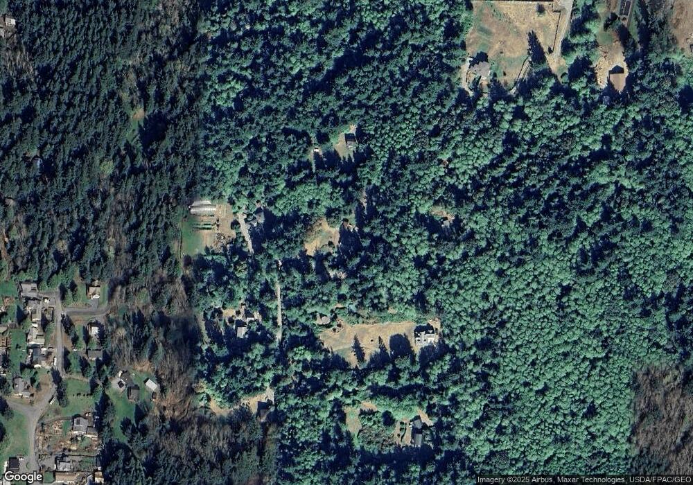
Map
Nearby Homes
- 2591 Taft Dr
- 2579 W Shore Dr
- 2533 Island View Ln
- 2879 N Nugent Rd Unit H8
- 2877 N Nugent Rd Unit M4
- 0 Taft Dr
- 2395 W Shore Dr
- 2383 W Shore Dr
- 4065 Sunny Hill Ln
- 2093 Granger Way
- 3965 Legoe Bay Rd
- 2589 Lummi View Dr
- 2625 Lummi View Dr
- 3456 Emma Rd
- 3440 Emma Rd
- 2579 Finkbonner Rd
- 2560 Lummi View Dr
- 2552 Lummi View Dr
- 16 xx S Nugent Rd
- 3003 Haxton Way
- 4300 Matia View Dr
- 4230 Matia View Dr
- 4210 Matia View Dr
- 4235 Matia View Dr
- 4285 Matia View Dr
- 4275 Matia View Dr
- 4292 Matia View Dr
- 2735 Coastview Ln
- 4225 Matia View Dr
- 4306 Matia View Dr
- 2620 Island View Ln
- 2634 Island View Ln
- 2626 Island View Ln
- 0 Lot 6 Island View Ln Unit 499604
- 0 Lot 6 Island View Ln Unit 612367
- 2694 W Shore Dr
- 0 Cedar Place
- 2647 Island View Ln
- 2641 Island View Ln
- 2610 Island View Ln