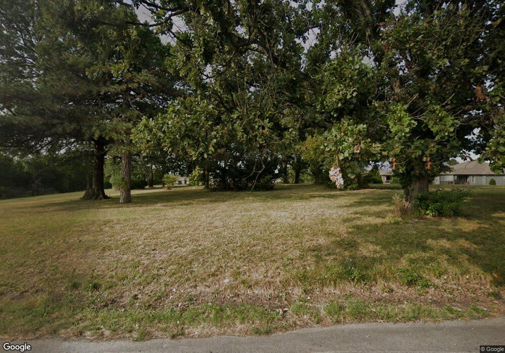
4220 NW R D Mize Rd Independence, MO 64057
Little Blue NeighborhoodEstimated Value: $285,730 - $307,000
2
Beds
1
Bath
1,239
Sq Ft
$238/Sq Ft
Est. Value
About This Home
This home is located at 4220 NW R D Mize Rd, Independence, MO 64057 and is currently estimated at $295,183, approximately $238 per square foot. 4220 NW R D Mize Rd is a home located in Jackson County with nearby schools including James Lewis Elementary School, Brittany Hill Middle School, and Blue Springs High School.
Ownership History
Date
Name
Owned For
Owner Type
Purchase Details
Closed on
Jul 15, 2021
Sold by
Rolmm Acres Llc
Bought by
Patel Riteshkumar
Current Estimated Value
Home Financials for this Owner
Home Financials are based on the most recent Mortgage that was taken out on this home.
Original Mortgage
$200,000
Outstanding Balance
$35,420
Interest Rate
2.96%
Mortgage Type
Future Advance Clause Open End Mortgage
Estimated Equity
$259,763
Purchase Details
Closed on
Dec 7, 2015
Sold by
Winstead Maryln and Winstead Maryln J
Bought by
Rolmm Acres Llc
Create a Home Valuation Report for This Property
The Home Valuation Report is an in-depth analysis detailing your home's value as well as a comparison with similar homes in the area
Home Values in the Area
Average Home Value in this Area
Purchase History
| Date | Buyer | Sale Price | Title Company |
|---|---|---|---|
| Patel Riteshkumar | -- | First American Title | |
| Rolmm Acres Llc | -- | None Available |
Source: Public Records
Mortgage History
| Date | Status | Borrower | Loan Amount |
|---|---|---|---|
| Open | Patel Riteshkumar | $200,000 |
Source: Public Records
Tax History Compared to Growth
Tax History
| Year | Tax Paid | Tax Assessment Tax Assessment Total Assessment is a certain percentage of the fair market value that is determined by local assessors to be the total taxable value of land and additions on the property. | Land | Improvement |
|---|---|---|---|---|
| 2025 | $2,200 | $27,759 | $27,759 | -- |
| 2024 | $2,360 | $24,140 | $24,140 | -- |
| 2023 | $2,360 | $24,140 | $24,140 | $0 |
| 2022 | $1,765 | $22,990 | $9,244 | $13,746 |
| 2021 | $1,764 | $22,990 | $9,244 | $13,746 |
| 2020 | $1,573 | $20,191 | $9,244 | $10,947 |
| 2019 | $1,520 | $20,191 | $9,244 | $10,947 |
| 2018 | $1,533 | $19,755 | $7,319 | $12,436 |
| 2017 | $1,533 | $19,755 | $7,319 | $12,436 |
| 2016 | $1,488 | $19,260 | $7,896 | $11,364 |
| 2014 | $1,496 | $19,260 | $7,896 | $11,364 |
Source: Public Records
Map
Nearby Homes
- 22908 E 41st Terrace S
- 3605 NW Pier Ct
- 4013 NW Sol Dr
- 4043 NW Eclipse Place
- 2413 NW Sunnyvale Ct
- 2433 NW Sunnyvale Ct
- 2437 NW Sunnyvale Ct
- 1618 NW Samantha Ct
- 4012 NW Delwood Ct
- 4508 NW Valley View Rd
- 4301 NW Briarwood Dr
- 3212 NW Canterbury Rd
- 3213 NW Canterbury Place
- 704 NW 39th St
- 1029 NW Berkshire Dr
- 5200 NW Primrose Ct
- 5205 NW Primrose Ct
- 1604 NW Sunridge Dr
- 1401 NW Birdseye Ct
- 1515 NW Primrose Ln
- 22913 E 42nd Street Ct S
- 22917 E 42 St
- 22917 E 42nd Street Ct S
- 22909 E 42nd Street Ct S
- 4225 S White Sands Ct
- 22905 E 42nd Street Ct S
- 22921 E 42 St
- 4221 S White Sands Ct
- 1801 NW Harbor Place
- 4211 S White Sands Ct
- 1907 NW Harbor Ct
- 3629 NW Pier Ct
- 4229 S White Sands Ct
- 4217 S White Sands Ct
- 3620 NW Pier Ct
- 22910 E 42nd St Ct S
- 22906 E 42nd Street Ct S
- 22906 E 42nd Street Ct S
- 22910 E 42nd Street Ct S
- 1911 NW Harbor Ct
