4220 Ragsdale Ct Fuquay Varina, NC 27526
Estimated Value: $644,000 - $661,000
3
Beds
3
Baths
2,562
Sq Ft
$255/Sq Ft
Est. Value
About This Home
This home is located at 4220 Ragsdale Ct, Fuquay Varina, NC 27526 and is currently estimated at $654,183, approximately $255 per square foot. 4220 Ragsdale Ct is a home located in Wake County with nearby schools including Banks Road Elementary School and New School Montessori Center.
Ownership History
Date
Name
Owned For
Owner Type
Purchase Details
Closed on
Aug 21, 2015
Sold by
Streb Bartholomew Andrew and Streb Janet Hall
Bought by
Foley Amanda and Clair David M
Current Estimated Value
Home Financials for this Owner
Home Financials are based on the most recent Mortgage that was taken out on this home.
Original Mortgage
$268,000
Outstanding Balance
$211,209
Interest Rate
4.09%
Mortgage Type
New Conventional
Estimated Equity
$442,974
Purchase Details
Closed on
Oct 16, 1992
Bought by
Streb Bartholmew Andrew and Streb Janet Hall
Create a Home Valuation Report for This Property
The Home Valuation Report is an in-depth analysis detailing your home's value as well as a comparison with similar homes in the area
Home Values in the Area
Average Home Value in this Area
Purchase History
| Date | Buyer | Sale Price | Title Company |
|---|---|---|---|
| Foley Amanda | $335,000 | Attorney | |
| Streb Bartholmew Andrew | $105,500 | -- |
Source: Public Records
Mortgage History
| Date | Status | Borrower | Loan Amount |
|---|---|---|---|
| Open | Foley Amanda | $268,000 |
Source: Public Records
Tax History Compared to Growth
Tax History
| Year | Tax Paid | Tax Assessment Tax Assessment Total Assessment is a certain percentage of the fair market value that is determined by local assessors to be the total taxable value of land and additions on the property. | Land | Improvement |
|---|---|---|---|---|
| 2025 | -- | $574,911 | $175,000 | $399,911 |
| 2024 | $3,590 | $574,911 | $175,000 | $399,911 |
| 2023 | $2,671 | $340,001 | $87,500 | $252,501 |
| 2022 | $2,475 | $340,001 | $87,500 | $252,501 |
| 2021 | $2,409 | $340,001 | $87,500 | $252,501 |
| 2020 | $2,369 | $340,001 | $87,500 | $252,501 |
| 2019 | $2,165 | $262,603 | $73,500 | $189,103 |
| 2018 | $1,991 | $262,603 | $73,500 | $189,103 |
| 2017 | $1,887 | $262,603 | $73,500 | $189,103 |
| 2016 | $1,849 | $262,603 | $73,500 | $189,103 |
| 2015 | -- | $260,051 | $84,000 | $176,051 |
| 2014 | $1,731 | $260,051 | $84,000 | $176,051 |
Source: Public Records
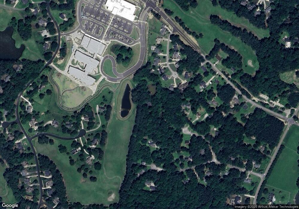
Map
Nearby Homes
- 4229 Hilltop Needmore Rd
- 4225 Hilltop Needmore Rd
- 5401 Greensflag Ln
- 4700 Linaria Ln
- 2417 Ridgeford Ct
- 4716 Shady Greens Dr
- 5417 Willow Bridge Ln
- 4737 Shady Greens Dr
- 2628 Forestbluff Dr
- 2624 Forestbluff Dr
- 5217 W Oaks Dr
- 6028 Spicewood Dr
- 5705 Tannibark Ln
- 2612 Hidden Meadow Dr
- 6104 Spicewood Dr
- 2029 Prairie Ridge Ct
- 3521 Amelia Grace Dr Unit Lot 67
- 3501 Amelia Grace Dr Unit Lot 71
- 3412 Amelia Grace Dr Unit Lot 43
- 2424 Deermist Way
- 5524 Linkside Ct
- 5520 Linkside Ct
- 5516 Linkside Ct
- 2612 Timothy Dr
- 4216 Ragsdale Ct
- 5523 Linkside Ct
- 5512 Linkside Ct
- 4600 Gomar Ln
- 4212 Ragsdale Ct
- 5515 Linkside Ct
- 4205 Ragsdale Ct
- 5519 Linkside Ct
- 5508 Linkside Ct
- 5509 Linkside Ct
- 2616 Timothy Dr
- 4604 Gomar Ln
- 4321 Hilltop Needmore Rd
- 4208 Ragsdale Ct
- 2604 Timothy Dr
- 5504 Linkside Ct