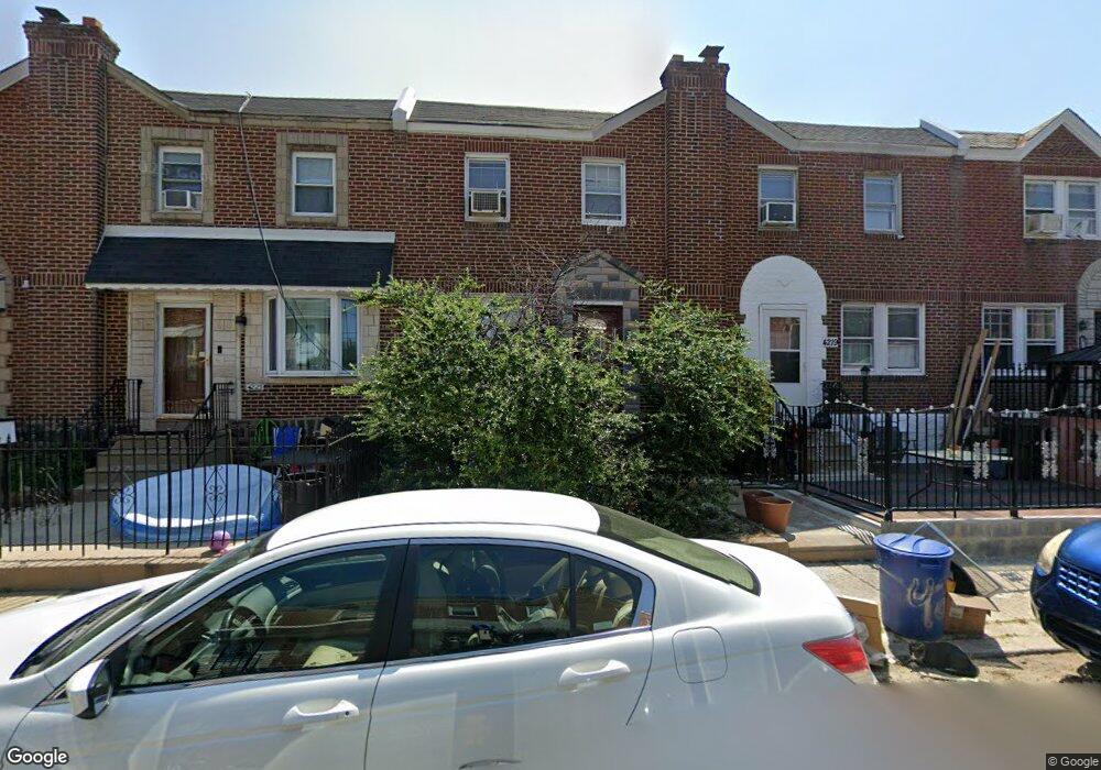
4221 Maywood St Philadelphia, PA 19124
Juniata Park NeighborhoodEstimated Value: $204,000 - $234,000
3
Beds
1
Bath
1,188
Sq Ft
$179/Sq Ft
Est. Value
About This Home
This home is located at 4221 Maywood St, Philadelphia, PA 19124 and is currently estimated at $212,918, approximately $179 per square foot. 4221 Maywood St is a home located in Philadelphia County with nearby schools including Frankford High School, Mariana Bracetti Academy Cs, and Community Academy of Philadelphia CS.
Ownership History
Date
Name
Owned For
Owner Type
Purchase Details
Closed on
Sep 10, 2007
Sold by
Klus Barbara J
Bought by
Garrett Tyesha
Current Estimated Value
Home Financials for this Owner
Home Financials are based on the most recent Mortgage that was taken out on this home.
Original Mortgage
$120,000
Outstanding Balance
$76,481
Interest Rate
6.7%
Mortgage Type
Purchase Money Mortgage
Estimated Equity
$136,437
Purchase Details
Closed on
Mar 4, 1996
Sold by
Donnelly Patricia J
Bought by
Klus Barbara J
Create a Home Valuation Report for This Property
The Home Valuation Report is an in-depth analysis detailing your home's value as well as a comparison with similar homes in the area
Home Values in the Area
Average Home Value in this Area
Purchase History
| Date | Buyer | Sale Price | Title Company |
|---|---|---|---|
| Garrett Tyesha | $120,000 | None Available | |
| Klus Barbara J | $48,200 | -- |
Source: Public Records
Mortgage History
| Date | Status | Borrower | Loan Amount |
|---|---|---|---|
| Open | Garrett Tyesha | $120,000 |
Source: Public Records
Tax History Compared to Growth
Tax History
| Year | Tax Paid | Tax Assessment Tax Assessment Total Assessment is a certain percentage of the fair market value that is determined by local assessors to be the total taxable value of land and additions on the property. | Land | Improvement |
|---|---|---|---|---|
| 2025 | $2,066 | $168,200 | $33,640 | $134,560 |
| 2024 | $2,066 | $168,200 | $33,640 | $134,560 |
| 2023 | $2,066 | $147,600 | $29,520 | $118,080 |
| 2022 | $757 | $102,600 | $29,520 | $73,080 |
| 2021 | $1,387 | $0 | $0 | $0 |
| 2020 | $1,387 | $0 | $0 | $0 |
| 2019 | $1,288 | $0 | $0 | $0 |
| 2018 | $792 | $0 | $0 | $0 |
| 2017 | $1,212 | $0 | $0 | $0 |
| 2016 | $792 | $0 | $0 | $0 |
| 2015 | $758 | $0 | $0 | $0 |
| 2014 | -- | $86,600 | $12,367 | $74,233 |
| 2012 | -- | $11,904 | $1,270 | $10,634 |
Source: Public Records
Map
Nearby Homes
- 4238 Castor Ave
- 4150 Maywood St
- 4138 Markland St
- 1400 E Bristol St
- 4252 M St
- 4221 Neilson St
- 4229 Neilson St
- 4247 Glendale St
- 4264 Neilson St
- 4042 Castor Ave
- 4038 Castor Ave
- 1603 E Hunting Park Ave
- 4050 Glendale St
- 1554 E Lycoming St
- 4042 O St
- 4013 Dungan St
- 1537 E Luzerne St
- 4132 Claridge St
- 4026 L St
- 4141 K St
- 4223 Maywood St
- 4219 Maywood St
- 4225 Maywood St
- 4217 Maywood St
- 4227 Maywood St
- 4215 Maywood St
- 4220 Markland St
- 4229 Maywood St
- 4224 Markland St
- 4218 Markland St
- 4222 Markland St
- 4216 Markland St
- 4226 Markland St
- 4231 Maywood St
- 4214 Markland St
- 4222 Maywood St
- 4220 Maywood St
- 4224 Maywood St
- 4228 Markland St
- 4218 Maywood St