4221 N Ashton Rd Otis Orchards, WA 99027
Otis Orchards-East Farms NeighborhoodEstimated Value: $610,000 - $932,000
5
Beds
2
Baths
3,057
Sq Ft
$257/Sq Ft
Est. Value
About This Home
This home is located at 4221 N Ashton Rd, Otis Orchards, WA 99027 and is currently estimated at $786,426, approximately $257 per square foot. 4221 N Ashton Rd is a home located in Spokane County with nearby schools including Otis Orchards School, East Valley Middle School, and East Valley High School & Extension.
Ownership History
Date
Name
Owned For
Owner Type
Purchase Details
Closed on
Sep 25, 2002
Sold by
Fyre Gary E and Fyre Janet K
Bought by
Soffe Pierre J
Current Estimated Value
Home Financials for this Owner
Home Financials are based on the most recent Mortgage that was taken out on this home.
Original Mortgage
$251,720
Outstanding Balance
$114,040
Interest Rate
7.27%
Mortgage Type
Negative Amortization
Estimated Equity
$672,386
Create a Home Valuation Report for This Property
The Home Valuation Report is an in-depth analysis detailing your home's value as well as a comparison with similar homes in the area
Home Values in the Area
Average Home Value in this Area
Purchase History
| Date | Buyer | Sale Price | Title Company |
|---|---|---|---|
| Soffe Pierre J | -- | Pacific Nw Title |
Source: Public Records
Mortgage History
| Date | Status | Borrower | Loan Amount |
|---|---|---|---|
| Open | Soffe Pierre J | $251,720 |
Source: Public Records
Tax History Compared to Growth
Tax History
| Year | Tax Paid | Tax Assessment Tax Assessment Total Assessment is a certain percentage of the fair market value that is determined by local assessors to be the total taxable value of land and additions on the property. | Land | Improvement |
|---|---|---|---|---|
| 2025 | $8,763 | $737,200 | $226,400 | $510,800 |
| 2024 | $8,763 | $653,500 | $221,400 | $432,100 |
| 2023 | $6,466 | $653,500 | $221,400 | $432,100 |
| 2022 | $6,417 | $670,000 | $221,400 | $448,600 |
| 2021 | $6,126 | $481,600 | $152,600 | $329,000 |
| 2020 | $5,818 | $443,140 | $140,840 | $302,300 |
| 2019 | $6,414 | $436,600 | $125,700 | $310,900 |
| 2018 | $5,635 | $396,210 | $92,110 | $304,100 |
| 2017 | $5,261 | $370,610 | $92,110 | $278,500 |
| 2016 | $4,680 | $331,580 | $79,580 | $252,000 |
| 2015 | $4,770 | $326,680 | $79,580 | $247,100 |
| 2014 | -- | $325,880 | $79,580 | $246,300 |
| 2013 | -- | $0 | $0 | $0 |
Source: Public Records
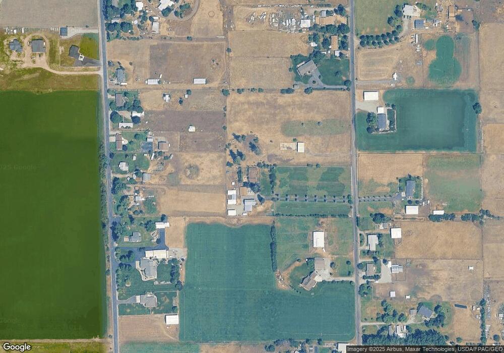
Map
Nearby Homes
- 4904 N Darin Rd
- 19625 E Wellesley Ave Unit Space 59
- 19625 E Wellesley Ave Unit 47
- 21725 E Wellesley #38 Ave Unit 38
- 21725 E Wellesley Ave Unit 9
- 21725 E Wellesley Ave Unit 24
- 20306 E Happy Trails Ln
- 20303 E Happy Trails Ln
- 19029 E Frederick Ave
- 19018 E Fairview Ave
- 6127 N Campbell Rd
- 19810 E Snake River Ave
- 3512 N Barker Rd
- 5320 N Vista Grande Dr
- 2903 N Harmony St
- 18316 E Bridgeport Ave
- 2020 N Hodges Ln
- 20170 E Glenbrook Ave
- 5114 N Del Rey Dr
- 5612 N Vista Grande Dr
- 4315 N Ashton Rd
- 4101 N Ashton Rd
- 4407 N Ashton Rd
- 4208 N Campbell Rd
- 4220 N Campbell Rd
- 4122 N Campbell Rd
- 4310 N Campbell Rd
- 4304 N Campbell Rd
- 4110 N Campbell Rd
- 4312 N Ashton Rd
- 4106 N Ashton Rd
- 4322 N Campbell Rd
- 4120 N Ashton Rd
- 4421 N Ashton Rd
- 4230 N Ashton Rd
- 4006 N Campbell Rd
- 4406 N Campbell Rd
- 0 Campbell Rd Unit 201117939
- 00 N Campbell Rd
- 4505 N Ashton Rd