4221 Ossie Ln Conway, SC 29527
Estimated Value: $182,000
--
Bed
--
Bath
--
Sq Ft
44.54
Acres
About This Home
This home is located at 4221 Ossie Ln, Conway, SC 29527 and is currently estimated at $182,000. 4221 Ossie Ln is a home located in Horry County with nearby schools including Pee Dee Elementary School, Whittemore Park Middle School, and Conway High School.
Ownership History
Date
Name
Owned For
Owner Type
Purchase Details
Closed on
Jul 19, 2018
Sold by
Gene Smith
Bought by
Ortiz Gustavo and Garcia Jose
Current Estimated Value
Home Financials for this Owner
Home Financials are based on the most recent Mortgage that was taken out on this home.
Original Mortgage
$23,000
Outstanding Balance
$19,942
Interest Rate
4.52%
Estimated Equity
$162,058
Purchase Details
Closed on
Sep 10, 2002
Sold by
Smith James Alvy and Smith Janice Genevieve J
Bought by
Graham Essie
Home Financials for this Owner
Home Financials are based on the most recent Mortgage that was taken out on this home.
Original Mortgage
$26,400
Interest Rate
6.19%
Mortgage Type
Purchase Money Mortgage
Create a Home Valuation Report for This Property
The Home Valuation Report is an in-depth analysis detailing your home's value as well as a comparison with similar homes in the area
Home Values in the Area
Average Home Value in this Area
Purchase History
| Date | Buyer | Sale Price | Title Company |
|---|---|---|---|
| Ortiz Gustavo | $26,000 | -- | |
| Graham Essie | $26,400 | -- |
Source: Public Records
Mortgage History
| Date | Status | Borrower | Loan Amount |
|---|---|---|---|
| Open | Ortiz Gustavo | $23,000 | |
| Closed | Ortiz Gustavo | -- | |
| Previous Owner | Graham Essie | $26,400 |
Source: Public Records
Tax History Compared to Growth
Tax History
| Year | Tax Paid | Tax Assessment Tax Assessment Total Assessment is a certain percentage of the fair market value that is determined by local assessors to be the total taxable value of land and additions on the property. | Land | Improvement |
|---|---|---|---|---|
| 2024 | $396 | $57,894 | $57,222 | $672 |
| 2023 | $396 | $9,413 | $9,119 | $294 |
| 2021 | $378 | $35,790 | $34,761 | $1,029 |
| 2020 | $447 | $35,790 | $34,761 | $1,029 |
| 2019 | $447 | $35,790 | $34,761 | $1,029 |
| 2018 | $0 | $20,765 | $20,093 | $672 |
| 2017 | $397 | $7,910 | $7,654 | $256 |
| 2016 | -- | $7,910 | $7,654 | $256 |
| 2015 | $402 | $7,911 | $7,655 | $256 |
| 2014 | $2,338 | $7,911 | $7,655 | $256 |
Source: Public Records
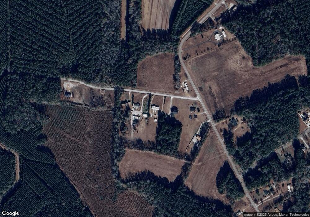
Map
Nearby Homes
- 1911 Dirty Branch Rd
- 3120 Merganser Dr
- 3230 Merganser Dr
- 1301 Mandarin Dr
- 3524 Merganser Dr
- 1300 Ruddy Ct
- TBD New Rd
- 5241 Cates Bay Hwy
- 7.4 Acs Cates Bay Hwy Unit Lot 10
- 5.47 Acs Cates Bay Hwy Unit Lot 4
- 6.97 Acs Cates Bay Hwy Unit Lot 12
- 19.09 Acs Cates Bay Hwy Unit Lot 11
- 5.73 Acs Cates Bay Hwy Unit Lot 5
- 6.84 Acs Cates Bay Hwy Unit Lot 8
- 7.39 Acs Cates Bay Hwy Unit Lot 9
- 9.33 Acs Cates Bay Hwy Unit Lot 13
- 2812 Highway 378
- 0 Juniper Bay Rd
- 632 Golden Resin Rd Unit Lot 190
- 628 Golden Resin Rd
- 4213 Ossie Ln
- 4243 Ossie Ln
- 4201 Ossie Ln
- 1688 Dirty Branch Rd
- 1676 Dirty Branch Rd
- 4251 Ossie Ln
- TBD Ossie
- 1664 Dirty Branch Rd
- 1527 Dirty Branch Rd
- TBD Blain Ln
- 3348 Blain Ln
- 1749 Dirty Branch Rd
- 3345 Blain Ln
- 9433 Carrington Dr
- 0 Dirty Branch Rd SW Unit 1801532
- Dirty Branch Rd Dirty Branch Rd
- TBD 28.82 Acres Dirty Branch Rd
- 1750 Dirty Branch Rd
- 1746 Dirty Branch Rd
- 3341 Blain Ln