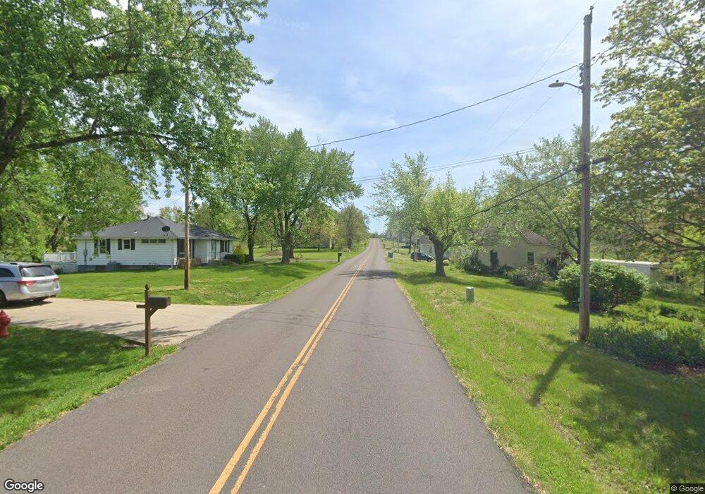
4221 Route Nn Centertown, MO 65023
Estimated Value: $250,000 - $418,000
3
Beds
3
Baths
1,550
Sq Ft
$212/Sq Ft
Est. Value
About This Home
This home is located at 4221 Route Nn, Centertown, MO 65023 and is currently estimated at $328,174, approximately $211 per square foot. 4221 Route Nn is a home located in Cole County with nearby schools including Pioneer Trail Elementary School, Thomas Jefferson Middle School, and Capital City High School.
Ownership History
Date
Name
Owned For
Owner Type
Purchase Details
Closed on
Nov 21, 2021
Sold by
Talken and Sharon
Bought by
Baker Justin and Baker Julie
Current Estimated Value
Purchase Details
Closed on
Jan 15, 2021
Sold by
Larimore Dorothy and Larimore Billy
Bought by
Baker Justin and Baker Julie
Purchase Details
Closed on
Aug 1, 2019
Sold by
Higgins Clifford G and Higgins Theresia E
Bought by
Larimore Dorothy and Kirchner Mary
Create a Home Valuation Report for This Property
The Home Valuation Report is an in-depth analysis detailing your home's value as well as a comparison with similar homes in the area
Purchase History
| Date | Buyer | Sale Price | Title Company |
|---|---|---|---|
| Baker Justin | -- | None Listed On Document | |
| Talken David | -- | None Available | |
| Baker Justin | -- | None Available | |
| Talken David | -- | None Available | |
| Larimore Dorothy | -- | -- |
Source: Public Records
Tax History
| Year | Tax Paid | Tax Assessment Tax Assessment Total Assessment is a certain percentage of the fair market value that is determined by local assessors to be the total taxable value of land and additions on the property. | Land | Improvement |
|---|---|---|---|---|
| 2025 | $1,565 | $27,430 | $3,530 | $23,900 |
| 2024 | $16 | $27,430 | $3,530 | $23,900 |
| 2023 | $1,565 | $27,430 | $3,530 | $23,900 |
| 2022 | $1,496 | $26,140 | $0 | $26,140 |
| 2021 | $1,504 | $26,140 | $0 | $26,140 |
| 2020 | $1,523 | $33,110 | $3,102 | $30,008 |
| 2019 | $1,479 | $32,312 | $3,102 | $29,210 |
| 2018 | $1,478 | $26,161 | $3,126 | $23,035 |
| 2017 | $1,441 | $26,161 | $3,126 | $23,035 |
| 2016 | -- | $26,161 | $3,126 | $23,035 |
| 2015 | $1,224 | $0 | $0 | $0 |
| 2014 | $1,224 | $26,638 | $3,268 | $23,370 |
Source: Public Records
Map
Nearby Homes
- 0 Route Nn
- 0 7+ - Acres Route Nn
- 0 4 + - Acres Rt Nn
- 9417 Stieferman Ln
- 11812 Pine St
- 1407 Conrad St
- 0 W Railroad Rd
- 11814 Main St
- 318 Murphy Ford Road (Land Only) Rd
- 23405 Missouri 179
- 0 Murphy Ford Rd
- 31602 Mockingbird Rd
- 6115 Napa Ridge Rd
- 202 Carel Rd
- 0 Poelker Place Unit 10070469
- 0 Poelker Place Unit 10070470
- 01 E Cedar Tree Ln
- 02 E Cedar Tree Ln
- 6916 Spring Park Dr
- 20200 S Jemerson Creek Rd
- 4306 Route Nn
- 4318 Route Nn
- 4322 Route Nn
- 4017 Route Nn
- 4407 Route Nn
- 4408 Route Nn
- 4516 Route Nn
- 3923 Route Nn
- 3905 Route Nn
- 4620 Route Nn
- 11612 N Rock Creek Rd
- 11510 N Rock Creek Rd
- 4719 Route Nn
- 11427 Mud Creek Rd
- 4524 Route Nn
- 3716 Route Nn
- 11415 Mud Creek Rd
- 11212 N Rock Creek Rd
- 3621 Route Nn
- 4907 Route Nn
