4222 Marks Ave Rootstown, OH 44272
Estimated Value: $332,000 - $461,000
3
Beds
3
Baths
1,472
Sq Ft
$266/Sq Ft
Est. Value
About This Home
This home is located at 4222 Marks Ave, Rootstown, OH 44272 and is currently estimated at $392,232, approximately $266 per square foot. 4222 Marks Ave is a home located in Portage County with nearby schools including Rootstown Middle School - Schnee Building and Rootstown High School.
Ownership History
Date
Name
Owned For
Owner Type
Purchase Details
Closed on
Jun 14, 2006
Sold by
Cech Donald J and Cech Beth A
Bought by
Brinko Robert J and Brinko Stacey L
Current Estimated Value
Home Financials for this Owner
Home Financials are based on the most recent Mortgage that was taken out on this home.
Original Mortgage
$230,000
Interest Rate
6.75%
Mortgage Type
Purchase Money Mortgage
Purchase Details
Closed on
Oct 1, 2000
Sold by
Huth Trustees Huth Family Trust Daniel L & Ka
Bought by
Cech Donald I and Cech Beth A
Home Financials for this Owner
Home Financials are based on the most recent Mortgage that was taken out on this home.
Original Mortgage
$128,000
Interest Rate
8.03%
Create a Home Valuation Report for This Property
The Home Valuation Report is an in-depth analysis detailing your home's value as well as a comparison with similar homes in the area
Purchase History
| Date | Buyer | Sale Price | Title Company |
|---|---|---|---|
| Brinko Robert J | $287,500 | None Available | |
| Cech Donald I | $250,000 | Endress/Lawyers Title |
Source: Public Records
Mortgage History
| Date | Status | Borrower | Loan Amount |
|---|---|---|---|
| Closed | Brinko Robert J | $230,000 | |
| Closed | Cech Donald I | $128,000 |
Source: Public Records
Tax History
| Year | Tax Paid | Tax Assessment Tax Assessment Total Assessment is a certain percentage of the fair market value that is determined by local assessors to be the total taxable value of land and additions on the property. | Land | Improvement |
|---|---|---|---|---|
| 2024 | $5,293 | $133,560 | $19,530 | $114,030 |
| 2023 | $4,395 | $98,980 | $17,220 | $81,760 |
| 2022 | $4,361 | $98,980 | $17,220 | $81,760 |
| 2021 | $4,379 | $98,980 | $17,220 | $81,760 |
| 2020 | $3,935 | $85,720 | $16,420 | $69,300 |
| 2019 | $3,949 | $85,720 | $16,420 | $69,300 |
| 2018 | $3,706 | $76,580 | $17,430 | $59,150 |
| 2017 | $3,706 | $76,580 | $17,430 | $59,150 |
| 2016 | $3,673 | $76,580 | $17,430 | $59,150 |
| 2015 | $3,715 | $76,580 | $17,430 | $59,150 |
| 2014 | $2,993 | $60,520 | $17,430 | $43,090 |
| 2013 | $2,972 | $60,520 | $17,430 | $43,090 |
Source: Public Records
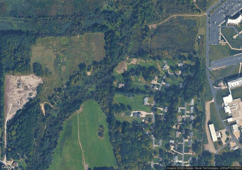
Map
Nearby Homes
- V/L 2 Lynn Rd
- V/L Lynn Rd
- 0 Lynn Rd Unit 5110102
- 3689 Cherry Hill
- sub lot Lane Ave
- 4415 Farmette Dr
- 4691 Scenic Dr
- 4140 Sandy Lake Rd
- 0 New Milford Rd Unit 11489599
- 0 New Milford Rd Unit 5108183
- 4225 Hattrick Rd
- 3136 Bird Dr
- 4058 Bayberry Knoll Ln
- 3637 Old Forge Rd
- 3925 Summit Rd
- 694 Summit Rd
- 3021 Hartville Rd
- 5403 Winding Creek Dr
- 1042 Canterbury Way Dr
- 668 Westbrook Ct