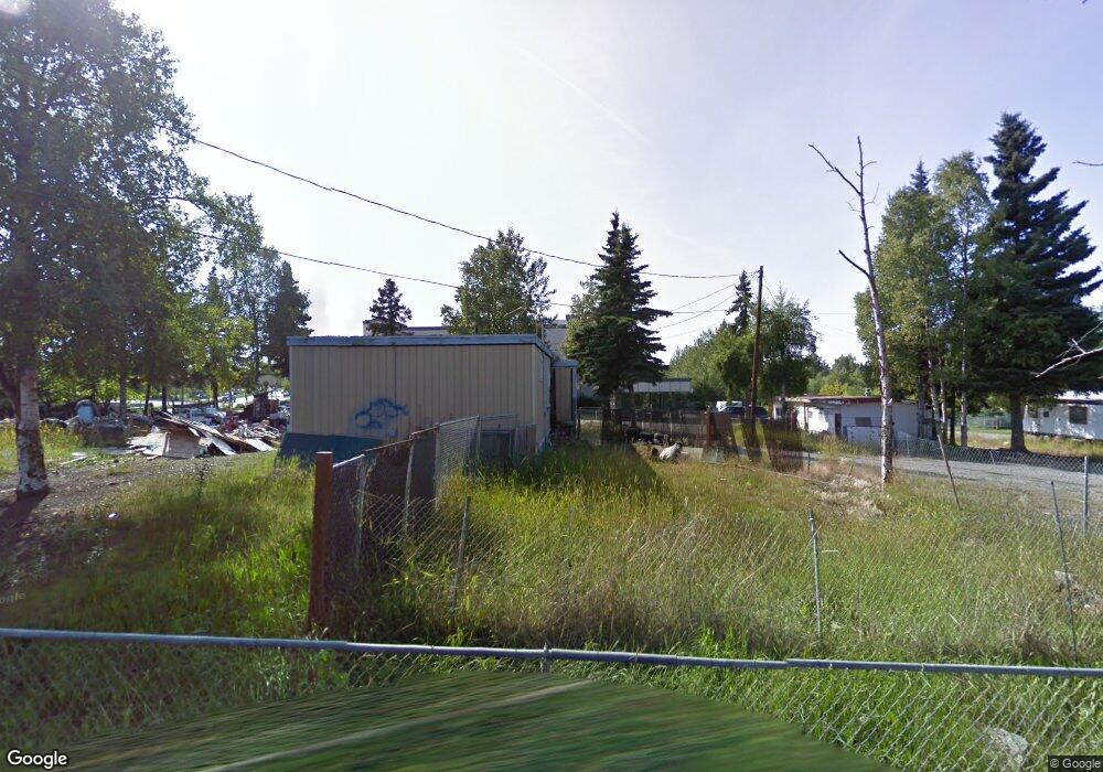
4222 Spenard Rd Anchorage, AK 99517
Spenard NeighborhoodEstimated Value: $466,000
Studio
--
Bath
720
Sq Ft
$647/Sq Ft
Est. Value
About This Home
This home is located at 4222 Spenard Rd, Anchorage, AK 99517 and is currently priced at $466,000, approximately $647 per square foot. 4222 Spenard Rd is a home located in Anchorage Municipality with nearby schools including Northwood Elementary School, Romig Middle School, and West High School.
Ownership History
Date
Name
Owned For
Owner Type
Purchase Details
Closed on
May 1, 2006
Sold by
Hunziker Jong Nye
Bought by
Frontier Properties Investment Llc
Current Estimated Value
Home Financials for this Owner
Home Financials are based on the most recent Mortgage that was taken out on this home.
Original Mortgage
$245,000
Interest Rate
6.3%
Mortgage Type
Commercial
Create a Home Valuation Report for This Property
The Home Valuation Report is an in-depth analysis detailing your home's value as well as a comparison with similar homes in the area
Home Values in the Area
Average Home Value in this Area
Purchase History
| Date | Buyer | Sale Price | Title Company |
|---|---|---|---|
| Frontier Properties Investment Llc | -- | None Available |
Source: Public Records
Mortgage History
| Date | Status | Borrower | Loan Amount |
|---|---|---|---|
| Closed | Frontier Properties Investment Llc | $245,000 |
Source: Public Records
Tax History
| Year | Tax Paid | Tax Assessment Tax Assessment Total Assessment is a certain percentage of the fair market value that is determined by local assessors to be the total taxable value of land and additions on the property. | Land | Improvement |
|---|---|---|---|---|
| 2025 | $9,130 | $569,200 | $450,800 | $118,400 |
| 2024 | $9,130 | $565,500 | $450,800 | $114,700 |
| 2023 | $9,537 | $560,000 | $450,800 | $109,200 |
| 2022 | $9,144 | $543,000 | $443,800 | $99,200 |
| 2021 | $9,788 | $543,200 | $443,800 | $99,400 |
| 2020 | $9,323 | $548,400 | $443,800 | $104,600 |
| 2019 | $8,990 | $549,500 | $443,800 | $105,700 |
| 2018 | $7,300 | $445,100 | $443,800 | $1,300 |
| 2017 | $6,970 | $445,100 | $443,800 | $1,300 |
| 2016 | $6,672 | $453,500 | $452,200 | $1,300 |
| 2015 | $6,672 | $428,500 | $427,200 | $1,300 |
| 2014 | $6,672 | $428,500 | $427,200 | $1,300 |
Source: Public Records
Map
Nearby Homes
- 4000 Iowa Dr
- NHN Northwood Dr
- 5000 Northwood Dr
- 4302 Forrest Rd
- 4420 Van Buren St
- 2511 Abbey Ln
- 3105 Lakeshore Dr Unit 4062
- 3517 Vintage Cir
- 2060 Wenmatt Cir
- 2201 W 47th Ave
- 2515 Aspen Dr
- 3333 Lakeshore Dr Unit 2
- 3333 Lakeshore Dr Unit 5
- 3240 Wiley Post Loop
- 3605 Oregon Dr Unit 4
- 3409 Oregon Dr
- 1808 W 47th Ave
- 3406 Wyoming Dr
- 3217 Oregon Dr
- 3507 Greenland Dr
- 4005 Barbara Dr
- 4001 Barbara Dr
- 4004 Arkansas Dr
- 3912 Barbara St
- 4002 Arkansas Dr
- 4006 Arkansas Dr
- 4004 Barbara Dr
- 4002 Barbara Dr
- 4006 Barbara Dr
- 3911 Barbara Dr
- 4000 Arkansas Dr
- 4100 Arkansas Dr
- 3910 Arkansas Dr
- 3910 Barbara Dr
- 4104 Arkansas Dr
- 3909 Barbara Dr
- 3907 Barbara Dr
- 3908 Arkansas Dr
- 3906 Barbara Dr
- 3905 Barbara Dr
Your Personal Tour Guide
Ask me questions while you tour the home.