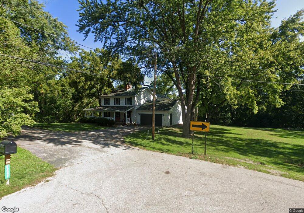
42221 N Forest St Antioch, IL 60002
Estimated Value: $440,000 - $576,000
3
Beds
2
Baths
2,626
Sq Ft
$186/Sq Ft
Est. Value
About This Home
This home is located at 42221 N Forest St, Antioch, IL 60002 and is currently estimated at $487,763, approximately $185 per square foot. 42221 N Forest St is a home located in Lake County with nearby schools including Antioch Community High School.
Ownership History
Date
Name
Owned For
Owner Type
Purchase Details
Closed on
Sep 19, 2002
Sold by
Oliver Sharon M and Wanland Julie R
Bought by
Farrell Anne M
Current Estimated Value
Home Financials for this Owner
Home Financials are based on the most recent Mortgage that was taken out on this home.
Original Mortgage
$195,000
Interest Rate
6.1%
Purchase Details
Closed on
Feb 28, 2000
Sold by
Oliver Sharon M
Bought by
Oliver Sharon M and Wanland Julie R
Home Financials for this Owner
Home Financials are based on the most recent Mortgage that was taken out on this home.
Original Mortgage
$180,000
Interest Rate
8.26%
Create a Home Valuation Report for This Property
The Home Valuation Report is an in-depth analysis detailing your home's value as well as a comparison with similar homes in the area
Home Values in the Area
Average Home Value in this Area
Purchase History
| Date | Buyer | Sale Price | Title Company |
|---|---|---|---|
| Farrell Anne M | $249,000 | -- | |
| Oliver Sharon M | -- | Lawyers Title Pick Up |
Source: Public Records
Mortgage History
| Date | Status | Borrower | Loan Amount |
|---|---|---|---|
| Previous Owner | Farrell Anne M | $195,000 | |
| Previous Owner | Oliver Sharon M | $180,000 |
Source: Public Records
Tax History Compared to Growth
Tax History
| Year | Tax Paid | Tax Assessment Tax Assessment Total Assessment is a certain percentage of the fair market value that is determined by local assessors to be the total taxable value of land and additions on the property. | Land | Improvement |
|---|---|---|---|---|
| 2024 | $13,109 | $154,182 | $8,207 | $145,975 |
| 2023 | $12,606 | $138,057 | $7,349 | $130,708 |
| 2022 | $12,606 | $128,653 | $6,951 | $121,702 |
| 2021 | $11,684 | $120,046 | $6,486 | $113,560 |
| 2020 | $11,448 | $116,731 | $6,307 | $110,424 |
| 2019 | $11,675 | $111,629 | $6,031 | $105,598 |
| 2018 | $11,156 | $109,113 | $4,971 | $104,142 |
| 2017 | $11,065 | $103,858 | $4,732 | $99,126 |
| 2016 | $10,799 | $100,230 | $4,567 | $95,663 |
| 2015 | $10,735 | $97,681 | $4,451 | $93,230 |
| 2014 | $10,500 | $103,323 | $9,908 | $93,415 |
| 2012 | $9,658 | $103,323 | $9,908 | $93,415 |
Source: Public Records
Map
Nearby Homes
- 336 Oakhill Ct
- 22678 W Silver Lake Ave
- 197 E Old Mill Trail
- 1101 N Deep Lake Rd
- 36 Burnette Dr
- 49 Burnette Dr
- 44 Burnette Dr
- 52 Burnette Dr
- 45 Van Dyke Dr
- 68 Burnette Dr
- 56 Burnette Dr
- 150 E Depot St
- 631 Hidden Creek Dr
- 152 E Depot St
- 672 Garys Dr
- 0 Anita Ave Unit MRD12354735
- 770 Anita Ave
- 41147 N Lincoln Ave
- 324 Elmwood Ln
- 602 Anita Ave
- 42211 N Forest St
- 22544 W Ridge Dr
- 42193 N Forest St
- 22562 W Ridge Dr
- 42171 N Forest St
- 22570 W Ridge Dr
- 42347 N Center St
- 924 Summer Hill Ct
- 1001 N East Rd
- 22590 W Ridge Dr
- 926 Summer Hill Ct
- 22536 W Silver Lake Ave
- 22576 W Silver Lake Ave
- 920 Summer Hill Ct
- 22590 W Silver Lake Ave
- 22600 W Ridge Dr
- 940 Harvest Dr
- 925 Summer Hill Ct
- 948 Harvest Dr
- 1005 N East Rd