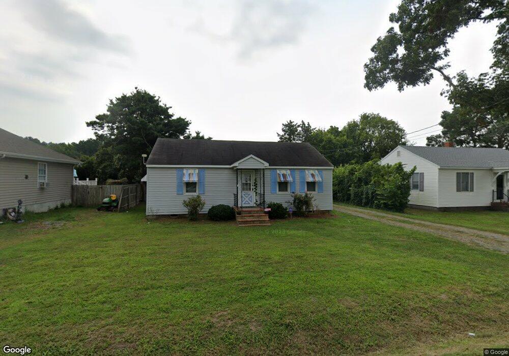
4223 Adron St Exmore, VA 23350
Estimated Value: $128,454 - $198,000
2
Beds
1
Bath
912
Sq Ft
$175/Sq Ft
Est. Value
About This Home
This home is located at 4223 Adron St, Exmore, VA 23350 and is currently estimated at $159,818, approximately $175 per square foot. 4223 Adron St is a home located in Northampton County with nearby schools including Northampton High School, Shore Christian Academy, and Broadwater Academy.
Ownership History
Date
Name
Owned For
Owner Type
Purchase Details
Closed on
Nov 21, 2024
Sold by
Schooner Properties Inc
Bought by
Andersen Robert L and Andersen Deborah J
Current Estimated Value
Purchase Details
Closed on
Mar 18, 2013
Sold by
Samuel I White Pc Sub Tr and Martinez Delores B
Bought by
Schooner Properties Inc
Purchase Details
Closed on
Jun 23, 2009
Sold by
Bowen Louis W and Bowen Kenneth Jackson
Bought by
Martinez Delores B
Home Financials for this Owner
Home Financials are based on the most recent Mortgage that was taken out on this home.
Original Mortgage
$90,514
Interest Rate
5.5%
Mortgage Type
New Conventional
Create a Home Valuation Report for This Property
The Home Valuation Report is an in-depth analysis detailing your home's value as well as a comparison with similar homes in the area
Home Values in the Area
Average Home Value in this Area
Purchase History
| Date | Buyer | Sale Price | Title Company |
|---|---|---|---|
| Andersen Robert L | -- | None Listed On Document | |
| Schooner Properties Inc | $29,751 | -- | |
| Martinez Delores B | $87,000 | A & N Title & Settlement Co |
Source: Public Records
Mortgage History
| Date | Status | Borrower | Loan Amount |
|---|---|---|---|
| Previous Owner | Martinez Delores B | $90,514 |
Source: Public Records
Tax History
| Year | Tax Paid | Tax Assessment Tax Assessment Total Assessment is a certain percentage of the fair market value that is determined by local assessors to be the total taxable value of land and additions on the property. | Land | Improvement |
|---|---|---|---|---|
| 2024 | $606 | $88,500 | $16,700 | $71,800 |
| 2023 | $438 | $57,600 | $12,400 | $45,200 |
| 2022 | $438 | $57,600 | $12,400 | $45,200 |
| 2021 | $466 | $55,800 | $11,000 | $44,800 |
| 2020 | $466 | $55,800 | $11,000 | $44,800 |
| 2019 | $470 | $56,600 | $11,000 | $45,600 |
| 2018 | $470 | $56,600 | $11,000 | $45,600 |
| 2017 | $486 | $56,600 | $11,000 | $45,600 |
| 2016 | $486 | $58,600 | $12,000 | $46,600 |
| 2015 | -- | $58,600 | $12,000 | $46,600 |
| 2011 | -- | $78,500 | $18,000 | $60,500 |
Source: Public Records
Map
Nearby Homes
- 0 Lankford Hwy Unit VAAC2002166
- LOT 21, B & A Lankford Hwy
- Lot C Lankford Hwy Unit 43C
- Lot 21+ Lankford Hwy Unit 21+
- 5.75 AC Lankford Hwy
- Lot D Lankford Hwy Unit 43D
- 4160 Hadlock Rd
- 4126 Main St
- 0 Benjamin Street and Lankford Hwy Unit VANH2000036
- 11505 Holly Cir
- 11 Lankford Hwy
- 11522 Poplar Ave
- B-3 Ruth Wise Rd
- D-5 Ruth Wise Rd
- F-7 Ruth Wise Rd
- C-4 Ruth Wise Rd
- A-2 Ruth Wise Rd
- E-6 Ruth Wise Rd
- - Roosevelt Ave Unit A
- 3415 Willis Wharf Rd
Your Personal Tour Guide
Ask me questions while you tour the home.