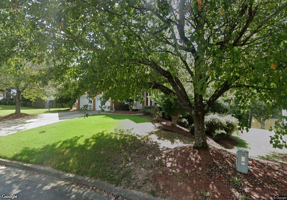
4224 Silver Peak Pkwy Unit 1 Suwanee, GA 30024
Estimated Value: $617,000 - $658,000
3
Beds
3
Baths
2,876
Sq Ft
$223/Sq Ft
Est. Value
About This Home
This home is located at 4224 Silver Peak Pkwy Unit 1, Suwanee, GA 30024 and is currently estimated at $639,995, approximately $222 per square foot. 4224 Silver Peak Pkwy Unit 1 is a home located in Gwinnett County with nearby schools including Level Creek Elementary School, North Gwinnett Middle School, and North Gwinnett High School.
Ownership History
Date
Name
Owned For
Owner Type
Purchase Details
Closed on
Apr 17, 1998
Sold by
Sharp Development Inc
Bought by
Shah Rajendrakumar K
Current Estimated Value
Home Financials for this Owner
Home Financials are based on the most recent Mortgage that was taken out on this home.
Original Mortgage
$185,600
Outstanding Balance
$33,266
Interest Rate
7.14%
Mortgage Type
New Conventional
Estimated Equity
$606,729
Create a Home Valuation Report for This Property
The Home Valuation Report is an in-depth analysis detailing your home's value as well as a comparison with similar homes in the area
Home Values in the Area
Average Home Value in this Area
Purchase History
| Date | Buyer | Sale Price | Title Company |
|---|---|---|---|
| Shah Rajendrakumar K | $232,000 | -- |
Source: Public Records
Mortgage History
| Date | Status | Borrower | Loan Amount |
|---|---|---|---|
| Open | Shah Rajendrakumar K | $185,600 |
Source: Public Records
Tax History Compared to Growth
Tax History
| Year | Tax Paid | Tax Assessment Tax Assessment Total Assessment is a certain percentage of the fair market value that is determined by local assessors to be the total taxable value of land and additions on the property. | Land | Improvement |
|---|---|---|---|---|
| 2025 | $876 | $262,080 | $44,080 | $218,000 |
| 2024 | $876 | $227,360 | $39,200 | $188,160 |
| 2023 | $876 | $227,360 | $39,200 | $188,160 |
| 2022 | $1,936 | $206,960 | $39,200 | $167,760 |
| 2021 | $1,616 | $160,080 | $29,440 | $130,640 |
| 2020 | $1,553 | $147,240 | $29,440 | $117,800 |
| 2019 | $869 | $141,000 | $35,600 | $105,400 |
| 2018 | $3,382 | $119,200 | $32,400 | $86,800 |
| 2016 | $3,140 | $107,950 | $27,540 | $80,410 |
| 2015 | $3,290 | $113,400 | $27,000 | $86,400 |
| 2014 | -- | $113,400 | $27,000 | $86,400 |
Source: Public Records
Map
Nearby Homes
- 1350 Peachtree Industrial Blvd
- 837 Village Manor Place
- 858 Red Rock Ct
- 4282 Goldfield Trace Unit 4
- 4339 Lansfaire Terrace Unit 4
- 1116 Bartlett Trace
- 1621 Wellborn Walk
- 4544 Silver Peak Pkwy
- 780 Village Field Ct
- 4265 Lansmoore Crossing
- 733 Vinebrook Ln Unit 3
- 3880 Brushy Creek Way
- 655 Grove Manor Ct
- 645 Stonepark Ln
- 4416 Village Field Place
- 4335 Landover Way Unit 3
- 671 Village Field Ct
- 755 Amberton Close Unit 2
- 4234 Silver Peak Pkwy
- 4214 Silver Peak Pkwy Unit 1
- 4204 Silver Peak Pkwy
- 4244 Silver Peak Pkwy Unit 1
- 4229 Silver Peak Pkwy
- 720 Silver Peak Ct
- 4254 Silver Peak Pkwy
- 725 Silver Peak Ct Unit 14
- 725 Silver Peak Ct Unit 1
- 790 Yosemite Dr
- 4264 Silver Peak Pkwy
- 780 Yosemite Dr Unit 1
- 4239 Carlsbad Ct
- 800 Yosemite Dr
- 750 Yosemite Dr
- 710 Silver Peak Ct
- 770 Yosemite Dr
- 740 Yosemite Dr
- 705 Silver Peak Ct
- 760 Yosemite Dr