42240 N 113th Way Scottsdale, AZ 85262
Desert Mountain NeighborhoodEstimated Value: $6,176,000 - $8,754,000
--
Bed
10
Baths
9,139
Sq Ft
$797/Sq Ft
Est. Value
About This Home
This home is located at 42240 N 113th Way, Scottsdale, AZ 85262 and is currently estimated at $7,283,835, approximately $797 per square foot. 42240 N 113th Way is a home located in Maricopa County with nearby schools including Black Mountain Elementary School, Cactus Shadows High School, and Sonoran Trails Middle School.
Ownership History
Date
Name
Owned For
Owner Type
Purchase Details
Closed on
Oct 20, 2022
Sold by
Brian W Lang Trust
Bought by
Lang Family Living Trust
Current Estimated Value
Purchase Details
Closed on
Sep 28, 2004
Sold by
Desert Mountain Properties Lp
Bought by
Lang Brian W
Purchase Details
Closed on
Jun 20, 2001
Sold by
Desert Mountain Properties Ltd Prtnrshp
Bought by
Kelcin Llc
Purchase Details
Closed on
May 31, 2001
Sold by
Cooper John F
Bought by
Desert Mountain Properties Ltd Prtnrshp
Create a Home Valuation Report for This Property
The Home Valuation Report is an in-depth analysis detailing your home's value as well as a comparison with similar homes in the area
Home Values in the Area
Average Home Value in this Area
Purchase History
| Date | Buyer | Sale Price | Title Company |
|---|---|---|---|
| Lang Family Living Trust | -- | -- | |
| Lang Brian W | $1,100,000 | First American Title Ins Co | |
| Kelcin Llc | $1,675,000 | First American Title | |
| Desert Mountain Properties Ltd Prtnrshp | $2,000,000 | First American Title |
Source: Public Records
Tax History Compared to Growth
Tax History
| Year | Tax Paid | Tax Assessment Tax Assessment Total Assessment is a certain percentage of the fair market value that is determined by local assessors to be the total taxable value of land and additions on the property. | Land | Improvement |
|---|---|---|---|---|
| 2025 | $21,692 | $412,253 | -- | -- |
| 2024 | $20,534 | $392,622 | -- | -- |
| 2023 | $20,534 | $433,510 | $86,700 | $346,810 |
| 2022 | $19,884 | $356,120 | $71,220 | $284,900 |
| 2021 | $21,568 | $339,970 | $67,990 | $271,980 |
| 2020 | $22,255 | $373,600 | $74,720 | $298,880 |
| 2019 | $21,453 | $368,880 | $73,770 | $295,110 |
| 2018 | $20,791 | $324,710 | $64,940 | $259,770 |
| 2017 | $19,887 | $335,250 | $67,050 | $268,200 |
| 2016 | $19,951 | $305,300 | $61,060 | $244,240 |
| 2015 | $18,786 | $355,050 | $71,010 | $284,040 |
Source: Public Records
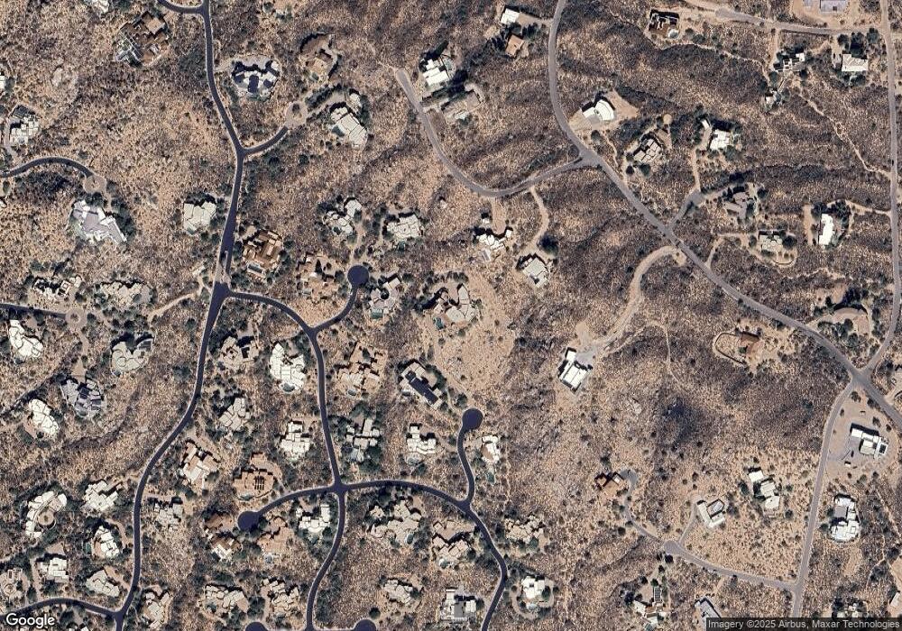
Map
Nearby Homes
- 42035 N 113th Way
- 42383 N 111th Place
- 11426 E Cottontail Rd
- 11301 E Mariola Way
- 41830 N 113th Place Unit 140
- 11108 E Mariola Way
- 41823 N 112th Place Unit 125
- 11179 E Honda Bow Rd
- 41823 N 111th Place
- 11426 E Quail Ln
- 41777 N 111th Place
- 11155 E Honda Bow Rd
- 000 E Quail Ln Unit 153
- 41667 N 113th Place
- 11070 E Rolling Rock Dr
- 41472 N Deer Trail Rd
- 42846 N 111th Place Unit 94
- 42143 N 108th Place Unit 36
- 42434 N Tonto Rd
- 11602 E Manana Rd
- 42325 N 112th Way
- 42175 N 113th Way Unit 160
- 42184 N 113th Way
- 42408 N Sombrero Rd
- 42353 N 112th Way
- 42418 N Sombrero Rd
- 42269 N 112th Way Unit 165
- 42243 N 112th Place
- 42234 N Old Mine Rd
- 42340 N 112th Way
- 42156 N 113th Way
- 42368 N 112th Way
- 42147 N 113th Way
- 42260 N Old Mine Rd
- 42260 N Old Mine Rd
- 42159 N 112th Place
- 42256 N 112th Place
- 42220 N Old Mine Rd
- 42220 N Old Mine Rd
- 42600 N Old Mine Rd Unit 124