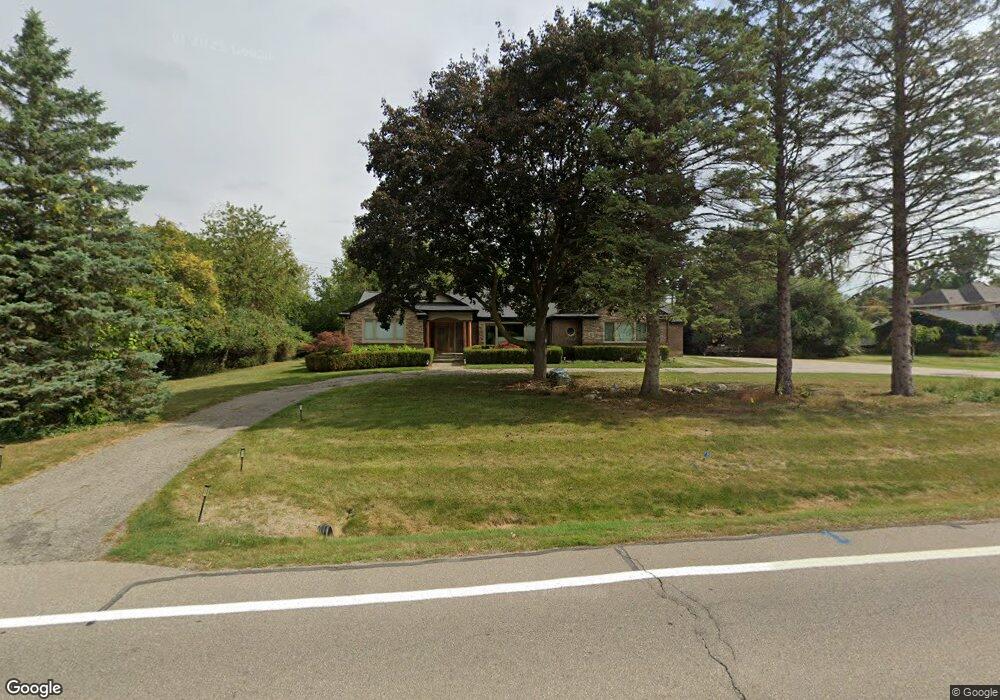
4225 Franklin Rd Bloomfield Hills, MI 48302
Estimated Value: $614,000 - $737,000
3
Beds
2
Baths
1,686
Sq Ft
$394/Sq Ft
Est. Value
About This Home
This home is located at 4225 Franklin Rd, Bloomfield Hills, MI 48302 and is currently estimated at $664,995, approximately $394 per square foot. 4225 Franklin Rd is a home located in Oakland County with nearby schools including Conant Elementary School, South Hills Middle School, and Bloomfield Hills High School.
Ownership History
Date
Name
Owned For
Owner Type
Purchase Details
Closed on
Jul 28, 2008
Sold by
Mortgage Electronic Registration Systems
Bought by
Federal National Mortgage Association
Current Estimated Value
Purchase Details
Closed on
Jul 8, 2008
Sold by
Stojanovski Borko
Bought by
Mortgage Electronic Registration Systems
Purchase Details
Closed on
May 9, 2007
Sold by
Srinivasan Ganesh
Bought by
Stojanovski Borko
Create a Home Valuation Report for This Property
The Home Valuation Report is an in-depth analysis detailing your home's value as well as a comparison with similar homes in the area
Home Values in the Area
Average Home Value in this Area
Purchase History
| Date | Buyer | Sale Price | Title Company |
|---|---|---|---|
| Federal National Mortgage Association | -- | None Available | |
| Mortgage Electronic Registration Systems | $288,717 | None Available | |
| Stojanovski Borko | $345,000 | Bloomfield Title Agency |
Source: Public Records
Tax History Compared to Growth
Tax History
| Year | Tax Paid | Tax Assessment Tax Assessment Total Assessment is a certain percentage of the fair market value that is determined by local assessors to be the total taxable value of land and additions on the property. | Land | Improvement |
|---|---|---|---|---|
| 2024 | $3,062 | $275,460 | $0 | $0 |
| 2023 | $2,964 | $247,740 | $0 | $0 |
| 2022 | $5,569 | $225,010 | $0 | $0 |
| 2021 | $5,530 | $193,620 | $0 | $0 |
| 2020 | $2,711 | $206,710 | $0 | $0 |
| 2019 | $5,203 | $184,420 | $0 | $0 |
| 2018 | $5,227 | $180,720 | $0 | $0 |
| 2017 | $5,190 | $174,770 | $0 | $0 |
| 2016 | $5,200 | $169,100 | $0 | $0 |
| 2015 | -- | $143,290 | $0 | $0 |
| 2014 | -- | $133,750 | $0 | $0 |
| 2011 | -- | $97,350 | $0 | $0 |
Source: Public Records
Map
Nearby Homes
- 4123 Chimney Point Dr
- 4535 Grindley Ct
- 1347 N Carillon Ct
- 1732 Blair House Ct
- 1462 Sodon Ct
- 1567 Island Ln
- 00 Mohawk Ct
- 2668 Turtle Lake
- VL Lahser Road Lot 76
- 0001 Mohawk Ct
- 1214 Copperwood Dr
- 1795 Golf Ridge Dr Unit 19
- 1715 Lone Pine Rd
- 5148 Crest Knolls Ct
- 1612 Apple Ln
- 5190 Clarendon Crest St
- 1907 Raymond Place
- 1992 Bent Tree Trail
- 4297 Wabeek Lake Dr S Unit 26
- 5340 Franklin Rd
- 4251 Franklin Rd
- 4226 Derry Rd
- 4252 Derry Rd
- 4183 Peg Leg Ct
- 4245 Smugglers Cove
- 4275 Franklin Rd
- 1574 Groton Rd
- 4171 Peg Leg Ct
- 4276 Derry Rd
- 4195 Peg Leg Ct
- 1563 Groton Rd
- 4251 Derry Rd
- 4257 Smugglers Cove
- 4233 Smugglers Cove
- 1562 Groton Rd
- 4301 Franklin Rd
- 4159 Peg Leg Ct
- 4300 Derry Rd
- 4269 Smugglers Cove
- 1555 Groton Rd