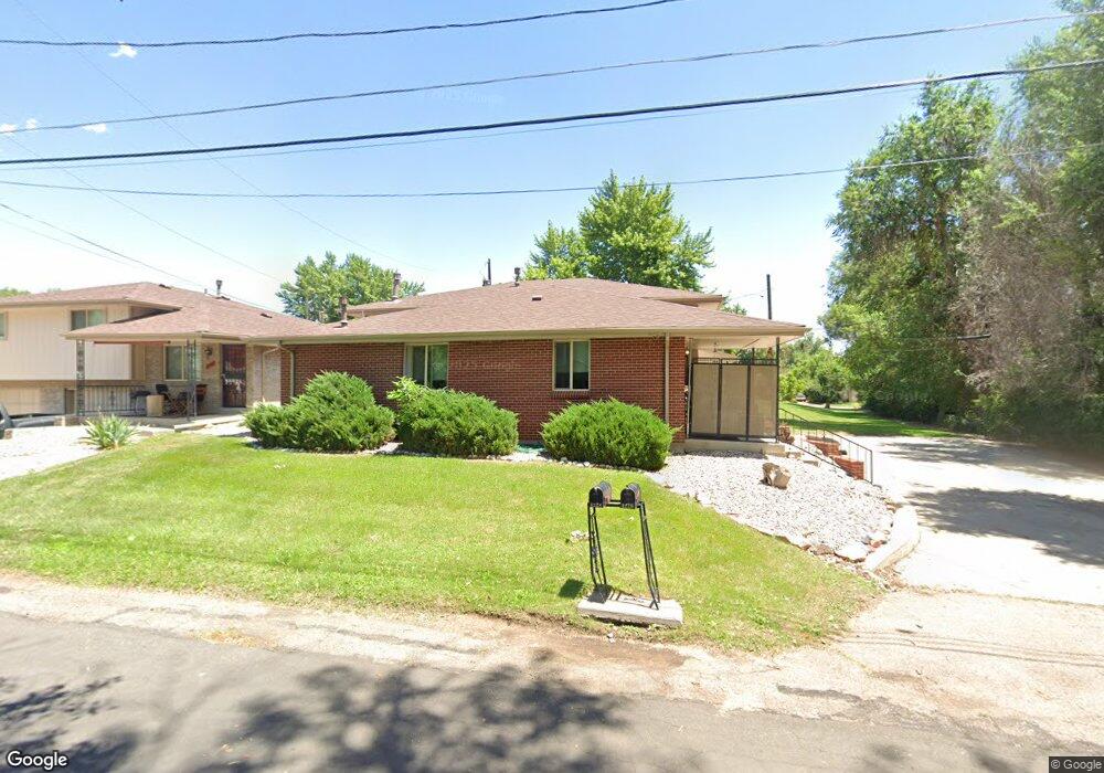
4226 Jellison St Wheat Ridge, CO 80033
Kipling NeighborhoodEstimated Value: $568,000 - $705,000
4
Beds
2
Baths
1,889
Sq Ft
$323/Sq Ft
Est. Value
About This Home
This home is located at 4226 Jellison St, Wheat Ridge, CO 80033 and is currently estimated at $610,959, approximately $323 per square foot. 4226 Jellison St is a home located in Jefferson County with nearby schools including Peak Expeditionary - Pennington, Everitt Middle School, and Wheat Ridge High School.
Ownership History
Date
Name
Owned For
Owner Type
Purchase Details
Closed on
Mar 30, 2006
Sold by
The Ralph A Deorio Marital Trust
Bought by
4226-4228 Jellison Street Llc
Current Estimated Value
Purchase Details
Closed on
Mar 22, 1999
Sold by
Deorio Ralph A and Marshall Evelyn A
Bought by
Deorio Ralph A
Home Financials for this Owner
Home Financials are based on the most recent Mortgage that was taken out on this home.
Original Mortgage
$125,000
Interest Rate
9.5%
Create a Home Valuation Report for This Property
The Home Valuation Report is an in-depth analysis detailing your home's value as well as a comparison with similar homes in the area
Home Values in the Area
Average Home Value in this Area
Purchase History
| Date | Buyer | Sale Price | Title Company |
|---|---|---|---|
| 4226-4228 Jellison Street Llc | -- | None Available | |
| Deorio Ralph A | -- | -- |
Source: Public Records
Mortgage History
| Date | Status | Borrower | Loan Amount |
|---|---|---|---|
| Previous Owner | Deorio Ralph A | $125,000 |
Source: Public Records
Tax History Compared to Growth
Tax History
| Year | Tax Paid | Tax Assessment Tax Assessment Total Assessment is a certain percentage of the fair market value that is determined by local assessors to be the total taxable value of land and additions on the property. | Land | Improvement |
|---|---|---|---|---|
| 2024 | $2,850 | $30,735 | $10,231 | $20,504 |
| 2023 | $2,850 | $30,735 | $10,231 | $20,504 |
| 2022 | $2,122 | $22,775 | $4,117 | $18,658 |
| 2021 | $2,200 | $23,946 | $4,328 | $19,618 |
| 2020 | $2,356 | $25,699 | $5,776 | $19,923 |
| 2019 | $2,324 | $25,699 | $5,776 | $19,923 |
| 2018 | $2,285 | $24,558 | $4,266 | $20,292 |
| 2017 | $2,081 | $24,558 | $4,266 | $20,292 |
| 2016 | $1,808 | $19,988 | $4,522 | $15,466 |
| 2015 | $1,639 | $19,988 | $4,522 | $15,466 |
| 2014 | $1,639 | $17,043 | $4,012 | $13,031 |
Source: Public Records
Map
Nearby Homes
- 9870 W 41st Ave
- 4201 Garland St
- 10095 W 41st Ave
- 3880 Independence Ct
- 4643 Independence St Unit 9
- 10251 W 44th Ave Unit 6-106
- 9800 W 38th Ave
- 10187 W 38th Ave
- 10151 W 38th Ave
- 3775 Garland St
- 4077 Everett St
- 4658 Flower St Unit 4658
- 8976 W 46th Place Unit 8976
- 3720 Miller St
- 4737 Flower St Unit 4737
- 3746 Miller Ct
- 4563 Everett St
- 3730 Miller Ct
- 3738 Miller Ct
- 3732 Miller Ct