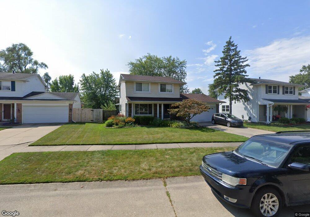
42261 Gloria Dr Unit Bldg-Unit Canton, MI 48187
Estimated Value: $339,321 - $387,000
--
Bed
2
Baths
1,548
Sq Ft
$231/Sq Ft
Est. Value
About This Home
This home is located at 42261 Gloria Dr Unit Bldg-Unit, Canton, MI 48187 and is currently estimated at $357,830, approximately $231 per square foot. 42261 Gloria Dr Unit Bldg-Unit is a home located in Wayne County with nearby schools including Canton High School, Discovery Middle School, and Salem High School.
Ownership History
Date
Name
Owned For
Owner Type
Purchase Details
Closed on
Aug 24, 2022
Sold by
Ott Samuel M
Bought by
Hi James Callow
Current Estimated Value
Purchase Details
Closed on
Mar 16, 2018
Sold by
Mcgraw Kars and Brenhan Kara
Bought by
Ott Samuel M
Purchase Details
Closed on
Jun 27, 2008
Sold by
Greene Thomas E and Greene Susan E
Bought by
Brennan Kara
Home Financials for this Owner
Home Financials are based on the most recent Mortgage that was taken out on this home.
Original Mortgage
$176,127
Interest Rate
6.15%
Mortgage Type
FHA
Purchase Details
Closed on
Jul 19, 2002
Sold by
Miller Curtis R
Bought by
Green Thomas E
Purchase Details
Closed on
Jul 26, 1996
Sold by
Mille Curtis R and Mille Karen
Bought by
Gonzalez David V and Gonzalez Martha
Create a Home Valuation Report for This Property
The Home Valuation Report is an in-depth analysis detailing your home's value as well as a comparison with similar homes in the area
Home Values in the Area
Average Home Value in this Area
Purchase History
| Date | Buyer | Sale Price | Title Company |
|---|---|---|---|
| Hi James Callow | $305,000 | -- | |
| Ott Samuel M | $226,500 | None Available | |
| Brennan Kara | $178,900 | Title Source Inc | |
| Green Thomas E | $196,000 | -- | |
| Gonzalez David V | $139,000 | -- |
Source: Public Records
Mortgage History
| Date | Status | Borrower | Loan Amount |
|---|---|---|---|
| Previous Owner | Brennan Kara | $176,127 |
Source: Public Records
Tax History Compared to Growth
Tax History
| Year | Tax Paid | Tax Assessment Tax Assessment Total Assessment is a certain percentage of the fair market value that is determined by local assessors to be the total taxable value of land and additions on the property. | Land | Improvement |
|---|---|---|---|---|
| 2025 | $2,366 | $144,300 | $0 | $0 |
| 2024 | $2,366 | $136,700 | $0 | $0 |
| 2023 | $2,256 | $124,900 | $0 | $0 |
| 2022 | $4,347 | $112,500 | $0 | $0 |
| 2021 | $4,218 | $108,900 | $0 | $0 |
| 2020 | $4,165 | $106,600 | $0 | $0 |
| 2019 | $4,091 | $97,890 | $0 | $0 |
| 2018 | $1,248 | $95,000 | $0 | $0 |
| 2017 | $3,176 | $92,000 | $0 | $0 |
| 2016 | $2,798 | $90,200 | $0 | $0 |
| 2015 | $6,859 | $73,620 | $0 | $0 |
| 2013 | $6,685 | $69,570 | $0 | $0 |
| 2010 | -- | $70,700 | $36,382 | $34,318 |
Source: Public Records
Map
Nearby Homes
- 42075 Gloria Dr
- 42473 Lilley Pointe Dr Unit 39
- 42540 Lilley Pointe Dr
- 41878 Ravenwood St
- 42479 Redfern St
- 41659 Metaline Dr
- 829 Glenulline Dr
- 42789 Lilley Pointe Dr Unit 146
- 42771 Lilley Pointe Dr Unit 154
- 41715 Bedford Dr
- 41708 Bedford Dr
- 1494 Ranier Blvd
- 41565 Bedford Dr Unit 26
- 625 Kings Way
- 678 Kings Way
- 41512 Bedford Dr
- 42437 Majestic Ct
- 41567 SiMcOe Dr
- 407 N Willard Rd
- 41140 Northwind Dr
- 42261 Gloria Dr
- 42281 Gloria Dr
- 42239 Gloria Dr
- 42301 Gloria Dr
- 42219 Gloria Dr
- 42090 Hystone St
- 42114 Hystone St
- 42068 Hystone St
- 42136 Hystone St
- 42317 Gloria Dr
- 42260 Gloria Dr
- 42195 Gloria Dr
- 42044 Hystone St
- 4256 Lilley Pointe Dr
- 42220 Gloria Dr
- 42282 Gloria Dr
- 42162 Hystone St
- 42020 Hystone St
- 42194 Gloria Dr
- 42169 Gloria Dr