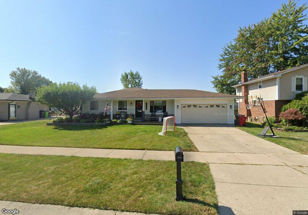
42265 Jason Dr Clinton Township, MI 48038
Estimated Value: $292,000 - $319,696
--
Bed
--
Bath
1,102
Sq Ft
$278/Sq Ft
Est. Value
About This Home
This home is located at 42265 Jason Dr, Clinton Township, MI 48038 and is currently estimated at $306,174, approximately $277 per square foot. 42265 Jason Dr is a home located in Macomb County with nearby schools including Erie Elementary School, Algonquin Middle School, and Chippewa Valley High School.
Ownership History
Date
Name
Owned For
Owner Type
Purchase Details
Closed on
Nov 9, 2020
Sold by
Dagostino David
Bought by
Dagostino David and Dagostino Katie M
Current Estimated Value
Purchase Details
Closed on
Apr 8, 2005
Sold by
Zolnoski Paul A
Bought by
Bank One Na
Purchase Details
Closed on
Oct 10, 2000
Sold by
Mackey Dale
Bought by
Zolnoski Paul A
Home Financials for this Owner
Home Financials are based on the most recent Mortgage that was taken out on this home.
Original Mortgage
$126,000
Interest Rate
7.87%
Create a Home Valuation Report for This Property
The Home Valuation Report is an in-depth analysis detailing your home's value as well as a comparison with similar homes in the area
Home Values in the Area
Average Home Value in this Area
Purchase History
| Date | Buyer | Sale Price | Title Company |
|---|---|---|---|
| Dagostino David | -- | None Available | |
| Bank One Na | $144,500 | -- | |
| Zolnoski Paul A | $157,500 | -- |
Source: Public Records
Mortgage History
| Date | Status | Borrower | Loan Amount |
|---|---|---|---|
| Previous Owner | Zolnoski Paul A | $126,000 |
Source: Public Records
Tax History Compared to Growth
Tax History
| Year | Tax Paid | Tax Assessment Tax Assessment Total Assessment is a certain percentage of the fair market value that is determined by local assessors to be the total taxable value of land and additions on the property. | Land | Improvement |
|---|---|---|---|---|
| 2025 | $3,480 | $172,900 | $0 | $0 |
| 2024 | $2,073 | $112,300 | $0 | $0 |
| 2023 | $1,981 | $98,000 | $0 | $0 |
| 2022 | $3,176 | $90,000 | $0 | $0 |
| 2021 | $3,088 | $85,500 | $0 | $0 |
| 2020 | $1,508 | $82,300 | $0 | $0 |
| 2019 | $2,387 | $77,700 | $0 | $0 |
| 2018 | $2,344 | $75,100 | $0 | $0 |
| 2017 | $2,316 | $70,400 | $17,600 | $52,800 |
| 2016 | $2,302 | $70,400 | $0 | $0 |
| 2015 | -- | $65,400 | $0 | $0 |
| 2014 | -- | $59,500 | $0 | $0 |
| 2011 | -- | $56,300 | $18,200 | $38,100 |
Source: Public Records
Map
Nearby Homes
- 42002 Coulon Dr
- 41992 Merrimac Cir
- 42680 Chippewa Dr Unit 28
- 18960 Sandhurst Dr
- 19790 Westchester Dr Unit 11
- 41985 Dorchester Ct
- 20140 Shoals Ct Unit 16
- 41704 Clinton Pines Dr
- 41321 Chestnut Dr
- 0 Clinton River Rd Unit 20251013874
- 42266 Brookview Ln Unit 1
- 42407 Creekside Dr Unit 165
- 42328 Sheridan Ct
- 20330 Rambling Dr
- 43363 Herring Dr
- 43274 Hillsboro Dr
- 19821 Woodview Dr
- 43377 Rivergate Dr
- 41217 Fortuna Dr E
- 43105 Sinnamon Dr
- 42251 Jason Dr
- 42281 Jason Dr
- 42108 Merrimac Cir
- 42094 Merrimac Cir
- 42209 Jason Dr
- 42295 Jason Dr
- 42246 Canberra Ct
- 42118 Merrimac Cir
- 42078 Merrimac Cir
- 42193 Jason Dr
- 42276 Jason Dr
- 42282 Jason Dr
- 42064 Merrimac Cir
- 42294 Jason Dr
- 42212 Canberra Ct
- 42238 Canberra Ct
- 42177 Jason Dr
- 42309 Jason Dr
- 42148 Merrimac Cir
- 42095 Merrimac Cir