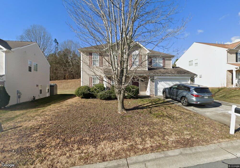
4228 Paula Dr Winston Salem, NC 27127
Estimated Value: $254,000 - $323,000
3
Beds
3
Baths
1,958
Sq Ft
$146/Sq Ft
Est. Value
About This Home
This home is located at 4228 Paula Dr, Winston Salem, NC 27127 and is currently estimated at $284,968, approximately $145 per square foot. 4228 Paula Dr is a home located in Forsyth County with nearby schools including Kimmel Farm Elementary School, Flat Rock Middle, and Parkland High.
Ownership History
Date
Name
Owned For
Owner Type
Purchase Details
Closed on
Sep 13, 2007
Sold by
Wells Fargo Bank Na
Bought by
Reid Angus F
Current Estimated Value
Purchase Details
Closed on
Mar 21, 2007
Sold by
Mccray Randall and Mccray Tonya
Bought by
Wells Fargo Bank Na
Purchase Details
Closed on
Sep 30, 2004
Sold by
The Ryland Group Inc
Bought by
Mccray Randall
Home Financials for this Owner
Home Financials are based on the most recent Mortgage that was taken out on this home.
Original Mortgage
$121,745
Interest Rate
7.15%
Mortgage Type
Purchase Money Mortgage
Create a Home Valuation Report for This Property
The Home Valuation Report is an in-depth analysis detailing your home's value as well as a comparison with similar homes in the area
Home Values in the Area
Average Home Value in this Area
Purchase History
| Date | Buyer | Sale Price | Title Company |
|---|---|---|---|
| Reid Angus F | $122,000 | None Available | |
| Wells Fargo Bank Na | $136,000 | None Available | |
| Mccray Randall | $153,000 | -- |
Source: Public Records
Mortgage History
| Date | Status | Borrower | Loan Amount |
|---|---|---|---|
| Previous Owner | Mccray Randall | $121,745 | |
| Closed | Mccray Randall | $30,436 |
Source: Public Records
Tax History Compared to Growth
Tax History
| Year | Tax Paid | Tax Assessment Tax Assessment Total Assessment is a certain percentage of the fair market value that is determined by local assessors to be the total taxable value of land and additions on the property. | Land | Improvement |
|---|---|---|---|---|
| 2024 | $2,229 | $166,500 | $30,000 | $136,500 |
| 2023 | $2,229 | $166,500 | $30,000 | $136,500 |
| 2022 | $2,187 | $166,500 | $30,000 | $136,500 |
| 2021 | $2,148 | $166,500 | $30,000 | $136,500 |
| 2020 | $1,740 | $126,000 | $30,000 | $96,000 |
| 2019 | $1,753 | $126,000 | $30,000 | $96,000 |
| 2018 | $1,664 | $126,000 | $30,000 | $96,000 |
| 2016 | $1,612 | $122,476 | $32,500 | $89,976 |
| 2015 | $1,588 | $122,476 | $32,500 | $89,976 |
| 2014 | $1,540 | $122,476 | $32,500 | $89,976 |
Source: Public Records
Map
Nearby Homes
- 2720 Pine Cove Dr
- 2032 Sabrina Lake Rd
- 1791 Timber Cove Ct
- 2366 W Clemmonsville Rd
- 0 Midpines Dr
- 1650 W Clemmonsville Rd
- 4004 Sherman Dr
- 0 Old Salisbury Rd Unit 1169541
- 157 Tortoise Ln
- 1654 Village Place
- 2111 Dave St
- 3075 Creighton Ln
- 1993 Winding Ridge Ct
- 1849 Gatehouse View Dr
- 4860 Manteo Ln
- 1818 Gatehouse View Dr
- 4841 Seminole Ct
- 4727 Eagle Path
- 4104 Moss Brook Dr
- 5027 Hogan Point Ct